Cape of Good Hope
📍 Cape Peninsula, Western Cape, South Africa
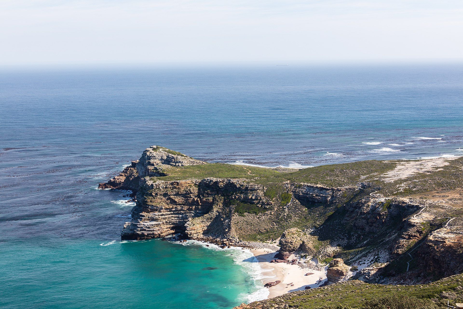
The wild, storied headland at the tip of the Cape Peninsula — soaring sea cliffs, wind-blasted fynbos and crashing surf where two ocean currents meet, long mistaken for the southern tip of Africa.
What makes it marvelous
The Cape of Good Hope is the rocky, dramatic climax of the Cape Peninsula, a spine of ancient sandstone thrust into the Atlantic and now protected within Table Mountain National Park. Towering above it, Cape Point's cliffs fall sheer to the sea, lashed by the surf that made this coast a graveyard of ships and gave the Cape its old name, the Cape of Storms. It is a common myth that this is where the Atlantic and Indian Oceans meet, or the southern tip of Africa — both honours actually belong to Cape Agulhas, about 150 km to the south-east — but the Cape of Good Hope remains the most south-western point of the continent, and one of its most atmospheric. The headland is cloaked in fynbos, the extraordinarily diverse shrubland of the Cape Floristic Region, and roamed by eland, bontebok, ostrich and troops of chacma baboons.
Why visit
Few capes feel this elemental: a short walk or funicular takes you to the old lighthouse on Cape Point, where the land ends in cliffs and the wind never stops, while empty white beaches and tidal pools line the shore below. It is an easy day trip from Cape Town, combining big scenery, unique flora and abundant wildlife.
More views of Cape of Good Hope
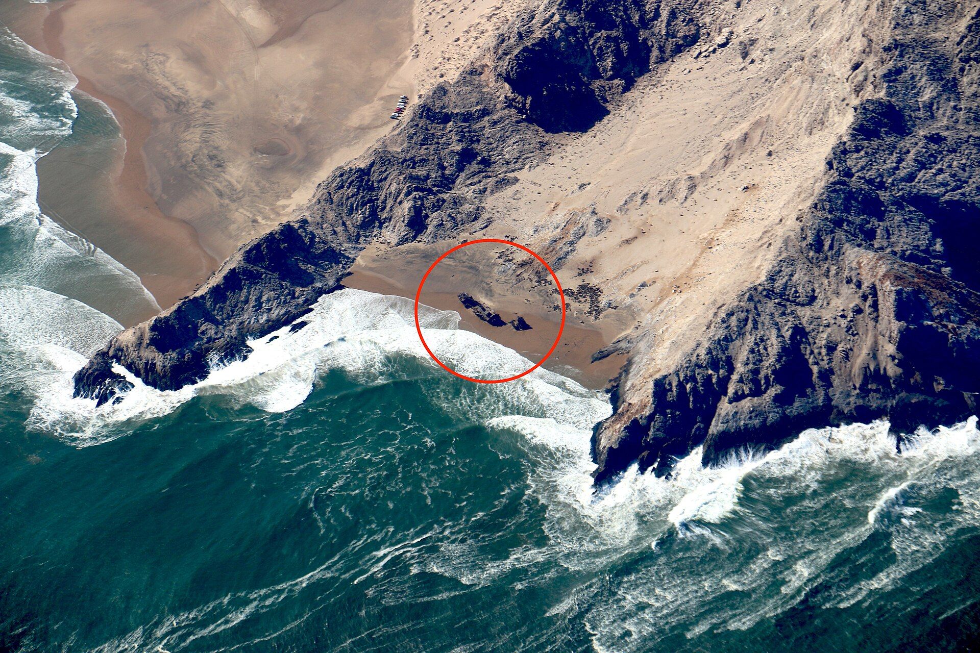
Additional photographs of the actual site — each freely licensed, with its photographer and licence credited.
What to know before you go
🗓️ Best time
Spring (September–November) brings wildflowers and calmer winds; summer (December–February) is warm but often very windy. Whales pass offshore between roughly June and November.
🧭 Getting there & access
The reserve sits at the southern end of the Cape Peninsula, about 60–75 minutes' drive from central Cape Town via Chapman's Peak Drive or the M3/M65. There is no rail to the point; car, tour or bicycle are the usual options.
Good to know
- Never feed the baboons and keep car windows and food out of sight — they are bold and can be aggressive.
- The wind is relentless at the point; bring a windproof layer even on hot days.
- Drive Chapman's Peak Drive one way for the coastal views (a toll road, weather-dependent).
Plan your visit
Easy🧭 Getting there
From Cape Town (CPT)
- Drive from central Cape Town via Chapman's Peak or the M3 to the reserve gate — about 60–75 minutes
- Continue to the Cape Point car park, then walk or take the funicular to the old lighthouse
- Total travel
- About 1–1.5 hours each way from Cape Town
- Time at site
- Half a day, or a full day combined with peninsula stops
- Access
- The reserve is part of Table Mountain National Park and charges a conservation fee at the gate. The Cape Point funicular is a separate optional ticket; trails and beaches are otherwise free to walk.
🎒 What to bring & consider
- A windproof, warm outer layer for the exposed point
- Sun protection and water for open, shadeless trails
- Baboon awareness — secure all food and valuables
- A full tank; there is little fuel near the reserve
👁️ What to expect
- Crowds
- Cape Point is busy midday with tour buses; early and late are quieter and better lit.
- Conditions
- Spectacular but very windy clifftop and coast, with strong sun and cool sea breezes.
- Facilities
- Good at Cape Point — funicular, restaurant, shop and viewpoints; sparse elsewhere.
- The view
- The old lighthouse and cliffs above the surf, framed from the upper viewpoint.
Times and requirements are approximate and change with season, weather, and local rules — confirm permits, fares, and schedules with operators before you travel.
Natural riches of the area
- Sheer Atlantic sea cliffs at Cape Point and the south-western tip of Africa
- Fynbos shrubland of the Cape Floristic Region, one of Earth's richest floral kingdoms
- Wildlife including eland, bontebok, ostrich, Cape zebra and chacma baboons
- Empty surf beaches, tidal pools and seasonal whale-watching waters
Local food
- Snoek
- A local line-fish, often braaied (grilled) over coals with apricot glaze.
- Bobotie
- A Cape Malay bake of spiced minced meat under a savoury egg custard.
- Koeksisters
- Plaited dough fried and steeped in syrup, sweet and sticky.
The Cape of Good Hope is the wild, wind-hammered climax of the Cape Peninsula — a spine of ancient sandstone driven out into the Atlantic and now protected within Table Mountain National Park. At Cape Point the cliffs fall sheer to a sea that has wrecked countless ships, the reason early Portuguese sailors first called it the Cape of Storms before it was hopefully renamed.
It carries two famous myths. This is not where the Atlantic and Indian Oceans meet, nor the southern tip of Africa; both belong to Cape Agulhas, some 150 kilometres to the south-east. What the Cape of Good Hope can claim is the most south-western point of the continent — and an atmosphere all its own, where the land simply runs out into cliff, surf and endless wind.
The headland is carpeted in fynbos, the astonishingly diverse Cape shrubland that forms one of the planet’s smallest and richest floral kingdoms, and roamed by eland, bontebok, ostrich and troublesome troops of baboons. An easy hour from Cape Town, it rewards visitors with an old clifftop lighthouse, empty surf beaches and, in season, whales passing offshore.
Cape of Good Hope: common questions
How do you get to Cape of Good Hope?
From Cape Town (CPT): Drive from central Cape Town via Chapman's Peak or the M3 to the reserve gate — about 60–75 minutes; Continue to the Cape Point car park, then walk or take the funicular to the old lighthouse. Total travel time: About 1–1.5 hours each way from Cape Town.
When is the best time to visit Cape of Good Hope?
Spring (September–November) brings wildflowers and calmer winds; summer (December–February) is warm but often very windy. Whales pass offshore between roughly June and November.
How long should you spend at Cape of Good Hope?
Half a day, or a full day combined with peninsula stops. Total travel time: About 1–1.5 hours each way from Cape Town.
What should you bring to Cape of Good Hope?
A windproof, warm outer layer for the exposed point Sun protection and water for open, shadeless trails Baboon awareness — secure all food and valuables A full tank; there is little fuel near the reserve
Do you need a permit or guide for Cape of Good Hope?
The reserve is part of Table Mountain National Park and charges a conservation fee at the gate. The Cape Point funicular is a separate optional ticket; trails and beaches are otherwise free to walk.
Is Cape of Good Hope crowded, and what are conditions like?
Cape Point is busy midday with tour buses; early and late are quieter and better lit. Spectacular but very windy clifftop and coast, with strong sun and cool sea breezes. Facilities: Good at Cape Point — funicular, restaurant, shop and viewpoints; sparse elsewhere.
Added