The High Atlas & Mount Toubkal
📍 High Atlas, near Imlil and Marrakesh, Morocco
The rugged spine of Morocco — a snow-topped range of bare rock and Berber villages rising south of Marrakesh to Jbel Toubkal, at 4,167 m the highest peak in North Africa and the Arab world.
What makes it marvelous
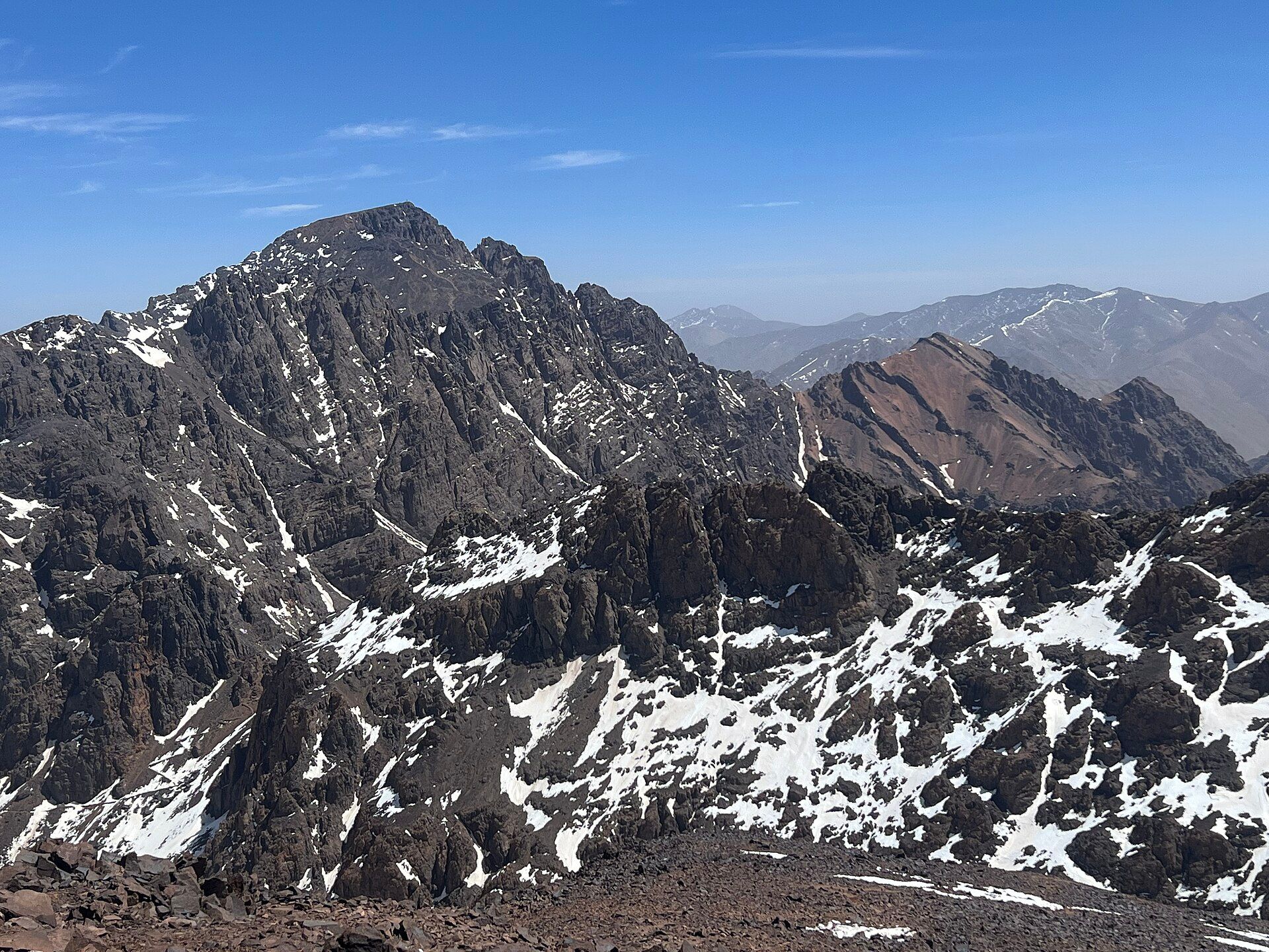
The High Atlas is the loftiest reach of the Atlas Mountains, a chain thrown up as the African and Eurasian plates collided and now standing as a 700 km barrier between the Atlantic plains and the Sahara. Its crown is Jbel Toubkal at 4,167 m — the highest summit in North Africa, the Arab world, and for more than 2,000 km around — an ultra-prominent peak visible from Marrakesh on a clear day and cloaked in snow through winter and spring. The range is a world of extremes: bare, folded rock and deep valleys, terraced fields and walnut groves clinging to the slopes, and Amazigh (Berber) villages of flat-roofed earthen houses whose way of life has followed the seasons here for centuries. Protected in part within Toubkal National Park, it holds the headwaters that feed the oases and cities below.
Why visit
This is Morocco's great trekking country, and the Toubkal ascent — a non-technical but demanding two-day climb from the trailhead village of Imlil, with a night at a mountain refuge — is North Africa's classic high-mountain objective. Even without a summit, the valleys around Imlil and the Ourika offer superb walking among Berber hamlets, an easy escape from the heat of Marrakesh just an hour or two away.
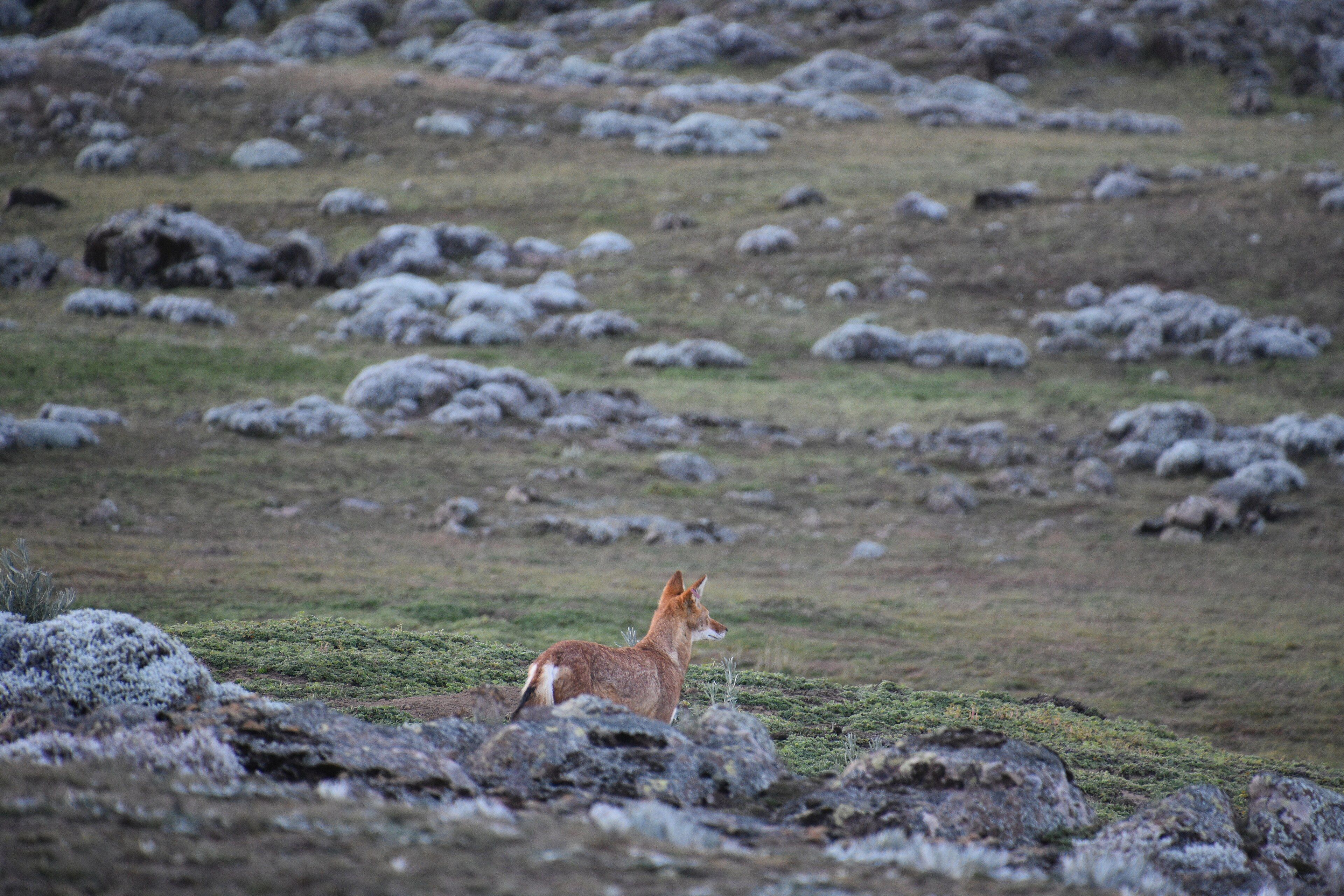
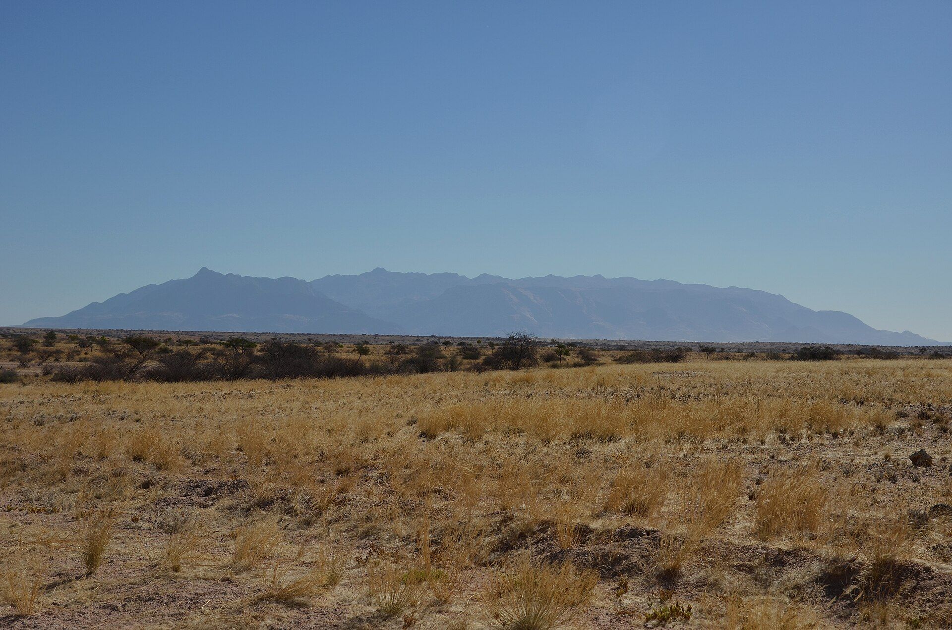
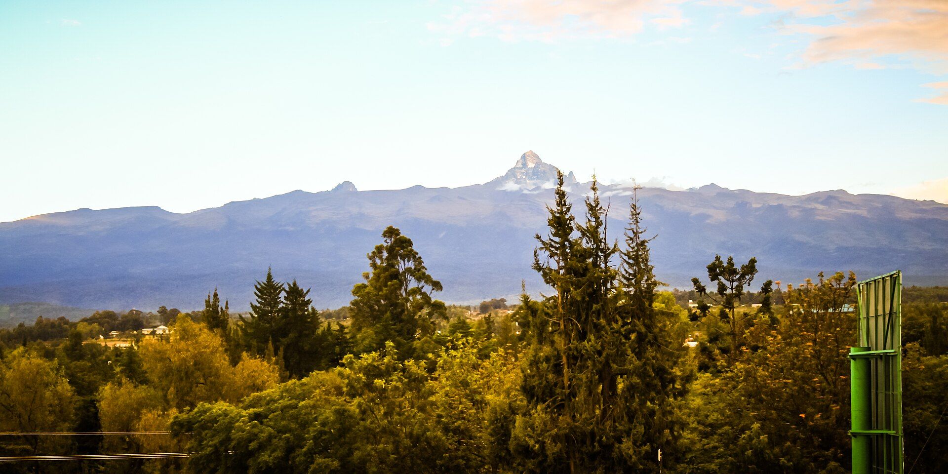
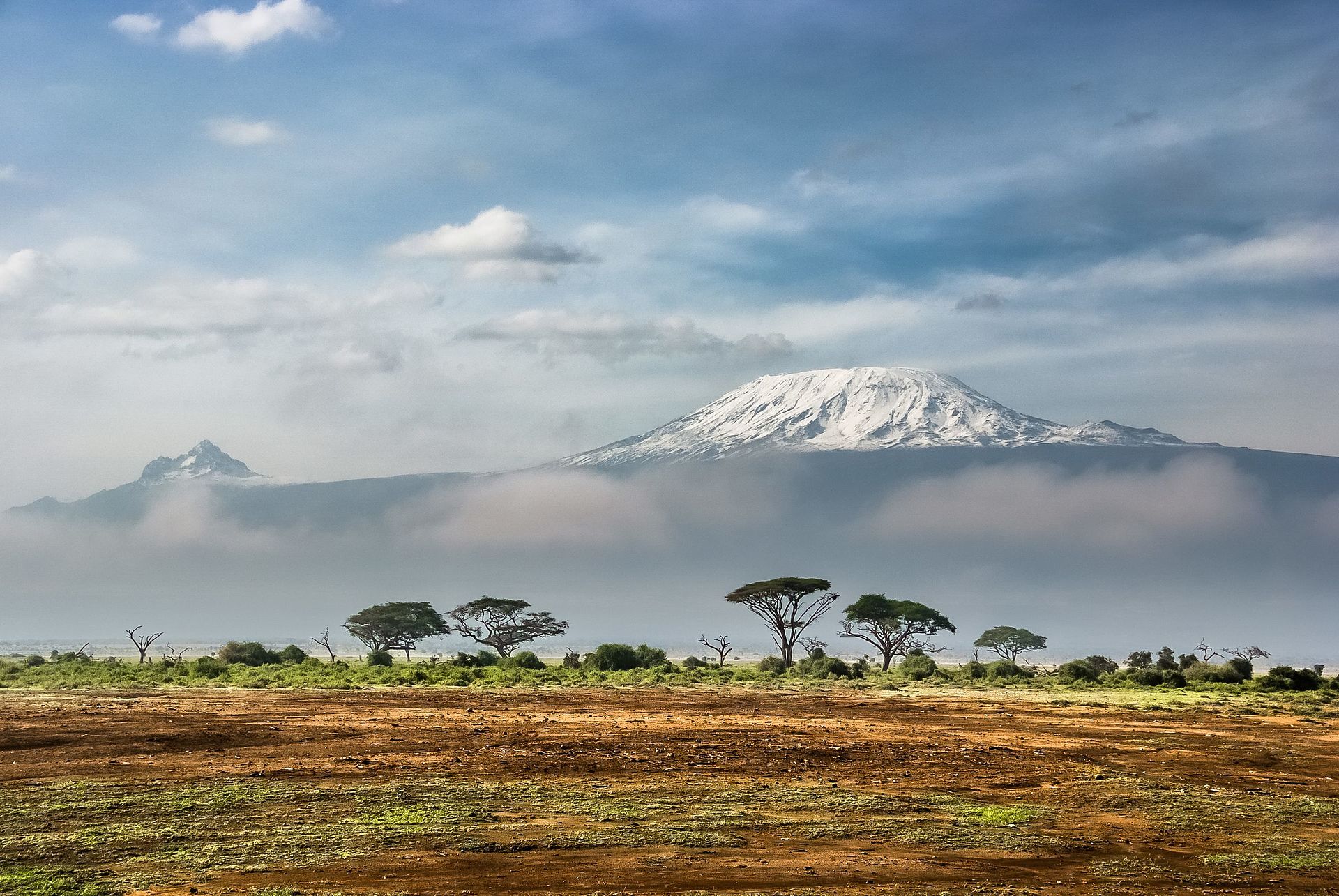
More views of The High Atlas & Mount Toubkal
Additional photographs of the actual site — each freely licensed, with its photographer and licence credited.
What to know before you go
🗓️ Best time
Late spring to autumn (April–October) for trekking, when the passes are clear of deep snow; the Toubkal summit needs winter mountaineering skills, ice axe and crampons from roughly November to March.
🧭 Getting there & access
Imlil, the main trailhead, is about 60 km south of Marrakesh (1.5–2 hours by road via Asni). Grand taxis and transfers run from Marrakesh; the higher valleys and refuges are reached on foot or by mule.
Good to know
- Climbing Toubkal is best done with a licensed local guide — required in practice and a support to Berber communities.
- Acclimatise before the summit push; altitude sickness is the main hazard above 3,000 m.
- Respect village customs — dress modestly, greet people, and ask before taking photos.
Plan your visit
Expedition🧭 Getting there
From Imlil; Marrakesh (RAK) by road
- Drive from Marrakesh via Asni to Imlil, the trailhead village — about 1.5–2 hours
- Trek from Imlil to the Toubkal refuges, then summit and return — a two-day round trip
- Total travel
- Under 2 hours to the trailhead from Marrakesh
- Time at site
- A day for valley walks; two to three days for a Toubkal ascent
- Access
- The valleys are open; Toubkal National Park has no gate fee but climbing the peak in practice requires a licensed guide, and refuges should be booked in season. Winter ascents need alpine equipment and experience.
🎒 What to bring & consider
- Warm layers and a four-season sleeping system for cold nights at the refuge
- Sturdy boots; ice axe and crampons for winter and early-spring summits
- Time to acclimatise and plenty of water for the altitude
- A licensed guide, and cash for guides, mules and refuges
👁️ What to expect
- Crowds
- Imlil and the Toubkal trail are popular in the trekking season; side valleys are quiet.
- Conditions
- Serious high-mountain terrain — hot valleys, cold heights, thin air and snow up top.
- Facilities
- Guesthouses and outfitters in Imlil; staffed refuges on the mountain, basic above.
- The view
- Snow-streaked Toubkal above the terraced fields of the Imlil valley.
Times and requirements are approximate and change with season, weather, and local rules — confirm permits, fares, and schedules with operators before you travel.
Natural riches of the area
- Jbel Toubkal (4,167 m), the highest peak in North Africa and the Arab world
- Snow-fed streams and headwaters that irrigate the plains and oases below
- Terraced fields, walnut and fruit groves on the valley slopes
- Amazigh (Berber) mountain villages and mule-track trekking routes
Local food
- Berber tagine
- Slow-cooked mountain stew of lamb or chicken with vegetables and spices.
- Amlou
- A rich spread of ground almonds, argan oil and honey, eaten with bread.
- Couscous
- Steamed semolina with vegetables and meat, the traditional Friday meal.
The High Atlas is the rugged spine of Morocco — the loftiest reach of the Atlas chain, a 700-kilometre wall of bare, folded rock that separates the Atlantic plains from the Sahara. Rising just south of Marrakesh, it climbs to Jbel Toubkal, at 4,167 metres the highest mountain in North Africa and the Arab world, snow-capped through winter and spring and visible from the city on a clear day.
It is a landscape of extremes and of deep human roots. Between the stark peaks and deep valleys, terraced fields and walnut groves cling to the slopes, and Amazigh — Berber — villages of flat-roofed earthen houses follow a rhythm of farming and herding that has changed little in centuries. The snowmelt gathered here feeds the streams that irrigate the oases and cities far below.
For visitors it is Morocco’s great trekking country. The climb to Toubkal, a demanding but non-technical two-day ascent from the trailhead village of Imlil, is North Africa’s classic high-mountain challenge — and even a gentle day among the Berber hamlets of the Imlil or Ourika valleys is a cool, memorable escape from the heat of Marrakesh, barely two hours away.
The High Atlas & Mount Toubkal: common questions
How do you get to The High Atlas & Mount Toubkal?
From Imlil; Marrakesh (RAK) by road: Drive from Marrakesh via Asni to Imlil, the trailhead village — about 1.5–2 hours; Trek from Imlil to the Toubkal refuges, then summit and return — a two-day round trip. Total travel time: Under 2 hours to the trailhead from Marrakesh.
When is the best time to visit The High Atlas & Mount Toubkal?
Late spring to autumn (April–October) for trekking, when the passes are clear of deep snow; the Toubkal summit needs winter mountaineering skills, ice axe and crampons from roughly November to March.
How long should you spend at The High Atlas & Mount Toubkal?
A day for valley walks; two to three days for a Toubkal ascent. Total travel time: Under 2 hours to the trailhead from Marrakesh.
What should you bring to The High Atlas & Mount Toubkal?
Warm layers and a four-season sleeping system for cold nights at the refuge Sturdy boots; ice axe and crampons for winter and early-spring summits Time to acclimatise and plenty of water for the altitude A licensed guide, and cash for guides, mules and refuges
Do you need a permit or guide for The High Atlas & Mount Toubkal?
The valleys are open; Toubkal National Park has no gate fee but climbing the peak in practice requires a licensed guide, and refuges should be booked in season. Winter ascents need alpine equipment and experience.
Is The High Atlas & Mount Toubkal crowded, and what are conditions like?
Imlil and the Toubkal trail are popular in the trekking season; side valleys are quiet. Serious high-mountain terrain — hot valleys, cold heights, thin air and snow up top. Facilities: Guesthouses and outfitters in Imlil; staffed refuges on the mountain, basic above.
Added
More wonders to explore