The Asir Mountains
📍 Asir Province, southwestern Saudi Arabia
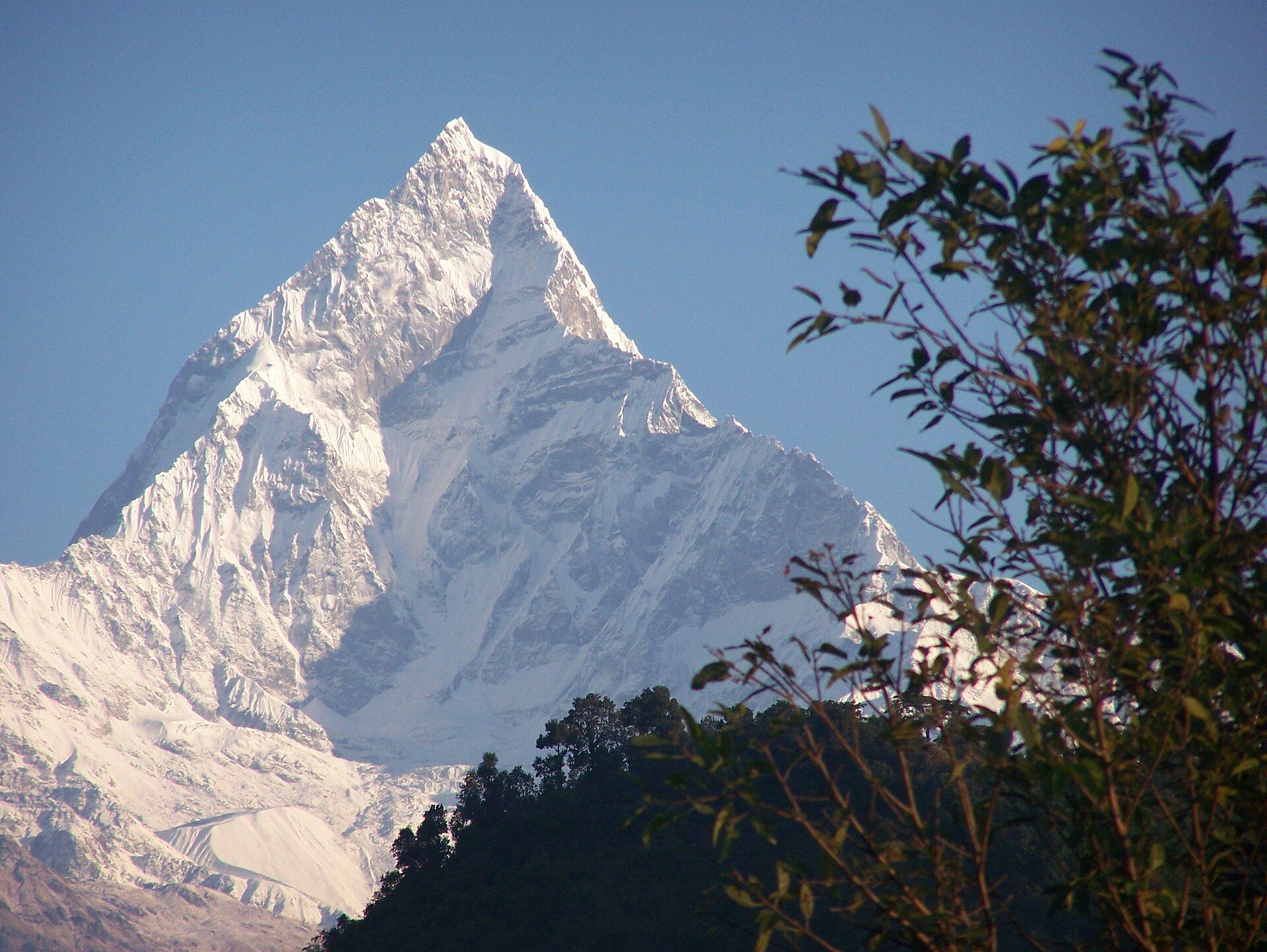
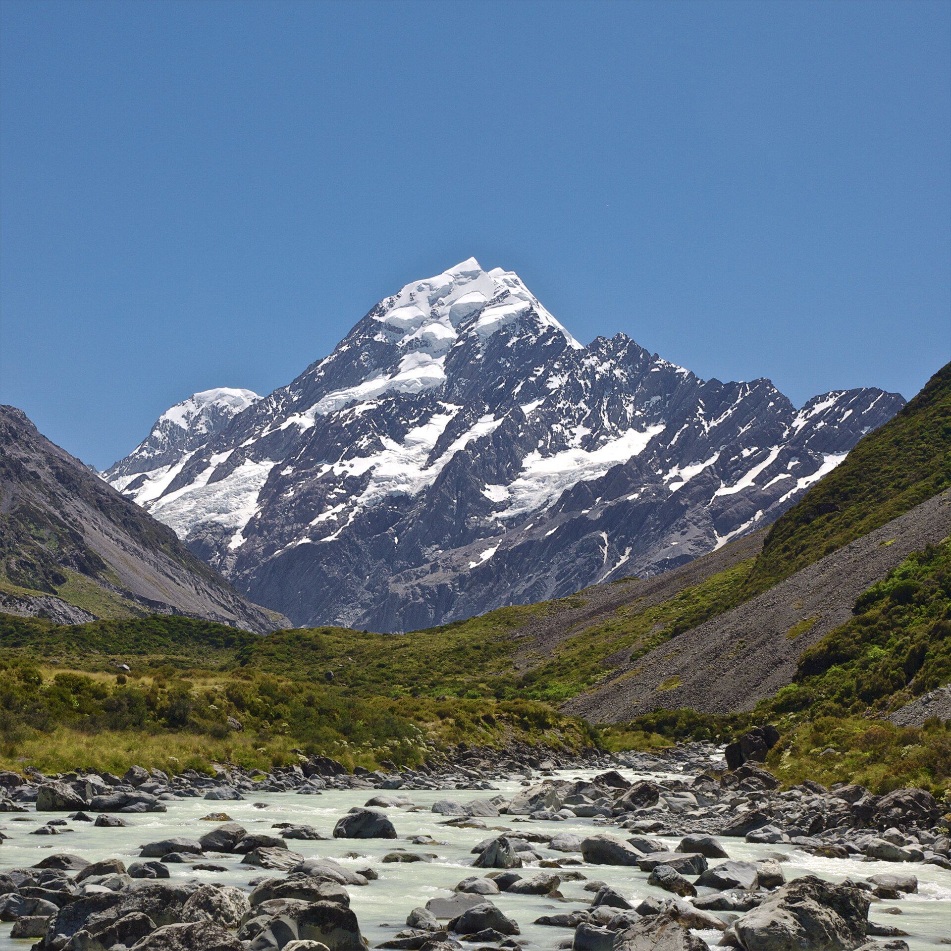
A green, misty mountain range in Saudi Arabia's southwest — terraced highlands and juniper forests, cooled by monsoon cloud, that overturn every expectation of the desert kingdom.
What makes it marvelous
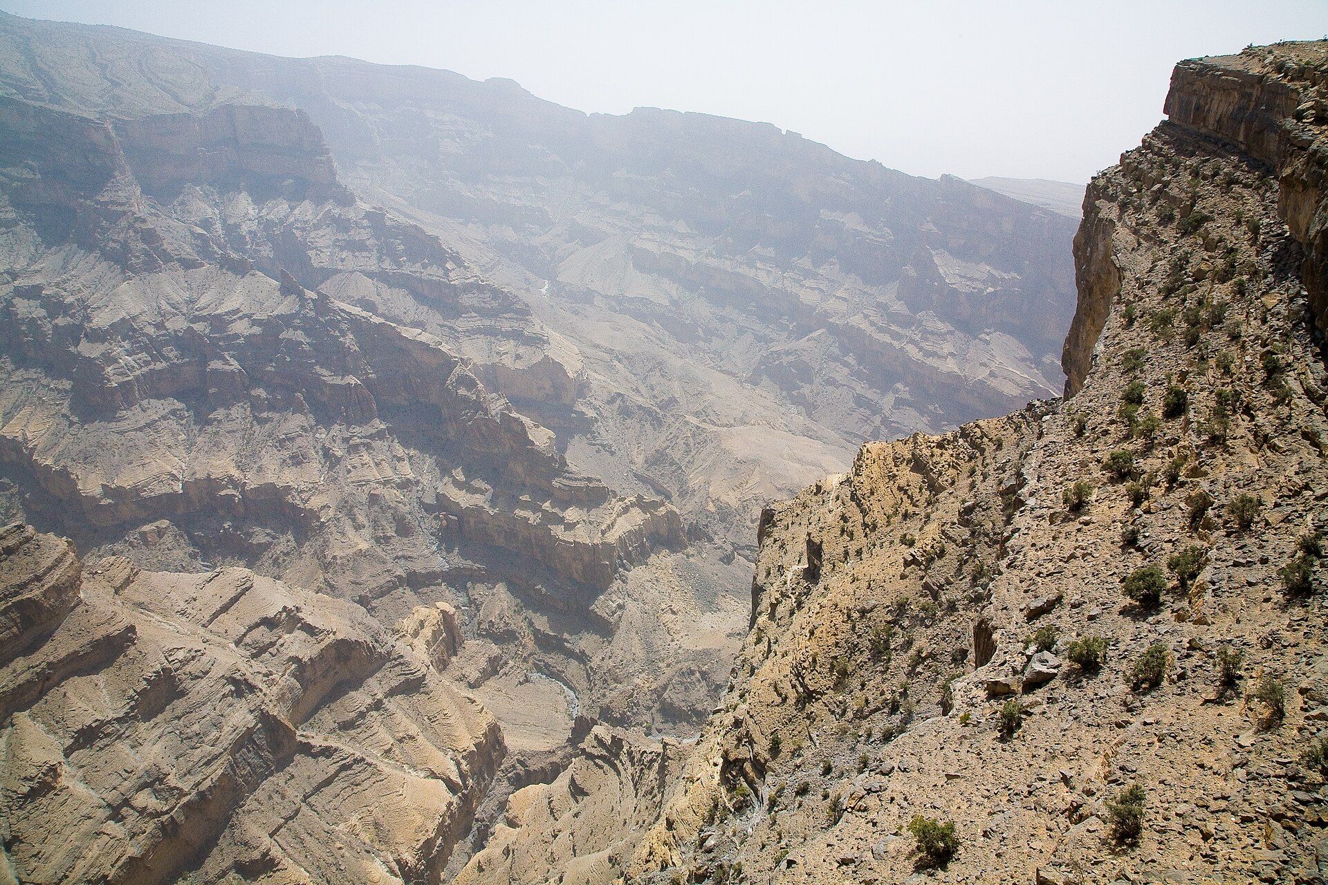
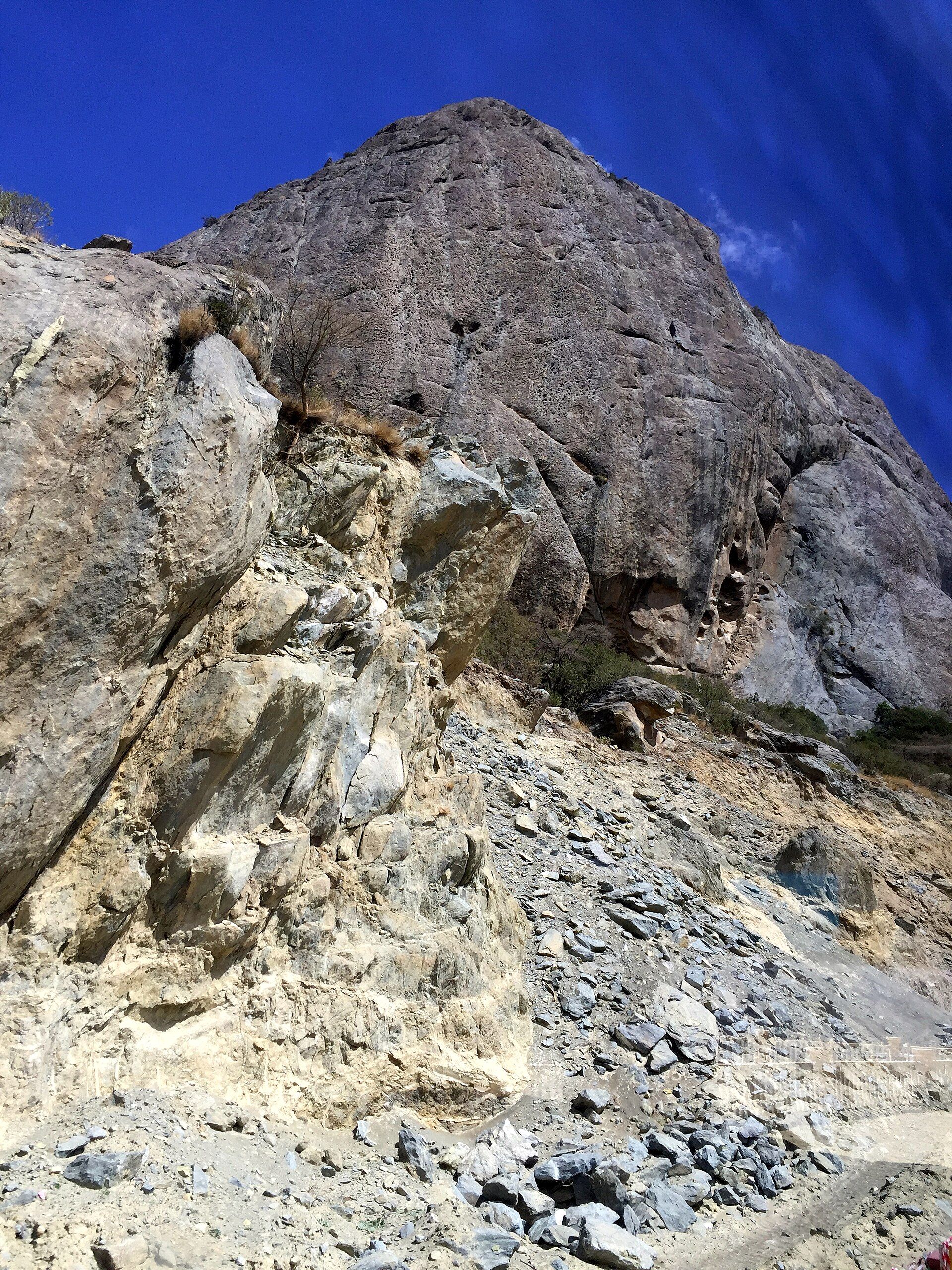
The Asir Mountains rise along Saudi Arabia's southwestern edge, high enough — over 3,000 metres — to catch moisture from the Indian Ocean monsoon that never reaches the rest of the country. The result is astonishing for Arabia: green terraced slopes, juniper woodland, wildflowers, and frequent mist, plunging in escarpments toward the Red Sea coast. Villages here farm the highlands in stone terraces, and the range shelters wildlife, including the rare Arabian leopard's former haunts, found almost nowhere else in the kingdom.
Why visit
Asir is the Saudi Arabia few expect — cool, cloud-wrapped, and green. Highland Abha and the escarpment viewpoints look out over terraced valleys and seas of cloud; the extraordinary hanging village of Habala clings to a cliff once reached only by rope; and Asir National Park protects juniper forests alive with baboons and birds. It is a mountain escape from the desert heat, rich in a distinctive highland culture.
What to know before you go
🗓️ Best time
Pleasant much of the year thanks to the altitude; the monsoon-influenced summer (roughly June–September) brings the greenest, mistiest highlands, while winters are cool and clear.
🧭 Getting there & access
Centred on the highland city of Abha in Asir Province, which has its own airport with flights from Riyadh and Jeddah. Roads and cable cars link the viewpoints, national park, and villages across the range.
Good to know
- Base in Abha and drive the escarpment viewpoints for the cloud and terrace views.
- Visit the hanging village of Habala and ride a cable car down the escarpment.
- Bring a warm layer — the highlands are genuinely cool and often misty.
Plan your visit
Easy🧭 Getting there
From Abha (AHB), Asir, Saudi Arabia
- Fly to Abha from Riyadh or Jeddah
- Road to the escarpment viewpoints and Asir National Park — under an hour
- Cable cars and roads down to villages like Habala
- Total travel
- A short flight and drive from the main Saudi cities
- Time at site
- 2–3 days for the viewpoints, park, and highland villages
- Access
- The mountains, viewpoints, and national park are generally freely accessible; cable cars and some attractions are ticketed. Roads are good but winding; highland weather can bring mist and rain.
🎒 What to bring & consider
- A warm layer for cool, misty highland weather
- A rain layer in the greener, monsoon-influenced months
- Modest clothing in keeping with local custom
- A car or driver to link the spread-out viewpoints and villages
👁️ What to expect
- Crowds
- A popular domestic summer retreat, busiest in the green season and holidays; otherwise relaxed.
- Conditions
- Cool, sometimes misty mountains with good roads and easy viewpoints; short cable-car rides.
- Facilities
- Full services in Abha; hotels, cafés, and cable cars around the range.
- The view
- Terraced green slopes and villages under rolling cloud, or the escarpment falling toward the coast. The misty summer highlands are the surprise.
Times and requirements are approximate and change with season, weather, and local rules — confirm permits, fares, and schedules with operators before you travel.
Natural riches of the area
- High monsoon-fed mountains over 3,000 m
- Terraced farmland and juniper highland forest
- Escarpments dropping toward the Red Sea coast
- Baboons, birds, and rare highland wildlife
Local food
- Asiri honey
- Prized highland honey from the mountain forests, a regional specialty.
- Kabsa
- The spiced rice-and-meat dish that anchors Saudi tables everywhere.
The Asir Mountains upend everything the name Saudi Arabia usually conjures. Along the country’s southwestern rim, the land rises above 3,000 metres — high enough to snag the edge of the Indian Ocean monsoon that never reaches the deserts to the north and east. The reward is a green, cloud-wrapped highland of terraced slopes, juniper woodland, and wildflowers, dropping in dramatic escarpments toward the Red Sea, and farmed for centuries in intricate stone terraces by a distinctive mountain culture.
Around the highland city of Abha, viewpoints look out over valleys filling with cloud, the cable car and the astonishing cliff-clinging village of Habala offer a taste of how remote these heights once were, and Asir National Park shelters juniper forests loud with baboons and birds. Cool where the rest of the country bakes, and green where it is otherwise sand and stone, Asir is the mountain face of Arabia — and one of its most surprising natural regions.
The Asir Mountains: common questions
How do you get to The Asir Mountains?
From Abha (AHB), Asir, Saudi Arabia: Fly to Abha from Riyadh or Jeddah; Road to the escarpment viewpoints and Asir National Park — under an hour; Cable cars and roads down to villages like Habala. Total travel time: A short flight and drive from the main Saudi cities.
When is the best time to visit The Asir Mountains?
Pleasant much of the year thanks to the altitude; the monsoon-influenced summer (roughly June–September) brings the greenest, mistiest highlands, while winters are cool and clear.
How long should you spend at The Asir Mountains?
2–3 days for the viewpoints, park, and highland villages. Total travel time: A short flight and drive from the main Saudi cities.
What should you bring to The Asir Mountains?
A warm layer for cool, misty highland weather A rain layer in the greener, monsoon-influenced months Modest clothing in keeping with local custom A car or driver to link the spread-out viewpoints and villages
Do you need a permit or guide for The Asir Mountains?
The mountains, viewpoints, and national park are generally freely accessible; cable cars and some attractions are ticketed. Roads are good but winding; highland weather can bring mist and rain.
Is The Asir Mountains crowded, and what are conditions like?
A popular domestic summer retreat, busiest in the green season and holidays; otherwise relaxed. Cool, sometimes misty mountains with good roads and easy viewpoints; short cable-car rides. Facilities: Full services in Abha; hotels, cafés, and cable cars around the range.
Added