Faroe Islands
📍 North Atlantic (between Iceland and Norway)
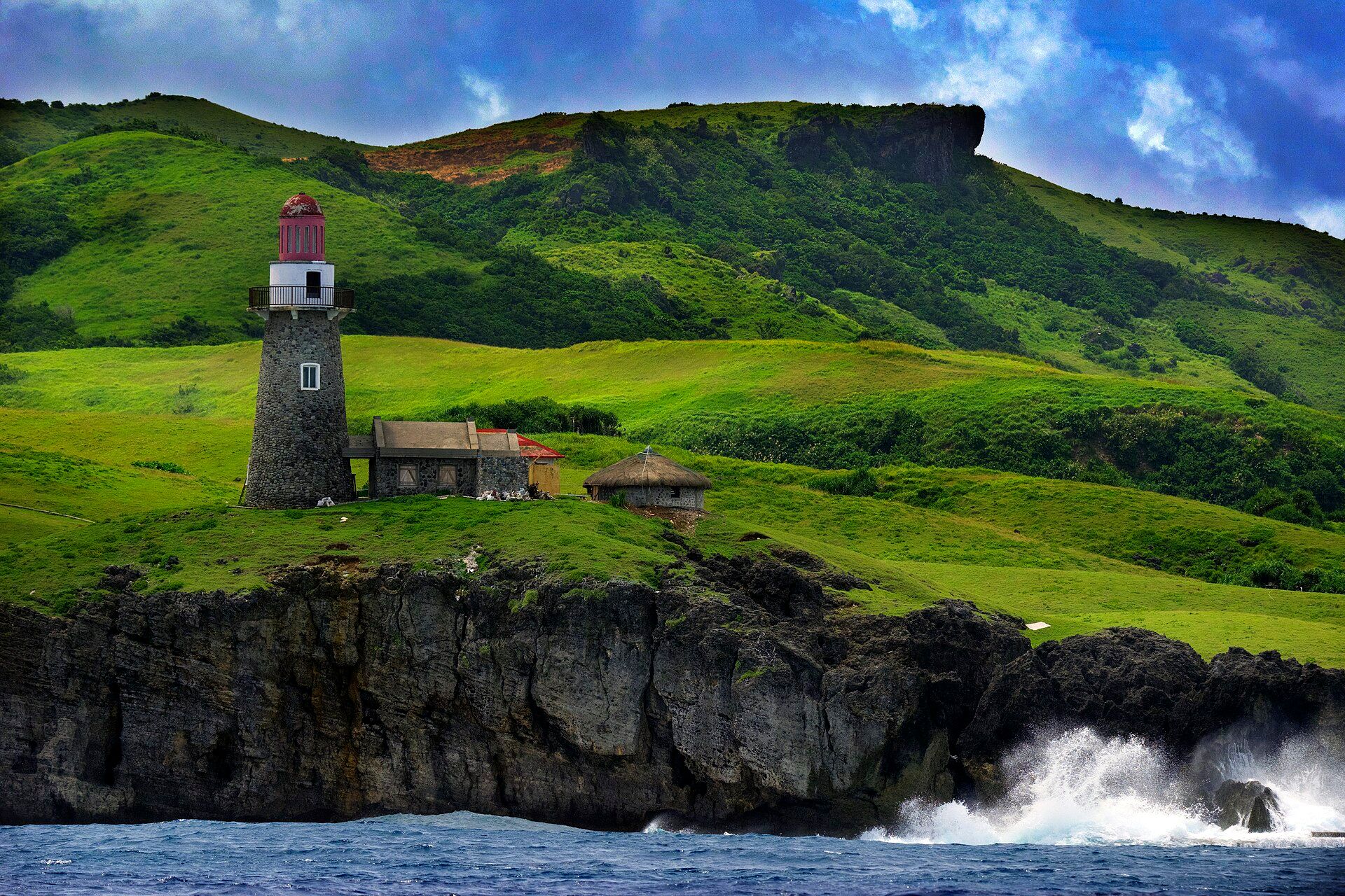
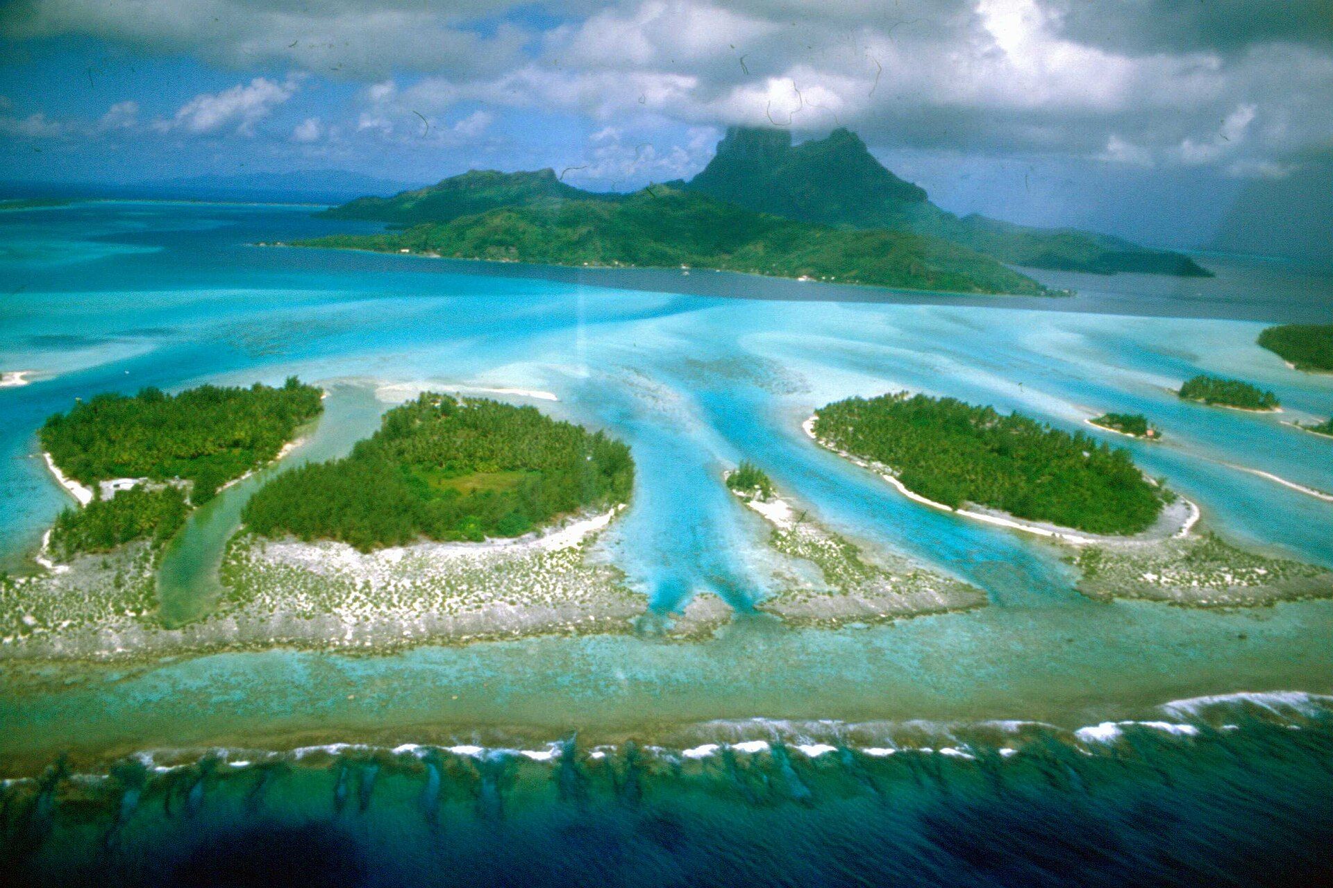
A cluster of green, wind-scoured islands rising in sheer sea cliffs from the wild North Atlantic — grass-roofed villages, cascading waterfalls, and a lake that seems to hang above the ocean.
What makes it marvelous
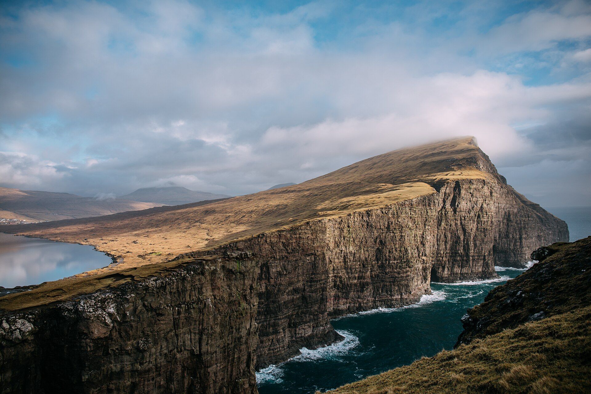
The Faroe Islands are eighteen steep, treeless islands adrift in the North Atlantic between Iceland and Norway, where cliffs of layered basalt plunge hundreds of metres straight into the sea. Carved by ancient volcanoes and Ice Age glaciers and endlessly reshaped by wind and wave, they are impossibly green — sheep graze slopes that end in dizzying drops, waterfalls pour off the tops directly into the ocean, and mist drifts across the ridges. Surreal landmarks abound: the lake Sørvágsvatn appears, from the right angle, to sit high above the sea on the edge of a cliff; the sea stacks of Drangarnir frame the horizon; and turf-roofed villages huddle in the folds of the land. Vast seabird colonies — puffins, gannets, guillemots — throng the cliffs in summer. It is one of the most dramatic and unspoiled island landscapes in Europe.
Why visit
Hiking emerald clifftops above a churning ocean, chasing waterfalls that fall into the sea, and finding grass-roofed hamlets at the end of the road make the Faroes a wild, cinematic escape unlike anywhere else in Europe.
What to know before you go
🗓️ Best time
Late spring to late summer (roughly May–August) for the mildest weather, long days, nesting puffins, and greenest landscapes; expect wind and rain in any season.
🧭 Getting there & access
An autonomous territory of Denmark, reached by air or ferry (from Denmark or Iceland); sub-sea tunnels, roads, and small ferries connect the islands, best explored by car.
Good to know
- Come May–August for the best weather, long days, and puffins.
- Pack for wind and rain year-round — Faroese weather turns fast.
- Some scenic hikes cross private land and charge a small fee; respect the rules.
Plan your visit
Moderate🧭 Getting there
From Vagar (FAE), Faroe Islands
- Fly Copenhagen or Edinburgh to Vagar — roughly 2h–2h15
- Hire car from the airport; Torshavn is about 45 minutes via the subsea tunnel
- Inter-island travel by tunnel, ferry and helicopter on a limited public schedule
- Total travel
- Half a day from Copenhagen
- Time at site
- 5–7 days, deliberately allowing for weather
- Access
- Roads and villages are open, but almost all the land is privately owned and several of the famous walks — Kallur lighthouse, Sorvagsvatn, Drangarnir — cross private farmland where the landowner charges a fee or requires a guide. Arrangements change from year to year, so check the specific hike before setting out rather than assuming a right to roam.
🎒 What to bring & consider
- Genuinely waterproof outer layers, top and bottom — horizontal rain is the normal condition, not an unlucky day
- Boots with grip for wet grass on steep slopes, which is far more slippery than rock
- Respect for unfenced cliff edges in high wind; this is the real hazard on the islands
- A flexible itinerary, because fog closes the airport and cancels ferries and helicopters routinely
- Warm layers year-round — the temperature is mild but the wind is relentless
👁️ What to expect
- Crowds
- Very few people anywhere. A handful of famous viewpoints get busy for an hour when a tour arrives, then empty.
- Conditions
- Steep wet grass, unmarked routes, sudden fog. Distances are short but the going is slow.
- Facilities
- Good in Torshavn. Elsewhere fuel and food are limited and shops keep short hours, especially on Sundays.
- The view
- Fog and low cloud are the defining feature and they close in without warning. The islands reward staying long enough for one clear hour rather than arriving for a single day.
Times and requirements are approximate and change with season, weather, and local rules — confirm permits, fares, and schedules with operators before you travel.
Natural riches of the area
- Eighteen basalt islands with sheer sea cliffs
- Waterfalls that pour directly into the ocean
- Surreal landmarks like 'the lake above the sea' and Drangarnir
- Huge summer seabird colonies, including puffins
Local food
- Lamb (skerpikjøt)
- Wind-dried Faroese lamb, a distinctive island specialty.
- Fresh and fermented fish
- Cod, salmon, and traditionally fermented fish from the surrounding seas.
- New Nordic cuisine
- The Faroes have a celebrated fine-dining scene built on local ingredients.
The Faroe Islands rise green and wild from the North Atlantic, eighteen steep, treeless islands where cliffs of layered basalt plunge hundreds of metres straight into the sea. Carved by ancient volcanoes and glaciers and endlessly reworked by wind and wave, they are impossibly emerald — sheep graze slopes that end in sheer drops, waterfalls pour off the tops directly into the ocean, and mist drifts across the ridgelines.
Surreal sights are everywhere: the lake Sørvágsvatn that seems, from the right angle, to hang high above the sea; the sea stacks of Drangarnir framing the horizon; grass-roofed villages tucked into folds of the land at the end of winding roads. In summer, cliffs throng with puffins and other seabirds. Remote, weather-lashed, and almost cinematically dramatic, the Faroes are one of the most unspoiled and spectacular island landscapes in all of Europe.
Faroe Islands: common questions
How do you get to Faroe Islands?
From Vagar (FAE), Faroe Islands: Fly Copenhagen or Edinburgh to Vagar — roughly 2h–2h15; Hire car from the airport; Torshavn is about 45 minutes via the subsea tunnel; Inter-island travel by tunnel, ferry and helicopter on a limited public schedule. Total travel time: Half a day from Copenhagen.
When is the best time to visit Faroe Islands?
Late spring to late summer (roughly May–August) for the mildest weather, long days, nesting puffins, and greenest landscapes; expect wind and rain in any season.
How long should you spend at Faroe Islands?
5–7 days, deliberately allowing for weather. Total travel time: Half a day from Copenhagen.
What should you bring to Faroe Islands?
Genuinely waterproof outer layers, top and bottom — horizontal rain is the normal condition, not an unlucky day Boots with grip for wet grass on steep slopes, which is far more slippery than rock Respect for unfenced cliff edges in high wind; this is the real hazard on the islands A flexible itinerary, because fog closes the airport and cancels ferries and helicopters routinely Warm layers year-round — the temperature is mild but the wind is relentless
Do you need a permit or guide for Faroe Islands?
Roads and villages are open, but almost all the land is privately owned and several of the famous walks — Kallur lighthouse, Sorvagsvatn, Drangarnir — cross private farmland where the landowner charges a fee or requires a guide. Arrangements change from year to year, so check the specific hike before setting out rather than assuming a right to roam.
Is Faroe Islands crowded, and what are conditions like?
Very few people anywhere. A handful of famous viewpoints get busy for an hour when a tour arrives, then empty. Steep wet grass, unmarked routes, sudden fog. Distances are short but the going is slow. Facilities: Good in Torshavn. Elsewhere fuel and food are limited and shops keep short hours, especially on Sundays.
Added
More wonders to explore