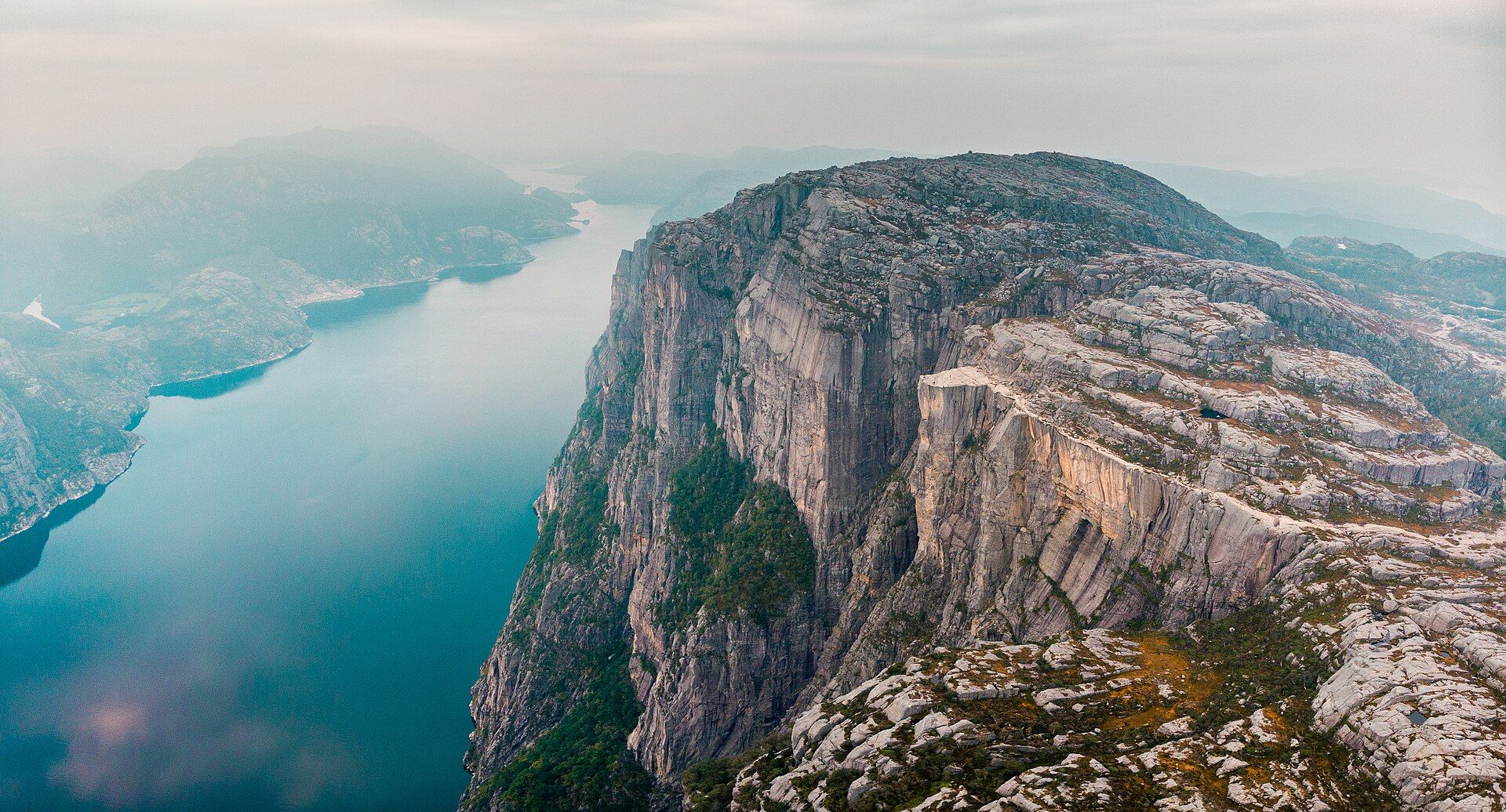
Cliffs of Moher
📍 County Clare, western Ireland
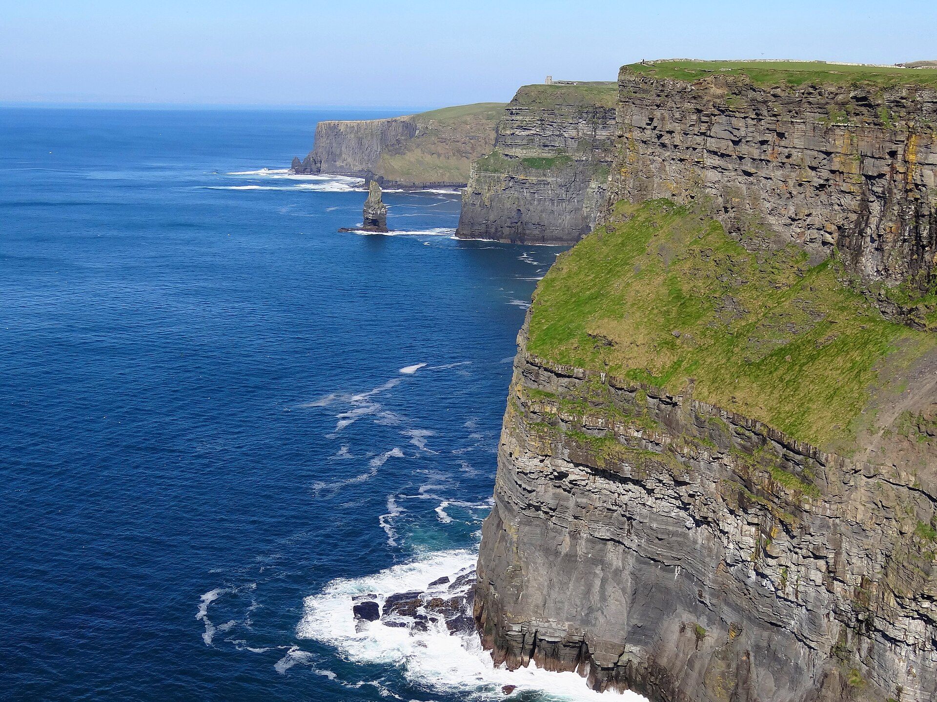
A wall of sheer sea cliffs rising up to 214 metres straight from the wild Atlantic on Ireland's west coast — layered in ancient rock, alive with seabirds, and often wreathed in Atlantic mist and spray.
What makes it marvelous
The cliffs expose some 300-million-year-old sedimentary rock — layers of sandstone, siltstone, and shale laid down by an ancient river delta, now standing on end at the edge of the sea. Reaching up to 214 metres at their highest near O'Brien's Tower, they run for about 14 kilometres, hammered by Atlantic swells. The ledges host major seabird colonies, including puffins, razorbills, and guillemots, and the whole coast forms part of a UNESCO Global Geopark.
Why visit
Standing at the cliff edge with the Atlantic booming far below, gulls and puffins wheeling on the wind, and the coast stretching to the horizon, is one of Ireland's most stirring experiences — raw, elemental, and often dramatically moody with weather.
What to know before you go
🗓️ Best time
Late spring to early autumn (roughly April–September) for milder weather and nesting seabirds (puffins are usually present spring to midsummer); the cliffs are spectacular in any weather.
🧭 Getting there & access
In County Clare on Ireland's west coast, along the Wild Atlantic Way, with a visitor centre and cliff-edge paths. Boat trips view the cliffs from the sea.
Good to know
- Mind the weather and stay behind barriers — the cliff edges and winds are dangerous.
- Come in spring or early summer to see nesting puffins.
- A boat trip reveals the full height of the cliffs from below.
Plan your visit
Easy🧭 Getting there
From Ennis or Galway, Ireland
- Fly → Shannon (SNN) or Dublin, then drive west into County Clare
- Drive Ennis → the Cliffs of Moher visitor centre — roughly 45 minutes to an hour
- Walk the cliff-top path, or approach on foot from Doolin or Liscannor
- Total travel
- Under an hour from Ennis
- Time at site
- Two to three hours, more for the coastal walk
- Access
- The main visitor centre charges for parking and entry, with the fee lower if you book online ahead, and it gives you the safe railed viewpoints and O'Brien's Tower. Beyond the walled area the cliff-top trail runs for miles toward Hag's Head and Doolin with long unfenced stretches — and people have died here going past the barriers for a photograph on wet, wind-battered ground above a 200-metre drop. The wind is the real hazard, strong enough to knock you off balance at the edge, and sea fog can erase the view entirely.
🎒 What to bring & consider
- The plain discipline to stay well back from unfenced edges, which is the single thing that turns a safe walk here into a fatal one in wind or wet grass
- A proper windproof and waterproof, since the cliffs are fully exposed and the Atlantic wind is relentless
- Sturdy shoes for a grassy, muddy and uneven coastal path once you leave the paved centre
- A check of the forecast for fog, which regularly hides the cliffs completely and turns the trail dangerous
- Booked-ahead parking in summer, when the car park fills and the fee is cheaper online
👁️ What to expect
- Crowds
- Heavy around the visitor centre and O'Brien's Tower. The trail thins quickly as you walk away from it.
- Conditions
- Windy, often wet, sometimes fogged in. Easy walking on the paved section, rougher on the coast path.
- Facilities
- Full at the visitor centre — café, exhibition, toilets. Nothing along the longer trail.
- The view
- The cliff wall curving away with O'Brien's Tower on the headland, best in the low light of late afternoon and evening. Puffins nest on the sea stacks in spring and summer for those with a long lens.
Times and requirements are approximate and change with season, weather, and local rules — confirm permits, fares, and schedules with operators before you travel.
Natural riches of the area
- 300-million-year-old layered sedimentary rock
- Major Atlantic seabird colonies (puffins, razorbills, guillemots)
- Rich cold-water marine life along the coast
- Part of a UNESCO Global Geopark (the Burren coast)
Local food
- Irish seafood chowder
- A creamy soup of local fish and shellfish with soda bread.
- Atlantic oysters & mussels
- Shellfish from the cold, clean waters of Ireland's west coast.
- Soda bread & Irish stew
- Traditional bread and a hearty lamb-and-root-vegetable stew.
The Cliffs of Moher are the edge of Ireland made dramatic. For about 14 kilometres along the coast of County Clare, layered rock rises straight from the Atlantic in a sheer wall up to 214 metres high — sandstone, siltstone, and shale laid down by a river delta some 300 million years ago, now standing on end where the ocean gnaws at their base. On a wild day the swell booms far below and the wind tears at the cliff-top path; on a calm one, the coastline runs clear to the horizon.
The ledges are anything but empty. They shelter some of Ireland’s most important seabird colonies — puffins, razorbills, guillemots, and more — wheeling out over the water and nesting on the sheer faces. Part of a UNESCO Global Geopark, the cliffs are a highlight of the Wild Atlantic Way and one of those places where the meeting of land and sea feels genuinely elemental. Just respect the edge: the beauty here is matched by the drop.
Cliffs of Moher: common questions
How do you get to Cliffs of Moher?
From Ennis or Galway, Ireland: Fly → Shannon (SNN) or Dublin, then drive west into County Clare; Drive Ennis → the Cliffs of Moher visitor centre — roughly 45 minutes to an hour; Walk the cliff-top path, or approach on foot from Doolin or Liscannor. Total travel time: Under an hour from Ennis.
When is the best time to visit Cliffs of Moher?
Late spring to early autumn (roughly April–September) for milder weather and nesting seabirds (puffins are usually present spring to midsummer); the cliffs are spectacular in any weather.
How long should you spend at Cliffs of Moher?
Two to three hours, more for the coastal walk. Total travel time: Under an hour from Ennis.
What should you bring to Cliffs of Moher?
The plain discipline to stay well back from unfenced edges, which is the single thing that turns a safe walk here into a fatal one in wind or wet grass A proper windproof and waterproof, since the cliffs are fully exposed and the Atlantic wind is relentless Sturdy shoes for a grassy, muddy and uneven coastal path once you leave the paved centre A check of the forecast for fog, which regularly hides the cliffs completely and turns the trail dangerous Booked-ahead parking in summer, when the car park fills and the fee is cheaper online
Do you need a permit or guide for Cliffs of Moher?
The main visitor centre charges for parking and entry, with the fee lower if you book online ahead, and it gives you the safe railed viewpoints and O'Brien's Tower. Beyond the walled area the cliff-top trail runs for miles toward Hag's Head and Doolin with long unfenced stretches — and people have died here going past the barriers for a photograph on wet, wind-battered ground above a 200-metre drop. The wind is the real hazard, strong enough to knock you off balance at the edge, and sea fog can erase the view entirely.
Is Cliffs of Moher crowded, and what are conditions like?
Heavy around the visitor centre and O'Brien's Tower. The trail thins quickly as you walk away from it. Windy, often wet, sometimes fogged in. Easy walking on the paved section, rougher on the coast path. Facilities: Full at the visitor centre — café, exhibition, toilets. Nothing along the longer trail.
Added Updated
More wonders to explore