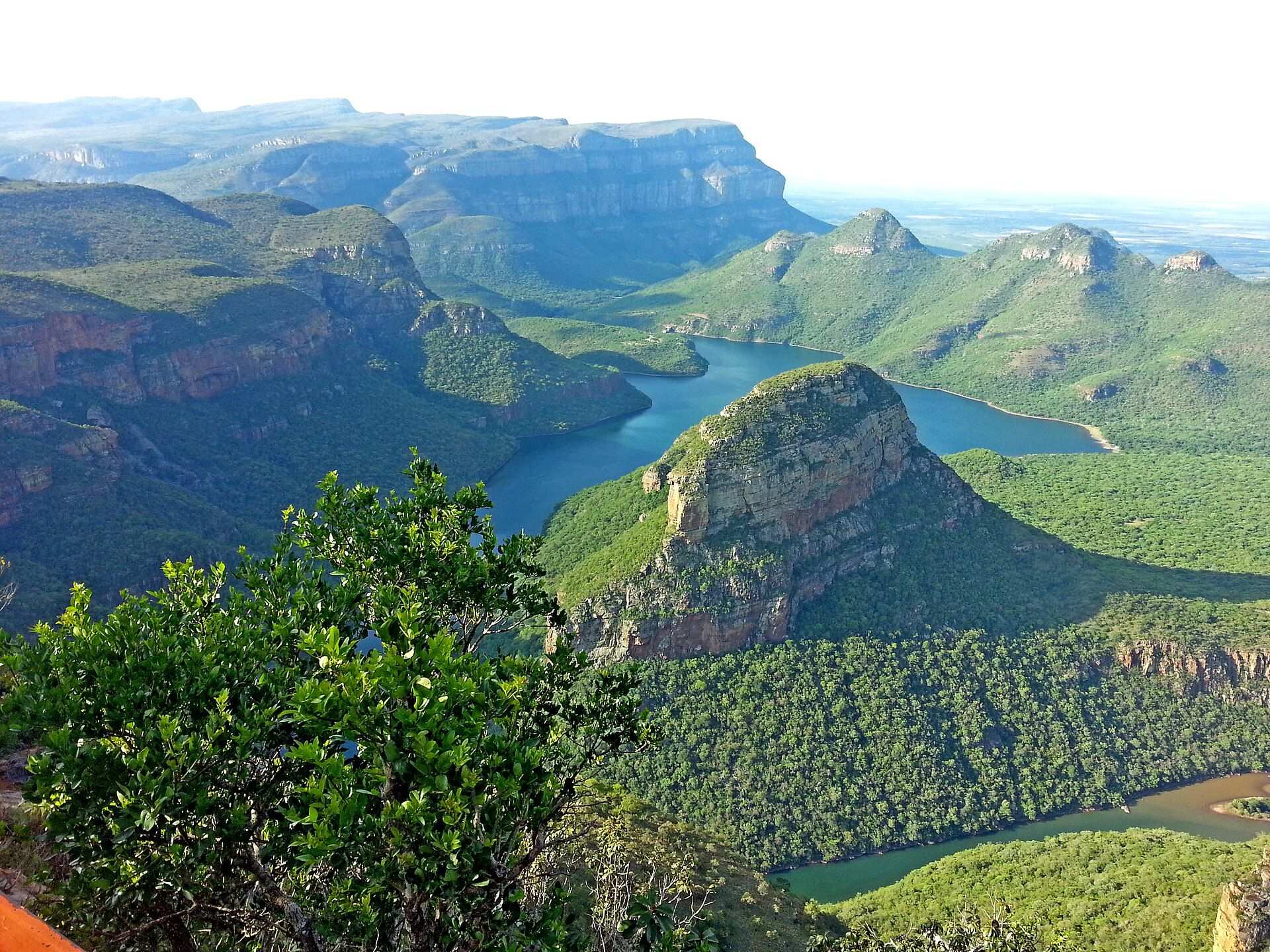
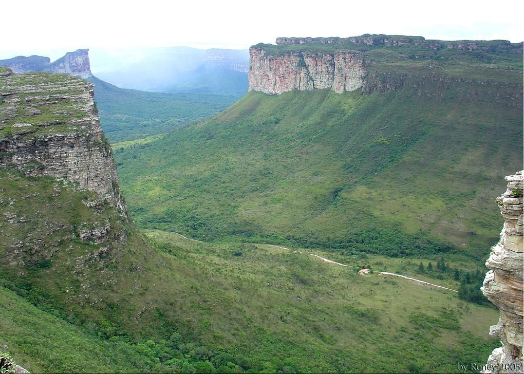
Dana Biosphere Reserve
📍 Tafilah Governorate, along the Great Rift Valley, Jordan
Jordan's largest nature reserve — a sweep of mountain ridges and sandstone canyons tumbling from a 1,500-metre plateau down to the desert of Wadi Araba, spanning several bioclimatic zones in a single dramatic descent.
What makes it marvelous
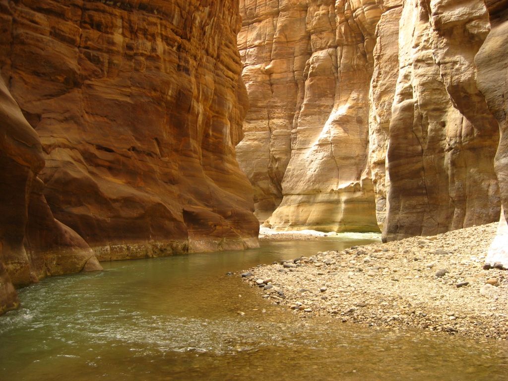
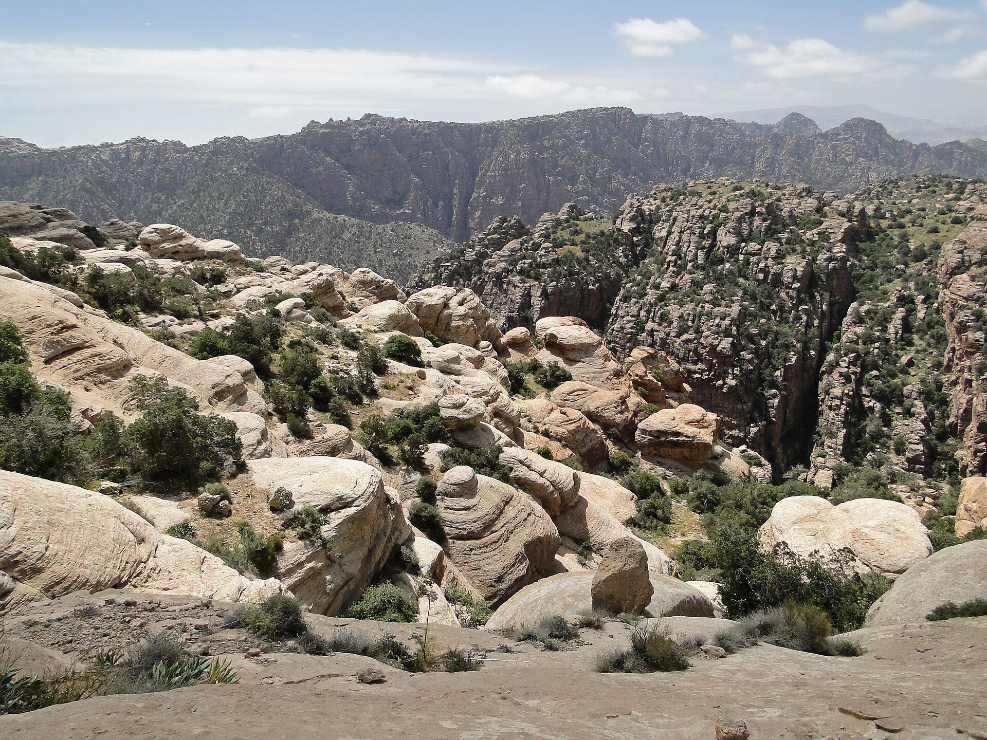
Dana is a landscape in freefall, dropping in a series of rocky ridges and wadis from cool highlands around 1,500 metres to the hot desert plains of Wadi Araba far below. That vertical range packs three of Jordan's major biogeographic zones — Mediterranean, Irano-Turanian and Sudanian — into one reserve of roughly 300 square kilometres, so a single day's walk crosses juniper woodland, sandstone gorge and open desert. Established in 1989 and run by the Royal Society for the Conservation of Nature, it protects hundreds of plant species and rare wildlife including the Nubian ibex, sand cat, Syrian serin and Blanford's fox, and its coloured sandstone cliffs glow through the changing light of the day.
Why visit
The classic experience is the Wadi Dana trail, a 14-kilometre descent from the stone village of Dana — perched on the rim with sweeping views — down through the canyon to the Feynan ecolodge in the desert below, a walk that carries you through the reserve's whole span of climate and colour. Dana pioneered community-based conservation in Jordan, and its village guesthouses and guides make it a model of low-impact travel as much as a place of striking beauty.
More views of Dana Biosphere Reserve
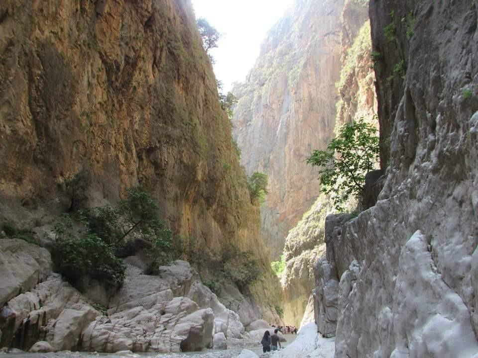
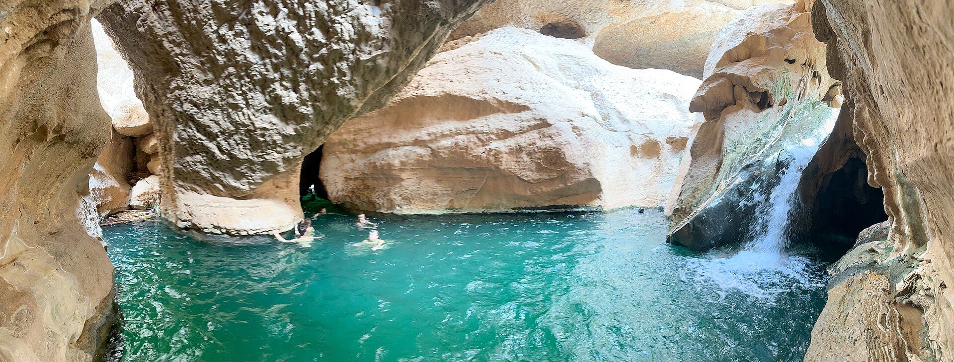
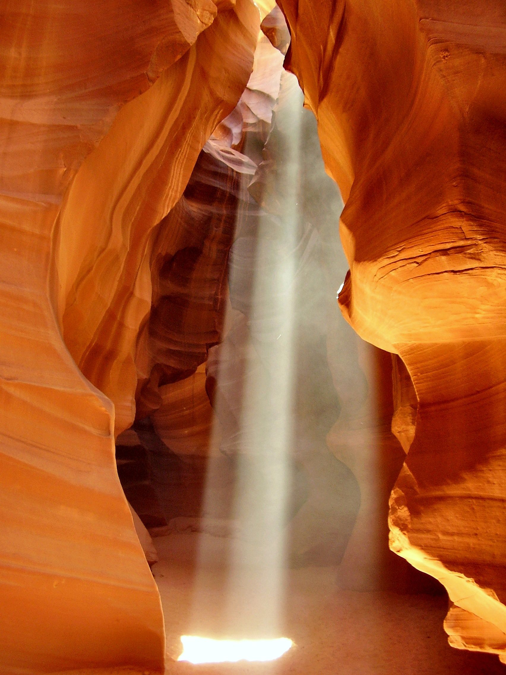
Additional photographs of the actual site — each freely licensed, with its photographer and licence credited.
What to know before you go
🗓️ Best time
Spring (March to May) and autumn (September to November) are ideal, with mild days and wildflowers or clear light; summer is very hot in the lower canyon and winter cold and wet on the plateau.
🧭 Getting there & access
The reserve is reached from the Kings Highway at Dana village, about a three-hour drive south of Amman; trails range from short village walks to the long guided descent to Feynan.
Good to know
- The Wadi Dana trail is downhill to Feynan but long and exposed — carry plenty of water and start early.
- Getting back up from Feynan usually means a pre-arranged vehicle transfer; plan logistics before you set off.
- Stay in Dana village or the Feynan ecolodge to support the reserve's community conservation model.
Plan your visit
Moderate🧭 Getting there
From Amman (airport AMM), via the Kings Highway
- Drive from Amman south on the Kings Highway to Dana village — about 3 hours
- Walk the Wadi Dana trail down to Feynan, or take shorter loops from the village
- Total travel
- About 3 hours from Amman to Dana village
- Time at site
- A day for the Wadi Dana descent; two or more to explore fully
- Access
- The reserve is open with an entrance fee; the long descent to Feynan is best done with a guide and a booked vehicle transfer back.
🎒 What to bring & consider
- Two to three litres of water for the exposed descent
- Sun protection, hat and sturdy walking shoes
- A pre-arranged pickup or transfer if walking to Feynan
- Warm layers for cold plateau nights
👁️ What to expect
- Crowds
- Quiet and low-key, especially away from the village viewpoint.
- Conditions
- Long, hot, downhill desert-canyon walking; cooler and cultivated up on the rim.
- Facilities
- Village guesthouses and a visitor centre at Dana; the Feynan ecolodge below.
- The view
- The layered ridges of the reserve dropping toward Wadi Araba, glowing at sunset from the Dana rim.
Times and requirements are approximate and change with season, weather, and local rules — confirm permits, fares, and schedules with operators before you travel.
Natural riches of the area
- A rift-valley descent spanning Mediterranean, Irano-Turanian and Sudanian zones
- Coloured sandstone canyons and cliffs above Wadi Araba
- Hundreds of plant species across a 1,500-metre range of altitude
- Nubian ibex, sand cat, Blanford's fox and the rare Syrian serin
Local food
- Maqluba
- An upside-down pot of rice, meat and fried vegetables, turned out to serve.
- Za'atar and olive oil
- The wild-thyme blend eaten with fresh bread across the highlands.
- Sage tea
- Black tea steeped with local sage, poured strong and sweet.
Dana Biosphere Reserve is Jordan’s largest, and one of its most spectacular — a landscape that seems to be falling away beneath your feet. From the stone village of Dana, clinging to the rim at around 1,500 metres, the reserve tumbles in a series of rocky ridges and sandstone canyons all the way down to the hot desert plains of Wadi Araba, part of the Great Rift Valley.
That enormous drop is what makes Dana extraordinary. In the space of a single reserve it crosses three of Jordan’s major biogeographic zones — Mediterranean, Irano-Turanian and Sudanian — so a day’s walk can lead from juniper-dotted highland through coloured sandstone gorges to open desert. Established in 1989 and run by the Royal Society for the Conservation of Nature, it shelters hundreds of plant species and rare animals including the Nubian ibex, sand cat and Blanford’s fox.
The signature journey is the Wadi Dana trail, a 14-kilometre descent from village to the desert-floor Feynan ecolodge, passing through the reserve’s whole range of climate and colour. Dana also pioneered community-based conservation in Jordan, its village guesthouses and local guides turning protection into livelihood — a place as notable for how it is cared for as for how it looks.
Dana Biosphere Reserve: common questions
How do you get to Dana Biosphere Reserve?
From Amman (airport AMM), via the Kings Highway: Drive from Amman south on the Kings Highway to Dana village — about 3 hours; Walk the Wadi Dana trail down to Feynan, or take shorter loops from the village. Total travel time: About 3 hours from Amman to Dana village.
When is the best time to visit Dana Biosphere Reserve?
Spring (March to May) and autumn (September to November) are ideal, with mild days and wildflowers or clear light; summer is very hot in the lower canyon and winter cold and wet on the plateau.
How long should you spend at Dana Biosphere Reserve?
A day for the Wadi Dana descent; two or more to explore fully. Total travel time: About 3 hours from Amman to Dana village.
What should you bring to Dana Biosphere Reserve?
Two to three litres of water for the exposed descent Sun protection, hat and sturdy walking shoes A pre-arranged pickup or transfer if walking to Feynan Warm layers for cold plateau nights
Do you need a permit or guide for Dana Biosphere Reserve?
The reserve is open with an entrance fee; the long descent to Feynan is best done with a guide and a booked vehicle transfer back.
Is Dana Biosphere Reserve crowded, and what are conditions like?
Quiet and low-key, especially away from the village viewpoint. Long, hot, downhill desert-canyon walking; cooler and cultivated up on the rim. Facilities: Village guesthouses and a visitor centre at Dana; the Feynan ecolodge below.
Added
More wonders to explore