Head to head · The two volcanoes on Portland's doorstep
Mount Hood vs Mount St. Helens: Which Volcano Should You Visit From Portland?
Short answer: go to Mount Hood for a classic mountain — 11,239 ft, 11 glaciers, Timberline Lodge and a 38-mile trail around it. Go to Mount St. Helens to see what an eruption does: the 1980 debris avalanche and lateral blast left an open crater, a lava dome and a blast zone still recovering. Both are active Cascade volcanoes close to Portland — St. Helens is about 70 miles north.
They are built differently, too. The USGS notes that Hood, unlike its neighbour to the north, has no history of violent explosive eruptions: it grows and sheds lava domes. St. Helens is the Cascades' modern example of a volcano blowing apart.
Mount Hood
Oregon's highest peak, still steaming
Mount Hood stands 11,239 ft (3,426 m), the highest point in Oregon, with 11 active glaciers. Fumaroles near Crater Rock still vent sulfurous steam; its last major eruption, in the 1790s, grew and collapsed a lava dome. It sits in Mt. Hood National Forest close to Portland, with the 38-mile Timberline Trail around it and Timberline Lodge on its south slope.
- A full glaciated mountain, with Timberline Lodge — a National Historic Landmark — on its slope
- The 38-mile Timberline Trail through alpine meadows
- A climbing season that starts in late spring
Mount St. Helens
The volcano that blew open in 1980
On 18 May 1980 the largest debris avalanche in recorded history tore off Mount St. Helens' summit and a lateral blast flattened forests up to 19 miles away. It now stands 8,330 ft (2,539 m), with a 2 × 3.5 km crater open to the north and a lava dome inside. It is a 110,000-acre national volcanic monument managed by the Forest Service.
- Looking into an open crater and across a blast zone still visibly recovering
- A summer permit climb to the crater rim
- The clearest place in the US to see the scale of a modern eruption
Head to head
| What matters | Mount Hood | Mount St. Helens |
|---|---|---|
| Height Edge: Mount Hood | 11,239 ft (3,426 m), Oregon's highest point. | 8,330 ft (2,539 m) by a 2009 lidar survey — about 1,300 ft lower than before 1980. |
| Eruption style Edge: Toss-up | Lava flows and lava domes that collapse into pyroclastic flows; no history of violent explosive eruptions. Last major eruption in the 1790s; fumaroles still steam near Crater Rock. | Blew apart in 1980 — debris avalanche plus lateral blast — and erupted again from 2004 to 2008, growing a new lava dome. |
| What you see Edge: Toss-up | A snow- and glacier-covered peak above forest, meadows and alpine lakes. | A horseshoe crater, a lava dome, the hummocky debris of the Toutle valley and a recovering blast zone. |
| Getting there Edge: Toss-up | Mt. Hood National Forest, close to the Portland metro area, Hood River and The Dalles; trailheads include Timberline Lodge. | About 70 miles north of Portland. The north side is reached on State Route 504 from Castle Rock on Interstate 5. |
| Access right now Edge: Mount Hood | A national forest with winter sno-parks: an Oregon Sno-Park permit is required 1 November–30 April, including all Timberline parking lots; some trailheads charge a day-use fee. | A 2023 landslide destroyed the Spirit Lake Outlet Bridge and cut upper SR 504, closing Johnston Ridge Observatory; WSDOT expected the new bridge in fall 2026, after which the observatory needs restoring. Coldwater Lake and the Hummocks Trail stayed open — check WSDOT and the Forest Service. |
| Climbing the summit Edge: Mount St. Helens | A Mt. Hood Climbing Permit is required above 9,500 ft, and every route is technical — crevasses, rockfall, ropes and crampons. | A climbing permit is required above 4,800 ft; the crater-rim climb is done in summer, when the route is free of snow, without glacier travel. |
| Season Edge: Toss-up | Hiking once snowmelt creeks drop (they are dangerous to ford in early to mid-summer); climbs mostly in late spring and early summer. | The monument operates from mid-May through October; most trails are open June to October. |
Which should you choose?
Choose Mount Hood if…
…you want a glaciated mountain with a lodge, a long trail around it, or a guided technical first summit.
Choose Mount St. Helens if…
…you want to see a modern eruption's aftermath up close, or a summit climb without glacier travel.
The honest verdict
For scenery and things to do all year, Mount Hood wins: it is the bigger, icier mountain, close to Portland, with Timberline Lodge and the Timberline Trail.
For the story, choose Mount St. Helens — nowhere else in the US shows a modern eruption so plainly. Before you drive, check whether Johnston Ridge has reopened; until it does, north-side views stop at Coldwater Lake.
Neither summit is casual. Hood is technical on every route and needs a permit above 9,500 ft; St. Helens needs a permit above 4,800 ft and a summer weather window.
Wonders mentioned here
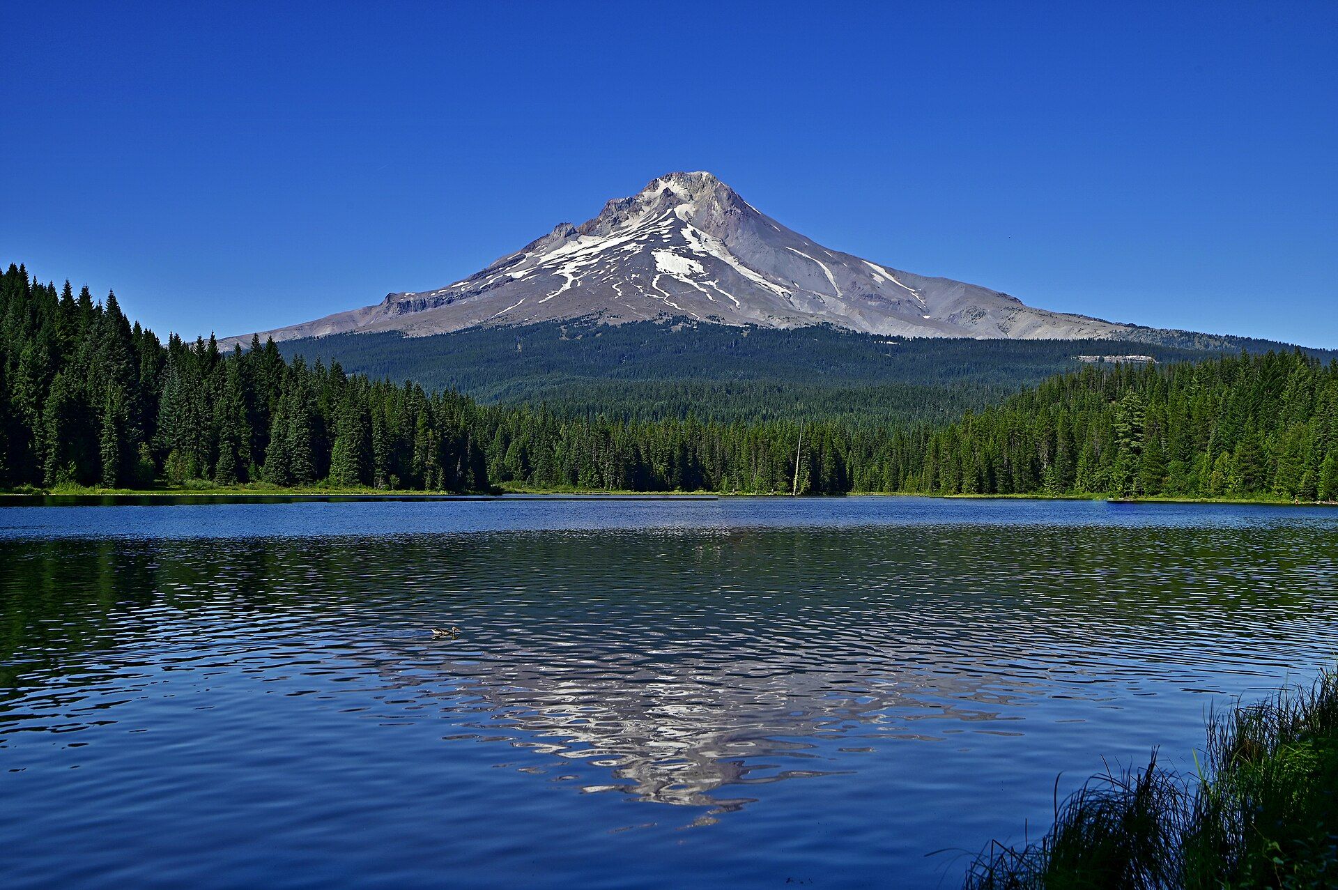
Mount Hood
Northern Oregon Cascades, USA, within Mt. Hood National Forest, east of the Portland metro area
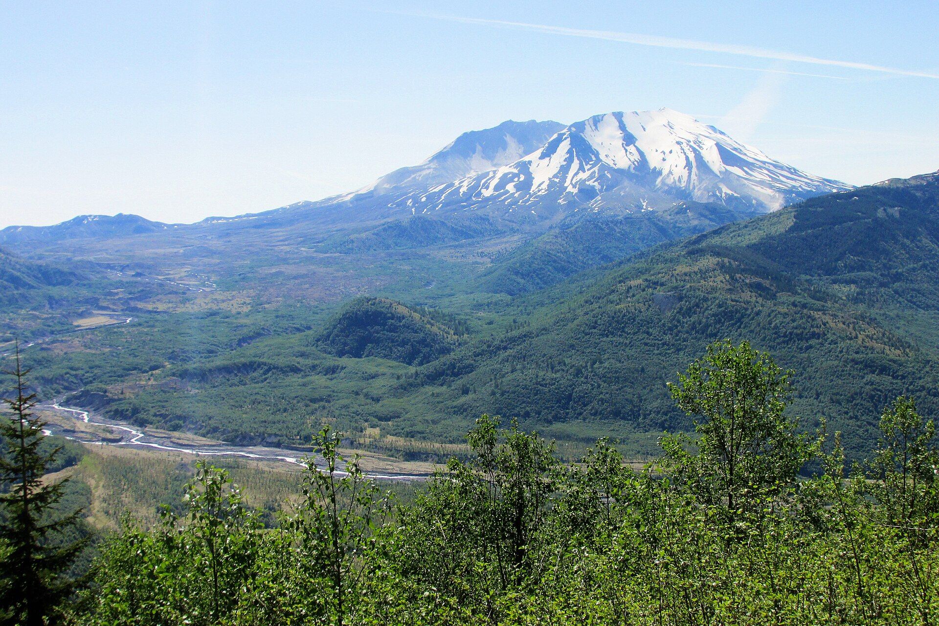
Mount St. Helens
Cascade Range, south-west Washington, USA, about 70 miles north of Portland, Oregon
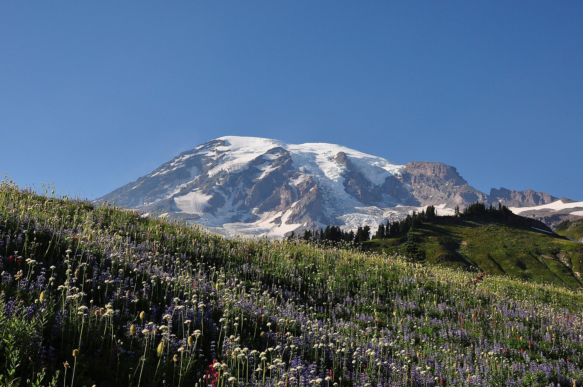
Mount Rainier
Cascade Range, western Washington, USA, about 65 miles southeast of the Seattle–Tacoma area
Added