Head to head · Oregon's highest peak vs Washington's glacier giant
Mount Hood vs Mount Rainier: Which Cascade Volcano Should You Visit?
Short answer: Mount Rainier is the bigger, icier mountain — 14,410 ft with 28 named glaciers, inside a national park with meadow trails at Paradise and Sunrise. Mount Hood is 11,239 ft with 11 glaciers, inside a national forest close to Portland, with the historic Timberline Lodge on its south slope. Both are active volcanoes, and both have a classic trail all the way around.
The choice usually comes down to where you are based and what you want to do on the mountain. Rainier is the classic alpine view and a national-park day out. Hood is the Portland mountain: a lodge, a 38-mile loop and a summit climb that the Forest Service still rates as technical on every route.
Mount Hood
Oregon's highest peak, still steaming
Mount Hood stands 11,239 ft (3,426 m), the highest point in Oregon, with 11 active glaciers. Fumaroles near Crater Rock still vent sulfurous steam, and its last major eruption, in the 1790s, built the dome whose remnant Crater Rock is. It sits in Mt. Hood National Forest near Portland; the top several thousand feet are the Mount Hood Wilderness, ringed by the 38-mile Timberline Trail.
- Close to Portland, with Timberline Lodge — a National Historic Landmark — on the mountain
- The 38-mile Timberline Trail through alpine meadows and across glacial creeks
- Steam vents near the summit: a volcano that visibly isn't finished
Mount Rainier
A glacier-hung giant above wildflower meadows
Mount Rainier rises to 14,410 ft (4,392 m), 9,000 to 11,000 ft above valley floors only a few miles from its base. Twenty-eight named glaciers cover about 35 square miles of its flanks. The National Park Service calls it the most hazardous volcano in the Cascade Range. It has been a national park since 1899, and most visitors come for the meadow trails at Paradise and Sunrise.
- One of the great mountain views in North America, from Paradise or Sunrise
- Subalpine wildflower meadows in mid- to late summer
- The 93-mile Wonderland Trail around the whole mountain
Head to head
| What matters | Mount Hood | Mount Rainier |
|---|---|---|
| Height Edge: Mount Rainier | 11,239 ft (3,426 m) — Oregon's highest point (the USGS figure quoted by the Forest Service). | 14,410 ft (4,392 m), rising 9,000 to 11,000 ft above valley floors only three to six miles from its base. |
| Glaciers Edge: Mount Rainier | 11 active glaciers. | 28 named glaciers covering about 35 square miles. |
| Volcanic activity Edge: Toss-up | Last major eruption in the 1790s; minor explosive activity was reported in the mid-1800s. Fumaroles near Crater Rock still steam, and lahars are the USGS's main concern for the valleys below. | No eruption within living memory. The National Park Service calls it the second most seismically active and the most hazardous volcano in the Cascades; about 5,600 years ago the Osceola Mudflow ran 70 to 100 km to Puget Sound. |
| Protection and fees Edge: Toss-up | National forest and wilderness (USDA Forest Service). Some trailheads charge a day-use fee; an Oregon Sno-Park permit is required 1 November–30 April, including all Timberline parking lots. | National park. An entrance pass is required, and timed-entry reservations have applied to the Paradise and Sunrise corridors in recent summers — check the National Park Service. |
| The trail around it Edge: Toss-up | Timberline Trail, 38 miles. Unbridged glacial creeks are dangerous to cross during snowmelt in early to mid-summer and after heavy rain — have a backup plan. | Wonderland Trail, 93 miles, with a wilderness permit. |
| Climbing the summit Edge: Toss-up | A Mt. Hood Climbing Permit is required above 9,500 ft, and every route is technical — crevasses, rockfall, ropes and crampons. Most south-side parties start between midnight and 2 a.m. to summit at sunrise. | A glaciated alpine ascent for experienced, equipped parties, with permits from the park's wilderness information centers. |
| Season Edge: Toss-up | Hiking once the snowmelt creeks drop; for climbs, late spring and early summer are the most popular window — late summer and fall bring heavy rockfall and exposed crevasses. | July to September for the high trails. Snow can linger at Paradise into June or July, and all roads except Nisqually–Paradise close in winter. |
| Gateway Edge: Toss-up | Close to the Portland metro area, Hood River and The Dalles. | The park's northern boundary is about 65 miles south-east of the Seattle–Tacoma area; Paradise is 19 miles beyond the Nisqually Entrance. |
Which should you choose?
Choose Mount Hood if…
…you are based in Portland, want a lodge on the mountain and a 38-mile loop, or are planning a guided first Cascade summit with the right gear.
Choose Mount Rainier if…
…you want the bigger, icier mountain, wildflower meadows at Paradise or Sunrise, or the long Wonderland Trail, and are based in Seattle.
The honest verdict
For the view, Mount Rainier wins: more height, more ice and a national park built around meadow trails that sit right under the glaciers.
For a mountain within easy reach of Portland, choose Mount Hood. Timberline Lodge, the Timberline Trail and a climbing season that starts in late spring make it the more practical Oregon trip.
Neither summit is a walk-up. Hood needs a Forest Service climbing permit above 9,500 ft and technical gear on every route; Rainier is a glaciated ascent for experienced parties. Check the Forest Service and the National Park Service before you set dates.
Wonders mentioned here
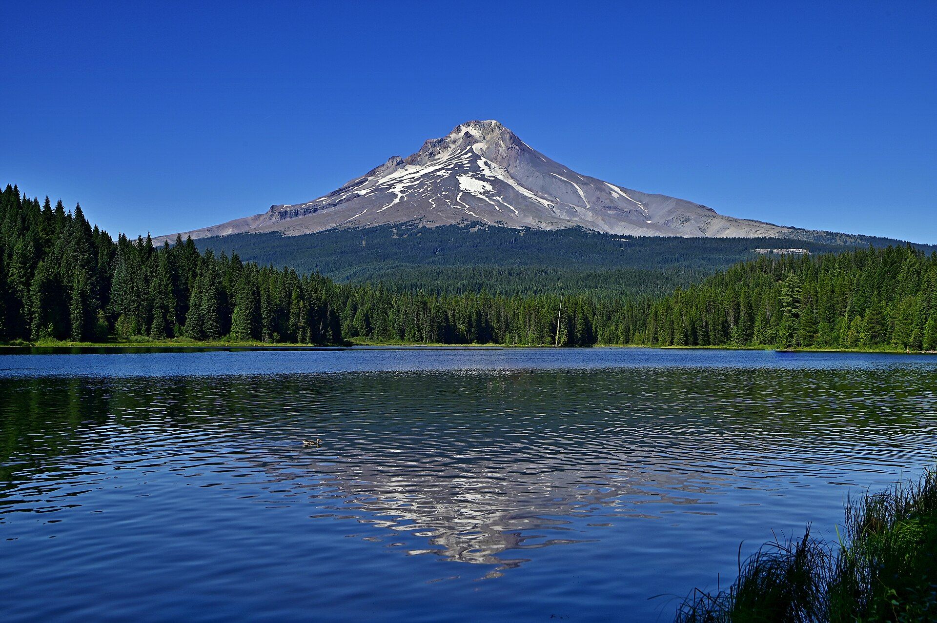
Mount Hood
Northern Oregon Cascades, USA, within Mt. Hood National Forest, east of the Portland metro area
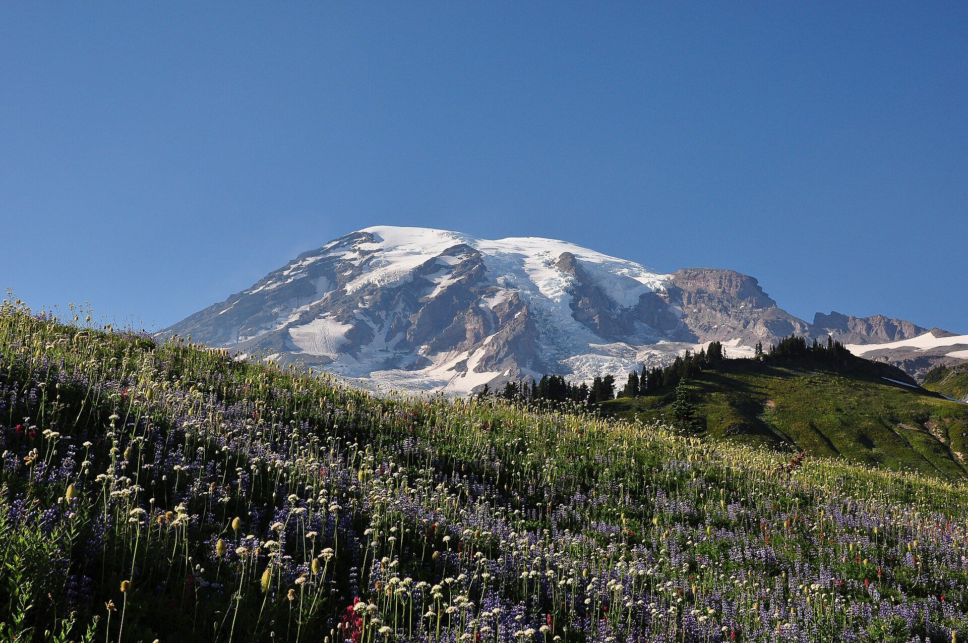
Mount Rainier
Cascade Range, western Washington, USA, about 65 miles southeast of the Seattle–Tacoma area
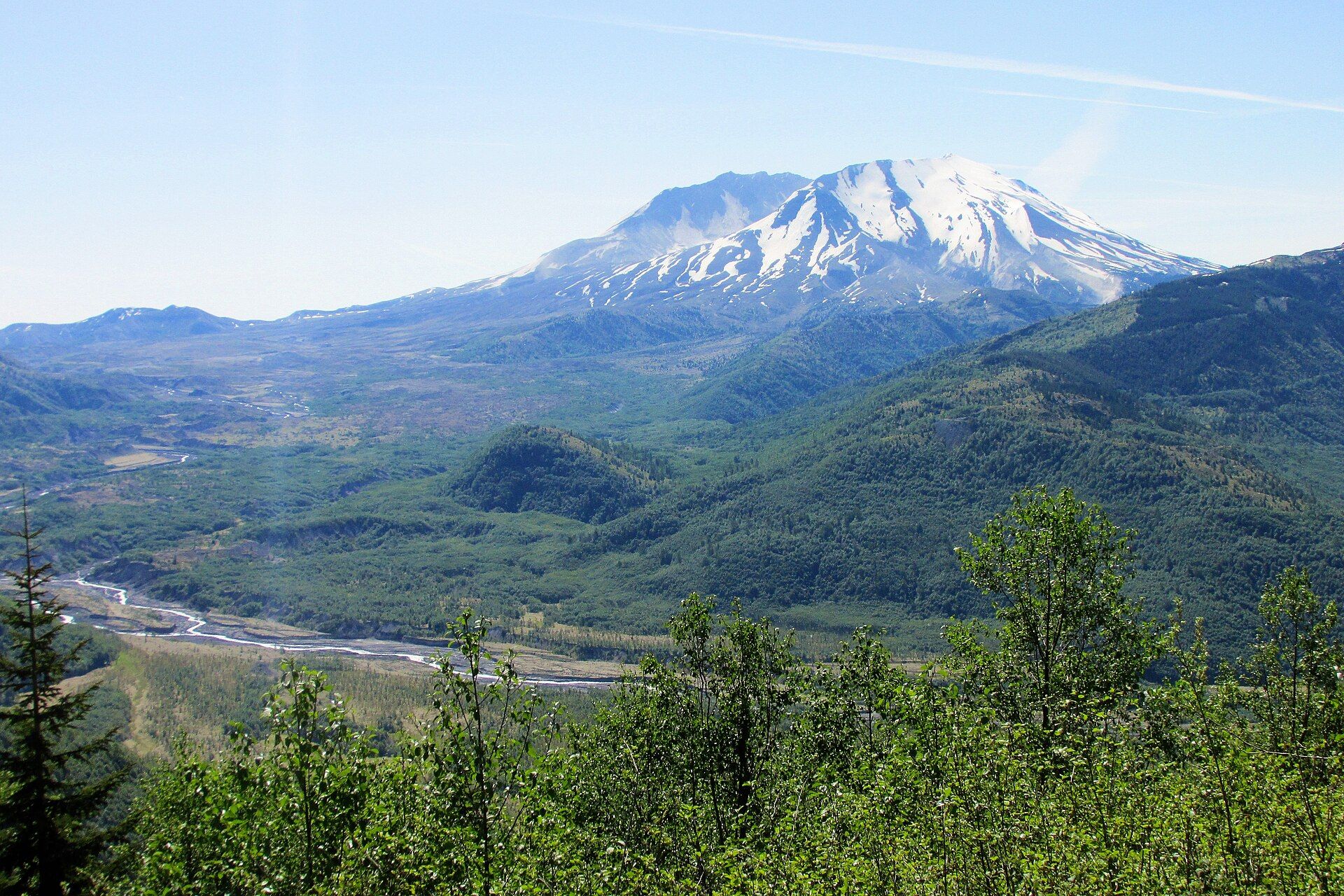
Mount St. Helens
Cascade Range, south-west Washington, USA, about 70 miles north of Portland, Oregon
Added