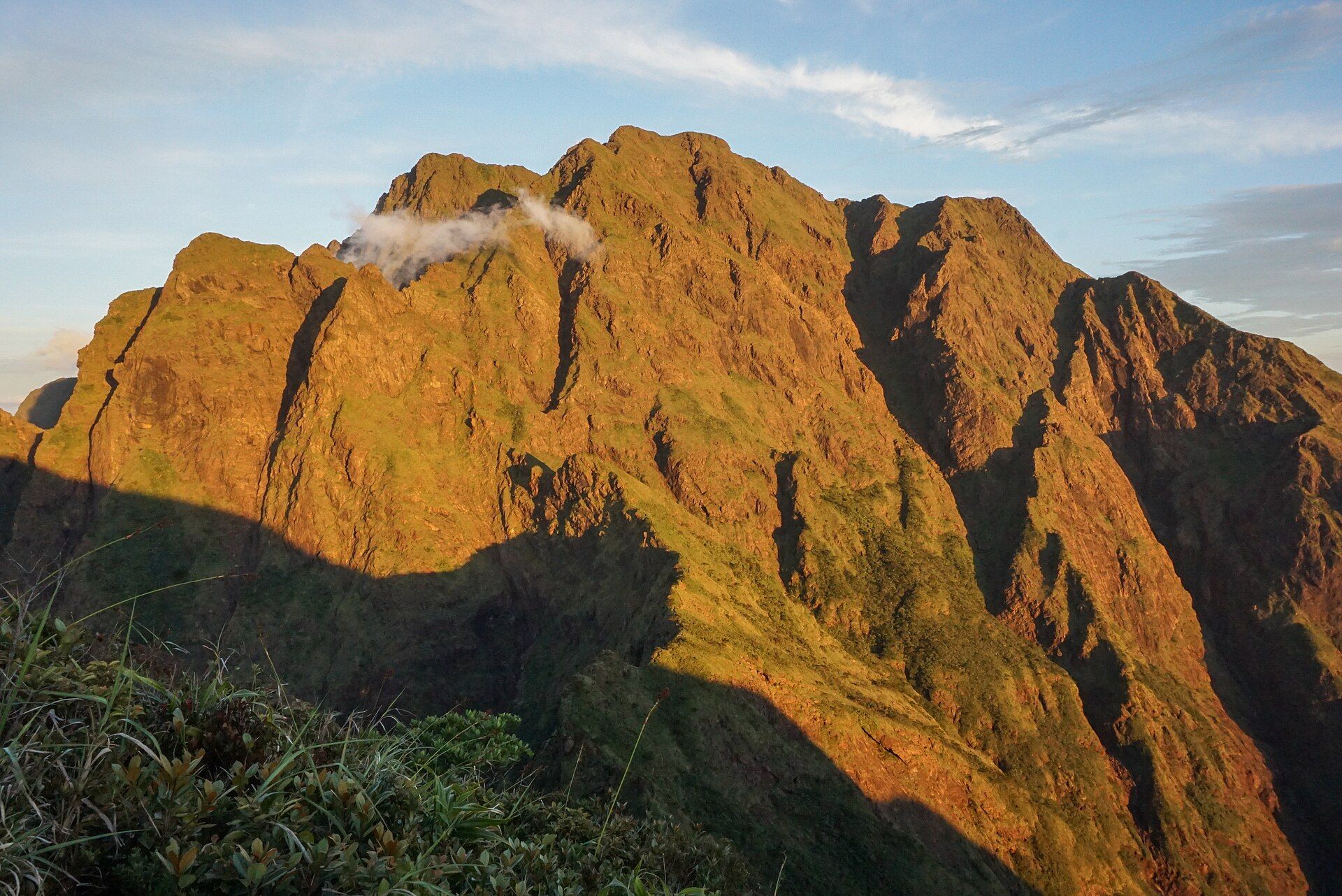
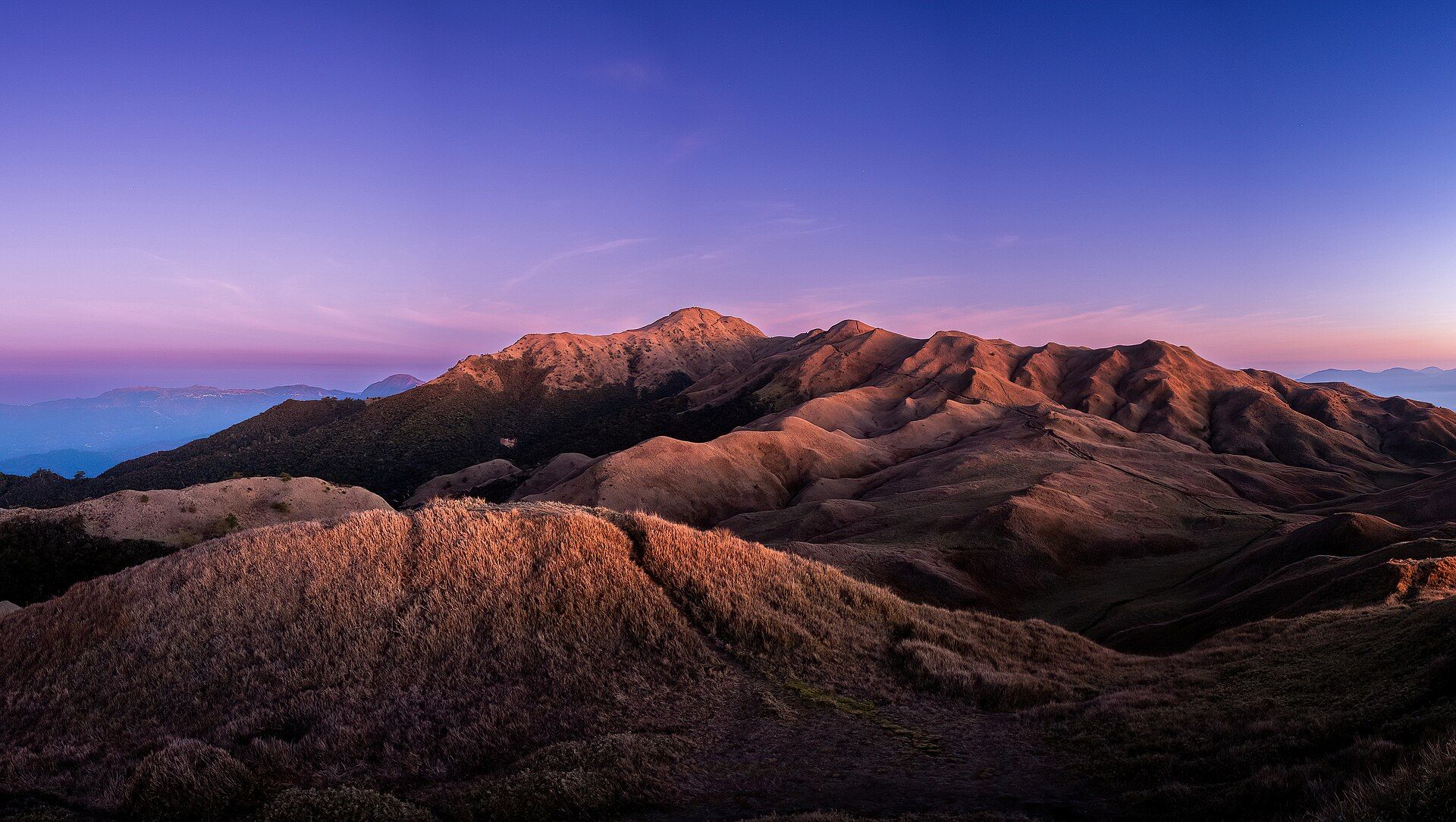
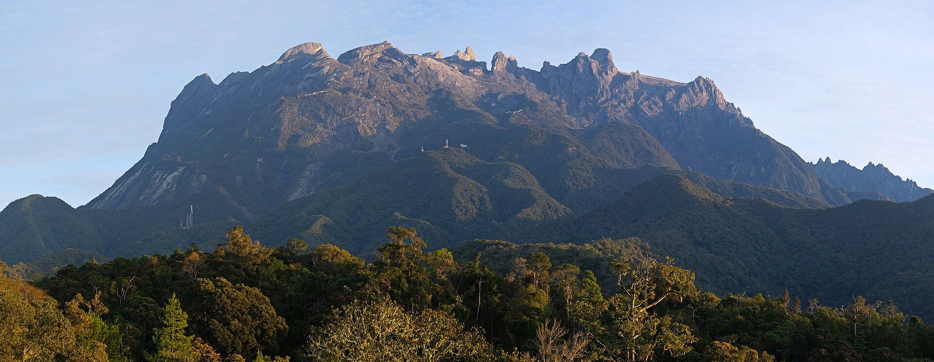
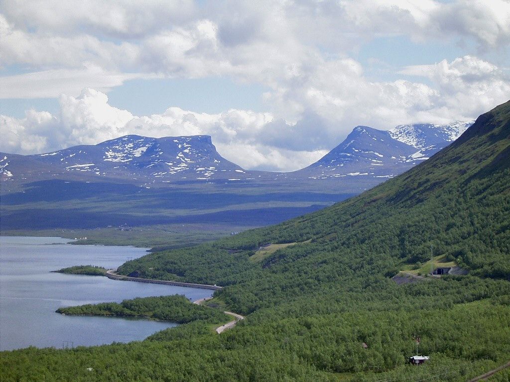
Mount Apo
📍 Davao del Sur / Cotabato, Mindanao, Philippines
The highest mountain in the Philippines at 2,954 metres — a potentially active volcano whose slopes hold sulfur vents, a summit boulder field, crater lakes, and one of the country's most important refuges for the Philippine eagle.
What makes it marvelous
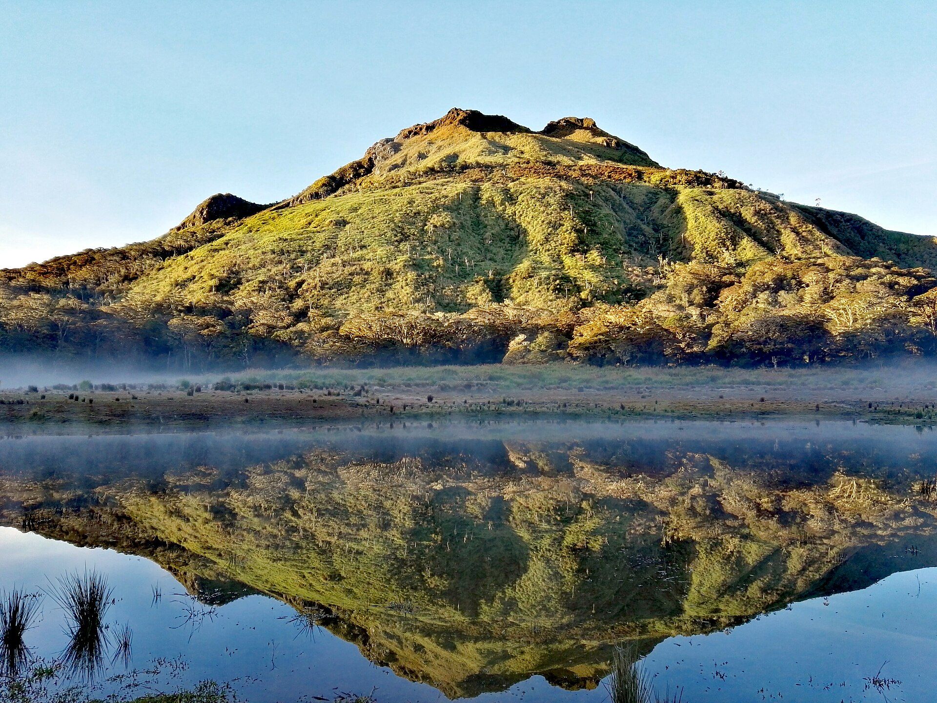
Apo is a stratovolcano and a biodiversity stronghold. From lowland rainforest it climbs through mossy cloud forest to a stark summit of boulders and fumaroles, passing lakes and sulfur springs on the way. It is a key habitat for the critically endangered Philippine eagle — one of the world's largest and rarest raptors — and for pitcher plants and orchids found nowhere else.
Why visit
It is the roof of the country: a multi-day trek through wildly changing ecosystems to a summit with views across Mindanao. For serious hikers it is a rite of passage, and for naturalists the forests below are alive with endemic birds and plants.
What to know before you go
🗓️ Best time
March to May, the drier months, for the safest trails and clearest summits. Trekking permits and quotas apply and the mountain periodically closes for rehabilitation.
🧭 Getting there & access
Reached from Davao City, Kidapawan, or Digos, with several trail options over 2–3 days. A permit, orientation, and accredited guide are mandatory; climber numbers are capped to protect the fragile summit.
Good to know
- Book permits early — Mount Apo enforces quotas and seasonal closures.
- Carry out all waste; the summit ecosystem is slow to recover from trampling and litter.
- Go with an accredited guide who knows the volcanic hazards and weather.
Plan your visit
Strenuous🧭 Getting there
From Davao City (DVO), or Kidapawan, North Cotabato
- Fly → Davao (DVO)
- Road Davao → Kidapawan, Digos or Kapatagan depending on your chosen trail — roughly 2h–3h
- Trailhead → summit and back — typically 3–4 days via Kidapawan, 2–3 via Kapatagan
- Total travel
- Half a day from Davao to a trailhead
- Time at site
- 2–4 days on the mountain
- Access
- You cannot climb Apo independently. Registration with the local government unit administering your chosen trail is required, along with an accredited guide, a recent medical certificate and, on some routes, a capped daily quota. The mountain has also been closed outright for extended rehabilitation periods, most notably after fire damage, and closure schedules are set season by season. Confirm with the relevant LGU tourism office and DENR before booking flights.
🎒 What to bring & consider
- Cold-weather gear and a proper sleeping bag — the summit and Lake Venado camps drop close to freezing, which catches out people who packed for tropical Mindanao
- Gloves and boots with real ankle support for the boulder face below the summit, which is loose volcanic rock rather than a path
- A medical certificate obtained before you travel, since it is checked at registration and not optional
- Water discipline: sources are limited above the last river crossing and guides ration what you carry up
- Awareness of sulfur vents near the summit — the guides route around them and you should not wander off to explore
👁️ What to expect
- Crowds
- Busy in the dry-season window and around long weekends, when quotas fill. Quiet otherwise.
- Conditions
- Long forest ascents, a wet mossy section, then an exposed boulder field. Rain is likely on any route at any time of year.
- Facilities
- None beyond designated campsites. Everything is carried, and rubbish is carried back down.
- The view
- Sunrise from the summit over a sea of cloud with the crater rim in shadow, or Lake Venado with the peak reflected. Both need a clear dawn, and Apo generates its own cloud most afternoons.
Times and requirements are approximate and change with season, weather, and local rules — confirm permits, fares, and schedules with operators before you travel.
Natural riches of the area
- Rainforest, mossy forest, and summit shrub — a full tropical mountain gradient
- Habitat for the Philippine eagle, hornbills, and endemic mammals
- Sulfur vents, hot springs, and crater lakes
- Headwaters supplying rivers across southern Mindanao
Local food
- Durian
- Davao is the durian capital of the Philippines; the pungent 'king of fruits' is everywhere in season.
- Kinilaw na malasugue
- Marlin ceviche cured in vinegar and coconut, a Davao specialty.
- Mangosteen & pomelo
- Southern Mindanao's sweet tropical fruit, harvested from the same fertile volcanic soils.
Mount Apo is the highest ground in the Philippines, and climbing it is a journey through the whole vertical sweep of a tropical mountain — from humid rainforest, up through dripping mossy cloud forest, to a bare summit of boulders and steaming sulfur vents at nearly 2,954 metres.
It is also one of the country’s great arks of life. The forests on its flanks shelter the critically endangered Philippine eagle, along with hornbills, endemic mammals, pitcher plants, and orchids. That is why access is capped and permit-controlled, with periodic closures to let the trails and summit recover.
For those who make the multi-day trek — responsibly, with guides, carrying out everything they bring — Apo offers both a summit and a lesson in how much biodiversity a single mountain can hold.
Mount Apo: common questions
How do you get to Mount Apo?
From Davao City (DVO), or Kidapawan, North Cotabato: Fly → Davao (DVO); Road Davao → Kidapawan, Digos or Kapatagan depending on your chosen trail — roughly 2h–3h; Trailhead → summit and back — typically 3–4 days via Kidapawan, 2–3 via Kapatagan. Total travel time: Half a day from Davao to a trailhead.
When is the best time to visit Mount Apo?
March to May, the drier months, for the safest trails and clearest summits. Trekking permits and quotas apply and the mountain periodically closes for rehabilitation.
How long should you spend at Mount Apo?
2–4 days on the mountain. Total travel time: Half a day from Davao to a trailhead.
What should you bring to Mount Apo?
Cold-weather gear and a proper sleeping bag — the summit and Lake Venado camps drop close to freezing, which catches out people who packed for tropical Mindanao Gloves and boots with real ankle support for the boulder face below the summit, which is loose volcanic rock rather than a path A medical certificate obtained before you travel, since it is checked at registration and not optional Water discipline: sources are limited above the last river crossing and guides ration what you carry up Awareness of sulfur vents near the summit — the guides route around them and you should not wander off to explore
Do you need a permit or guide for Mount Apo?
You cannot climb Apo independently. Registration with the local government unit administering your chosen trail is required, along with an accredited guide, a recent medical certificate and, on some routes, a capped daily quota. The mountain has also been closed outright for extended rehabilitation periods, most notably after fire damage, and closure schedules are set season by season. Confirm with the relevant LGU tourism office and DENR before booking flights.
Is Mount Apo crowded, and what are conditions like?
Busy in the dry-season window and around long weekends, when quotas fill. Quiet otherwise. Long forest ascents, a wet mossy section, then an exposed boulder field. Rain is likely on any route at any time of year. Facilities: None beyond designated campsites. Everything is carried, and rubbish is carried back down.
Added Updated