The Cardamom Mountains
📍 Koh Kong, Pursat and Kampong Speu Provinces, southwestern Cambodia
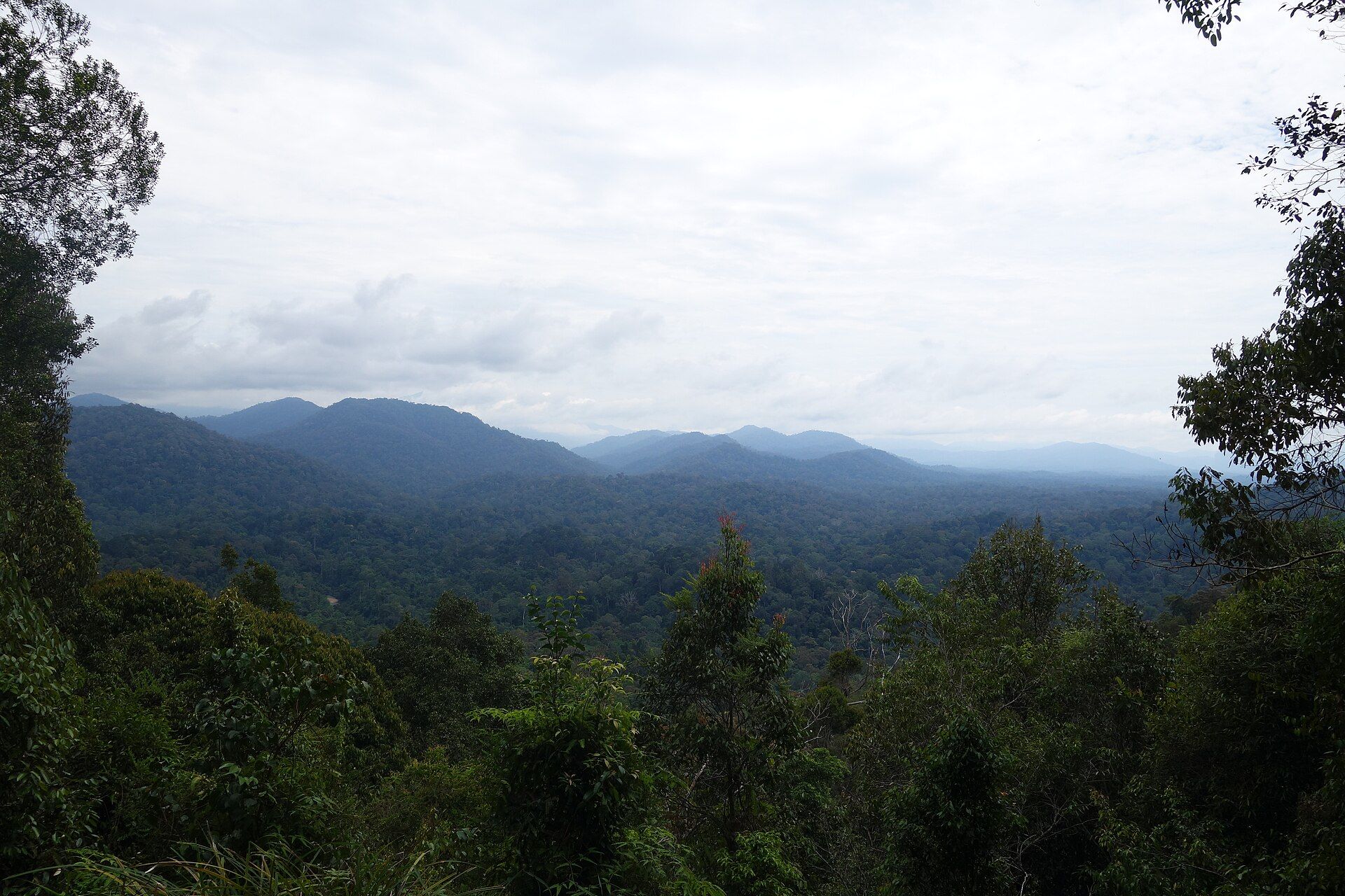
One of the largest tracts of rainforest left in mainland Southeast Asia, almost unpopulated across its interior — and a range wet enough on one side and dry enough on the other to hold two different forests at once.
What makes it marvelous
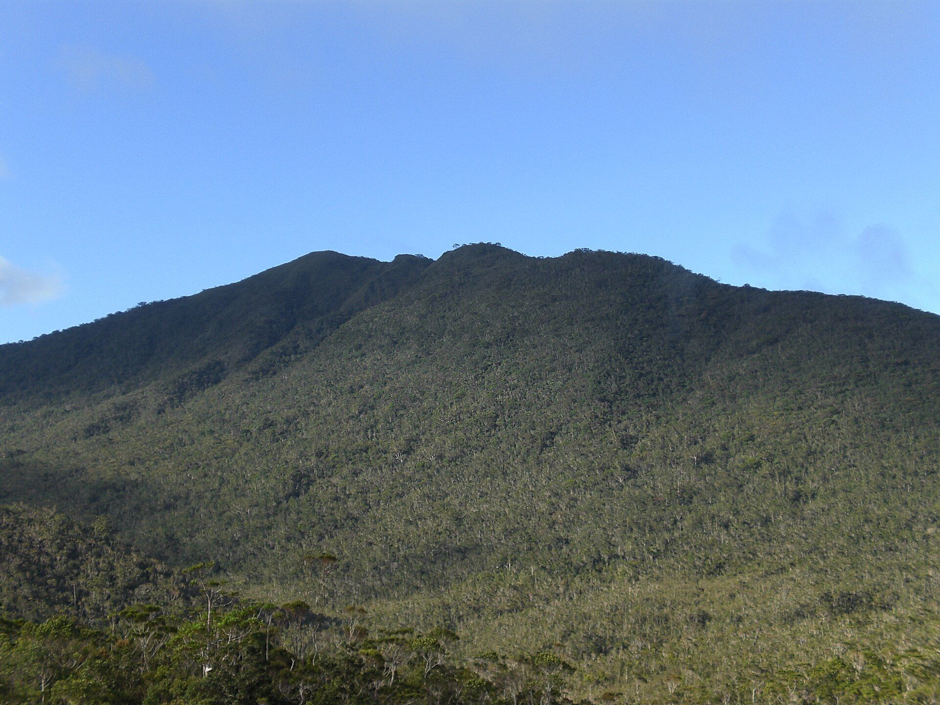
The Cardamoms run northwest to southeast across southwestern Cambodia and over the border into Thailand, and what makes them exceptional is how much of them is still standing. Most of the interior has almost no human population, which is rare anywhere in mainland Southeast Asia at this scale. The range also does something unusual with weather: its western slopes face the Gulf of Thailand and take between 3,800 and 5,000 millimetres of rain a year, while the eastern slopes sit in the rain shadow and receive only 1,000 to 1,500 — so the wet evergreen rainforest on one flank gives way to drier woodland on the other within a short distance. Phnom Aural, at 1,813 metres, is the highest point in Cambodia, and Phnom Samkos reaches 1,717. The forest holds one of the largest protected populations of wild elephants left in Southeast Asia, along with Asian leopards, gibbons and hornbills.
Why visit
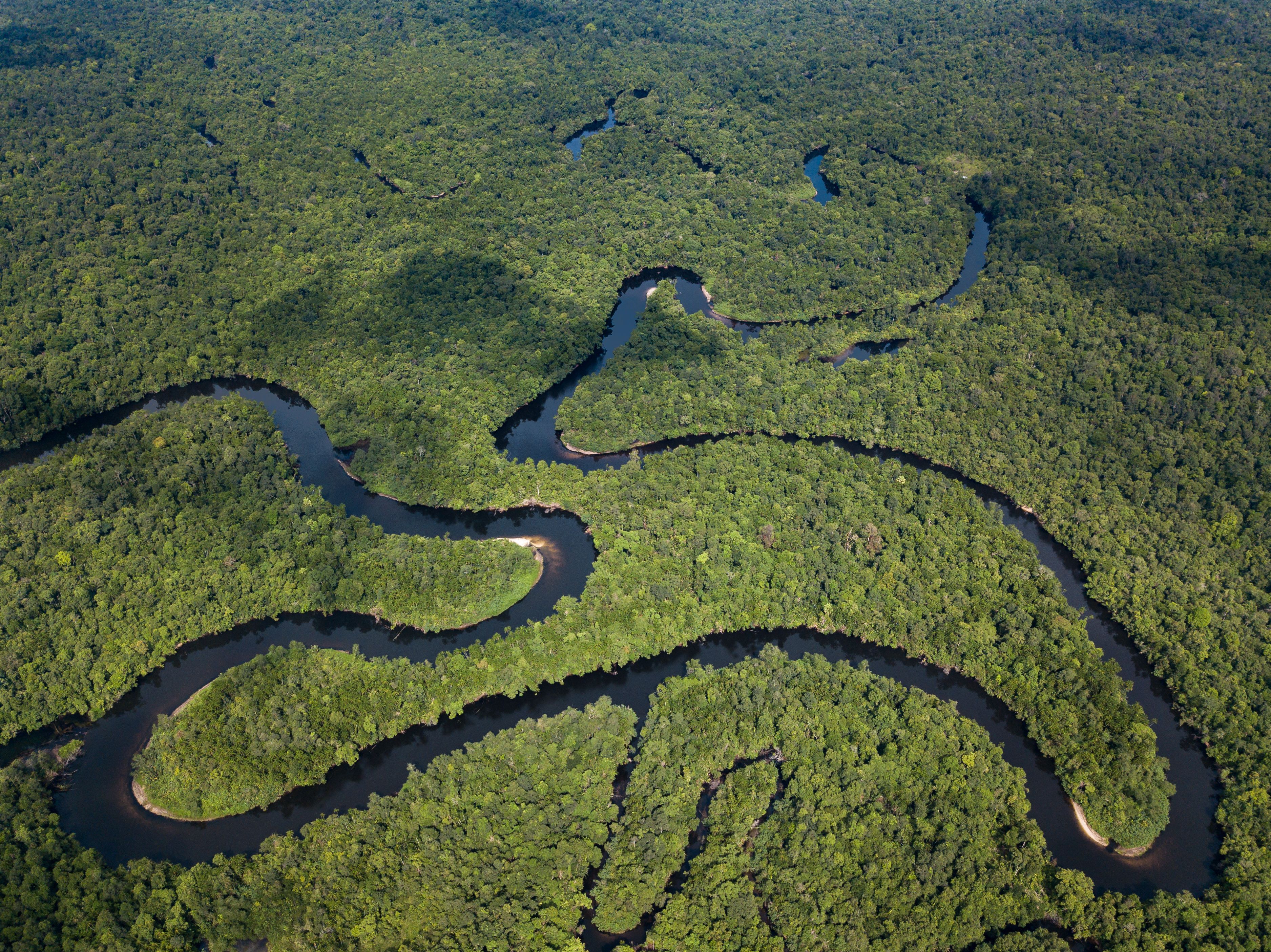
It is the opposite of the Cambodia most visitors see. Instead of dry central plain there is unbroken canopy, blackwater rivers meandering through it, and a community-run ecotourism programme that will take you into it on foot or by kayak with local guides. Coming here is one of the few ways to experience Southeast Asian rainforest at genuine landscape scale rather than as a fragment.
What to know before you go
🗓️ Best time
November to April is the dry season and the practical window — trails are passable and the rivers are calm. The southwest monsoon from May to October drops extraordinary amounts of rain on the western slopes and makes most tracks impassable.
🧭 Getting there & access
The usual way in is Chi Phat, a village-run ecotourism site in Koh Kong Province. It is roughly four hours by road from Phnom Penh to the highway town of Andoung Tuek, then about 17 km inland by boat up the river or by motorbike. Guides, homestays, hikes, kayaking and overnight forest trips are all booked through the community programme rather than privately.
Good to know
- Book through the community ecotourism office rather than arranging guides informally — the whole model depends on it.
- Come in the dry season; in the monsoon the western slopes are among the wettest places in the region.
- Leeches are routine on wet-season and shoulder-season walks. Bring proper socks.
- This is genuine forest, not a park loop — carry more water than you think and go with a guide.
Plan your visit
Moderate🧭 Getting there
From Phnom Penh (PNH), Cambodia
- Fly into Phnom Penh
- Take the bus roughly four hours southwest to Andoung Tuek on the coastal highway
- Continue about 17 km inland to Chi Phat by river boat or motorbike
- Book hikes, kayaking or overnight forest trips through the community office
- Total travel
- Most of a day from Phnom Penh
- Time at site
- 2–4 days; longer if you want a multi-day trek
- Access
- Access is through community-based ecotourism rather than a ticketed park gate. Guides, homestays and trips are arranged locally on arrival or by advance booking. Some of the interior is strictly protected and off limits to visitors, which is why the trips run where they do.
🎒 What to bring & consider
- Boots that will survive being wet for days
- Insect repellent and leech socks
- Cash in riel or US dollars — there is no banking in the village
- A dry bag for the river legs
- Time built in for weather; river levels change the plan
👁️ What to expect
- Crowds
- Very light. Even in high season this is a fraction of the traffic on Cambodia's main tourist circuit.
- Conditions
- Hot, humid and heavily forested. River travel, muddy trails, steep ground once you leave the valleys.
- Facilities
- Village homestays and guesthouses with basic rooms and meals; nothing at all once you are in the forest.
- The view
- The blackwater river winding through unbroken canopy from high ground, in early light before the day's haze builds.
Times and requirements are approximate and change with season, weather, and local rules — confirm permits, fares, and schedules with operators before you travel.
Natural riches of the area
- Among the largest remaining rainforest blocks in mainland Southeast Asia
- Phnom Aural, 1,813 m — the highest point in Cambodia
- Wet evergreen forest west, dry rain-shadow forest east, within a single range
- One of Southeast Asia's largest protected wild elephant populations
- Blackwater rivers meandering through unbroken canopy
Local food
- Amok trey
- Fish steamed in coconut and kroeung paste, wrapped in banana leaf.
- Kroeung
- The lemongrass, galangal and turmeric paste underlying most Khmer cooking.
- Prahok
- Fermented fish paste — the salt backbone of the Cambodian kitchen.
- Cardamom
- The spice the range is named for, still grown on its eastern slopes alongside pepper.
Cambodia is not a country most people associate with rainforest. The image most people carry is dry plain and rice paddy. But along the southwest edge, running down to the Gulf of Thailand, the Cardamom Mountains hold one of the largest continuous blocks of rainforest left anywhere in mainland Southeast Asia — and most of its interior has essentially no one living in it.
The range does something unusual with rain. Its western slopes face the gulf and catch the full southwest monsoon: between 3,800 and 5,000 millimetres a year, which is enough to keep wet evergreen forest going. Cross to the eastern side and you are in the rain shadow, where the annual total falls to somewhere between 1,000 and 1,500 millimetres and the forest changes character entirely. Two forests, one range, a short distance apart. Above it all stands Phnom Aural at 1,813 metres, the highest point in the country, with Phnom Samkos not far behind at 1,717.
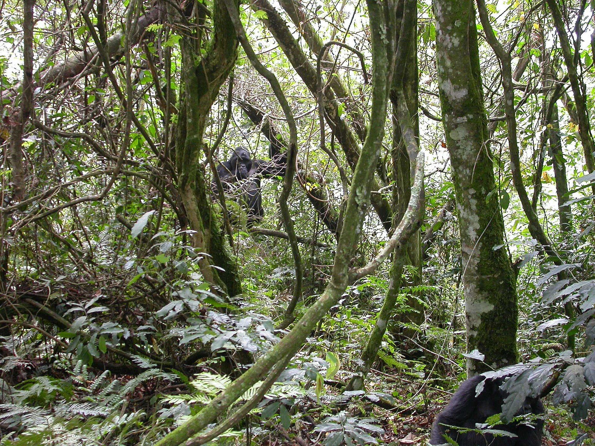
What lives in there is the other reason it matters. The Cardamoms hold one of the largest protected populations of wild elephants remaining in Southeast Asia, along with leopards, gibbons, hornbills and a long list of species that have run out of room elsewhere in the region.
Getting into it is deliberately not easy, and that is the point. The usual way is Chi Phat, a village in Koh Kong Province that runs its own ecotourism programme — you reach it by road to the coastal highway and then by boat up the river, and you book hikes, kayak trips and overnight stays in the forest through the community rather than through an operator. The revenue is the reason the forest is worth more standing than cut, which is a more honest conservation argument than most.
The Cardamom Mountains: common questions
How do you get to The Cardamom Mountains?
From Phnom Penh (PNH), Cambodia: Fly into Phnom Penh; Take the bus roughly four hours southwest to Andoung Tuek on the coastal highway; Continue about 17 km inland to Chi Phat by river boat or motorbike; Book hikes, kayaking or overnight forest trips through the community office. Total travel time: Most of a day from Phnom Penh.
When is the best time to visit The Cardamom Mountains?
November to April is the dry season and the practical window — trails are passable and the rivers are calm. The southwest monsoon from May to October drops extraordinary amounts of rain on the western slopes and makes most tracks impassable.
How long should you spend at The Cardamom Mountains?
2–4 days; longer if you want a multi-day trek. Total travel time: Most of a day from Phnom Penh.
What should you bring to The Cardamom Mountains?
Boots that will survive being wet for days Insect repellent and leech socks Cash in riel or US dollars — there is no banking in the village A dry bag for the river legs Time built in for weather; river levels change the plan
Do you need a permit or guide for The Cardamom Mountains?
Access is through community-based ecotourism rather than a ticketed park gate. Guides, homestays and trips are arranged locally on arrival or by advance booking. Some of the interior is strictly protected and off limits to visitors, which is why the trips run where they do.
Is The Cardamom Mountains crowded, and what are conditions like?
Very light. Even in high season this is a fraction of the traffic on Cambodia's main tourist circuit. Hot, humid and heavily forested. River travel, muddy trails, steep ground once you leave the valleys. Facilities: Village homestays and guesthouses with basic rooms and meals; nothing at all once you are in the forest.
Added
More wonders to explore