Head to head · Japan's symmetrical cone vs Washington's glacier-wrapped giant
Mount Fuji vs Mount Rainier: Two Volcanoes Above Two Cities
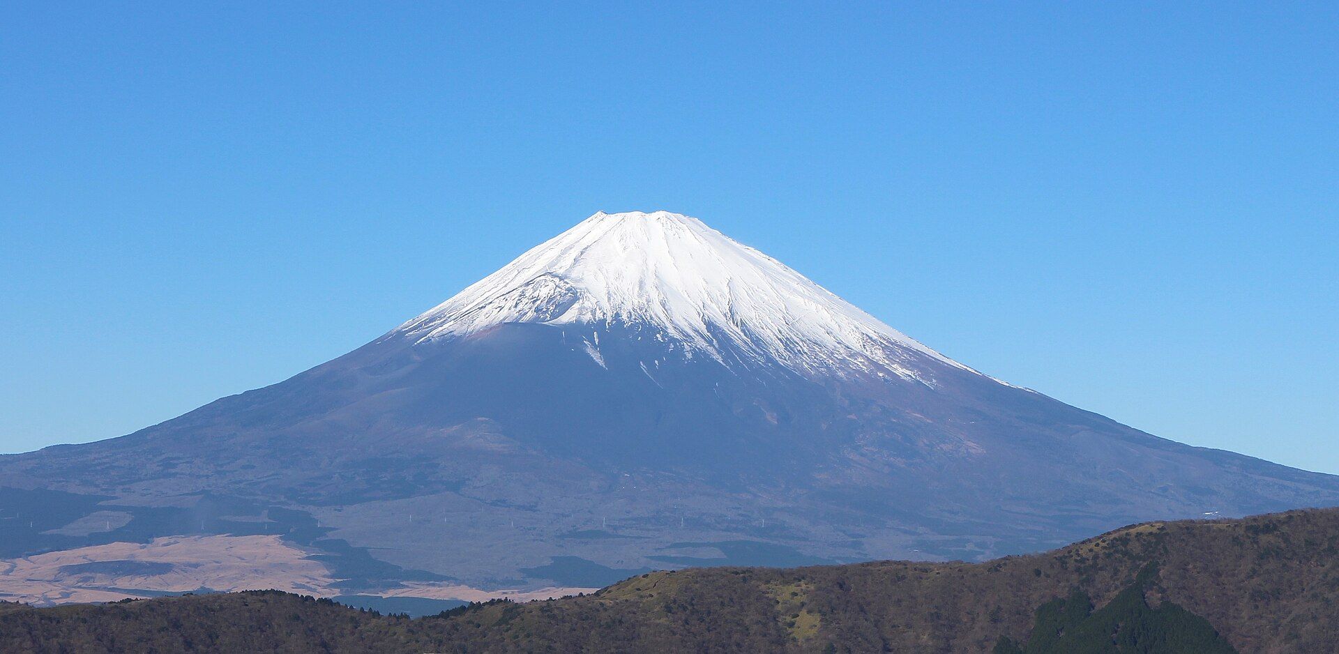
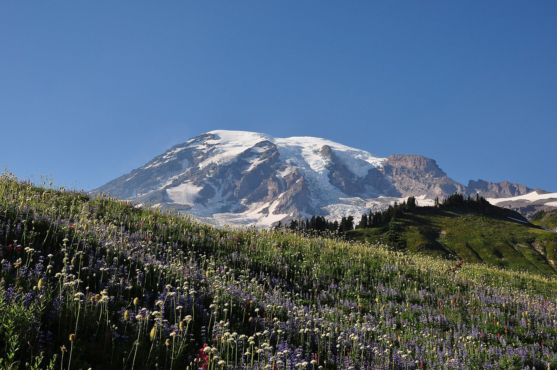
Mount Fuji and Mount Rainier are lone volcanoes that dominate the skylines of two big metropolitan areas. Fuji, Japan's highest peak at 3,776 m, is an almost perfectly symmetrical stratovolcano that last erupted in 1707 and can be seen from central Tokyo on a clear day, about 100 km away. Rainier, at 14,410 ft (4,392 m), stands about 65 miles from the Seattle–Tacoma area. It carries 28 named glaciers, and the US National Park Service calls it the most hazardous volcano in the Cascade Range.
The visitor experience is very different. Fuji is about the view and an overnight hike to the summit that crowds make every summer. At Rainier, most visitors walk the wildflower meadows at Paradise and Sunrise. The summit is a glaciated alpine climb for experienced, equipped parties.
Mount Fuji
The classic cone, and a summer summit hike
Inscribed by UNESCO as a cultural site for its place in Japanese art. The official climbing season is roughly early July to early September; the climb is normally an overnight, roughly 5–7 hours up and 3–5 down on volcanic scree, timed for sunrise. The Yoshida trail now has an entry system with a daily cap, a fee and overnight rules, so check the prefecture's current climbing portal. Out of season the mountain is a serious alpine proposition. For views, the Fuji Five Lakes and Hakone are about two hours from Tokyo.
- The reflected cone from Lake Kawaguchi
- A non-technical summit climb in season
- Sunrise (goraikō) from the summit
- Easy day trip to the lakes from Tokyo
Mount Rainier
A glacier-covered volcano with wildflower meadows
Twenty-eight named glaciers cover about 35 square miles of its flanks. Paradise, 19 miles from the Nisqually Entrance and open year-round, averages around 53 ft of snow a year; trails can stay snowy into June or July, and the meadows bloom from mid- to late summer. Climbing the summit needs a permit and is a glaciated ascent. Most visitors hike the meadow trails or walk part of the 93-mile Wonderland Trail around the mountain. An entrance pass is required, and timed-entry reservations have applied to the Paradise and Sunrise corridors in recent summers.
- Wildflower meadows under the glaciers at Paradise and Sunrise
- The 93-mile Wonderland Trail around the mountain
- Old-growth forest in the lower valleys
- A day trip from Seattle
Head to head
| What matters | Mount Fuji | Mount Rainier |
|---|---|---|
| Height Edge: Mount Rainier | 3,776 m — Japan's highest peak. | 14,410 ft (4,392 m), with 28 named glaciers. |
| Summit climb Edge: Mount Fuji | Non-technical but strenuous; done in the July–September season with huts on the trail. | A glaciated alpine ascent, with a permit, for experienced, equipped parties. |
| Without climbing Edge: Mount Rainier | Lake views from the Fuji Five Lakes and Hakone. | Meadow and forest trails at Paradise and Sunrise, right under the ice. |
| Getting there Edge: Toss-up | About two hours from Tokyo to the lakes or the 5th Stations. | About 65 miles from the Seattle–Tacoma area to the park boundary. |
| Season Edge: Toss-up | July–early September to climb; autumn and winter for the clearest views of the snow-capped cone. | July–September for snow-free trails and meadows; Paradise is open in winter for snowshoeing. |
| Crowds Edge: Toss-up | The Yoshida trail is congested in season, with queues before dawn. | Paradise and Sunrise are very busy on summer weekends; the north-west is quieter. |
| Rules to check Edge: Toss-up | Yoshida trail entry system, daily cap and fee — check the prefecture's portal. | Entrance pass and any timed-entry reservations — check nps.gov/mora. |
| Volcanic activity Edge: Toss-up | Active; last erupted in 1707. | Active; monitored by the USGS Cascades Volcano Observatory. |
Which should you choose?
Choose Mount Fuji if…
…you want the iconic view or a once-in-a-lifetime sunrise climb without technical mountaineering, and you are in Tokyo in summer.
Choose Mount Rainier if…
…you want to hike among glaciers and wildflowers without climbing to the top, or you are an experienced mountaineer after a serious glaciated summit.
The honest verdict
If you want to stand on the summit, Fuji is the realistic one: in season it is a non-technical hike, busy enough to queue on. Rainier's summit is a mountaineering objective.
If you want to walk among glaciers, Rainier is the more spectacular hiking mountain. Fuji's slopes are bare scree, and its beauty is mostly seen from a distance.
Both are often in cloud. Plan a spare day, and check current access rules before you go: Fuji's entry system and Rainier's reservations both change.
Wonders mentioned here
Mount Rainier
Cascade Range, western Washington, USA, about 65 miles southeast of the Seattle–Tacoma area
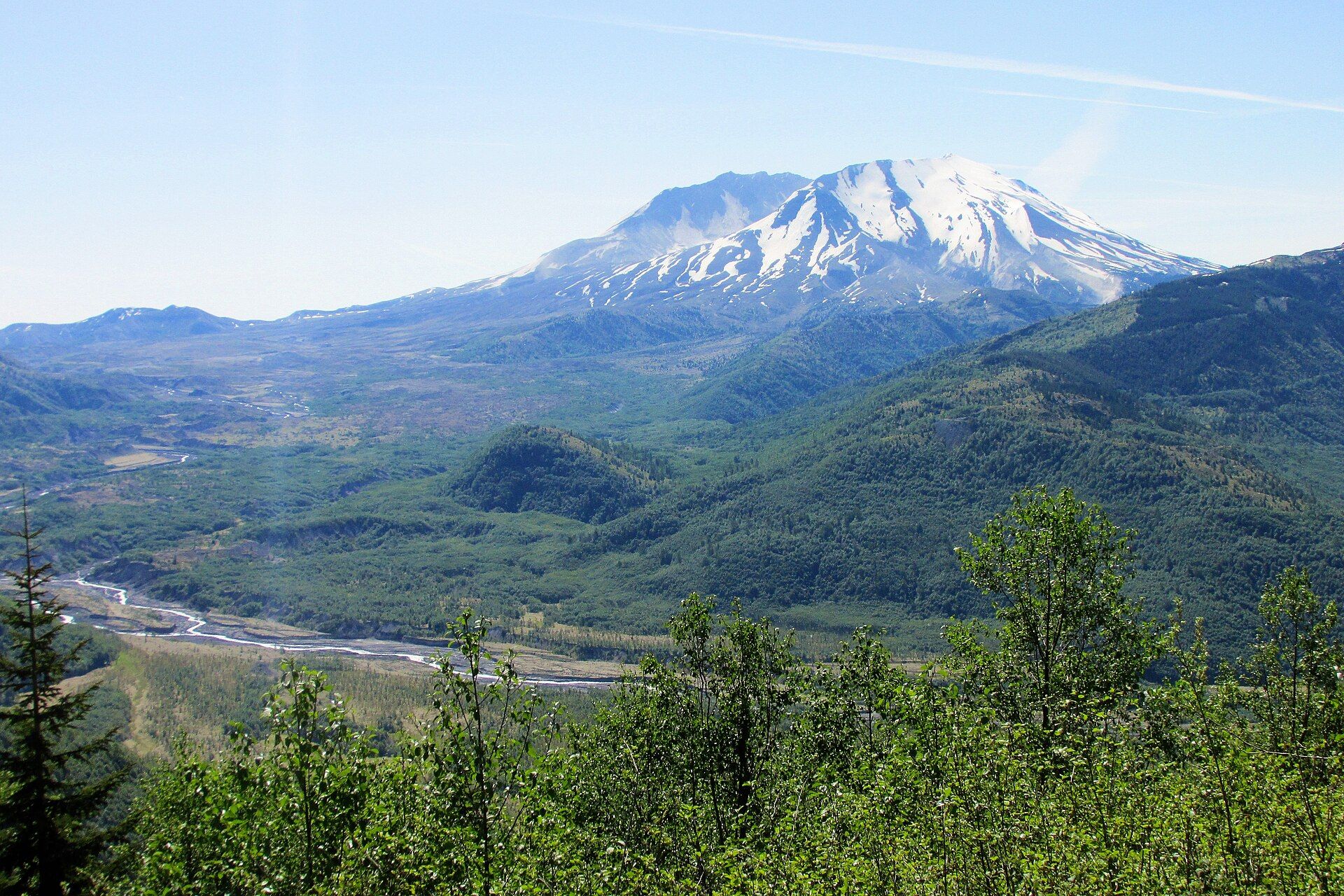
Mount St. Helens
Cascade Range, south-west Washington, USA, about 70 miles north of Portland, Oregon
Added