Region · Pacific Northwest
The Most Beautiful Places in the Pacific Northwest
5 places · every one real, mapped, and worth the trip
The Pacific Northwest's scenery is built by two forces: the Cascade volcanoes, a line of glaciated cones running from Washington into Oregon, and the wet Pacific air that feeds glaciers on their summits and rainforest on the coast. The five places here are all Cascade volcanoes or their neighbours — one blew apart in 1980, one collapsed into the deepest lake in the United States, and one carries 28 named glaciers.
This is our editors' pick of the five Pacific Northwest places in the atlas, in Washington and Oregon. It is unranked. Snow decides the timing: high roads and trails at Rainier, Crater Lake and St. Helens are open mainly in summer, so July to September is the safe window for almost everything here.
-
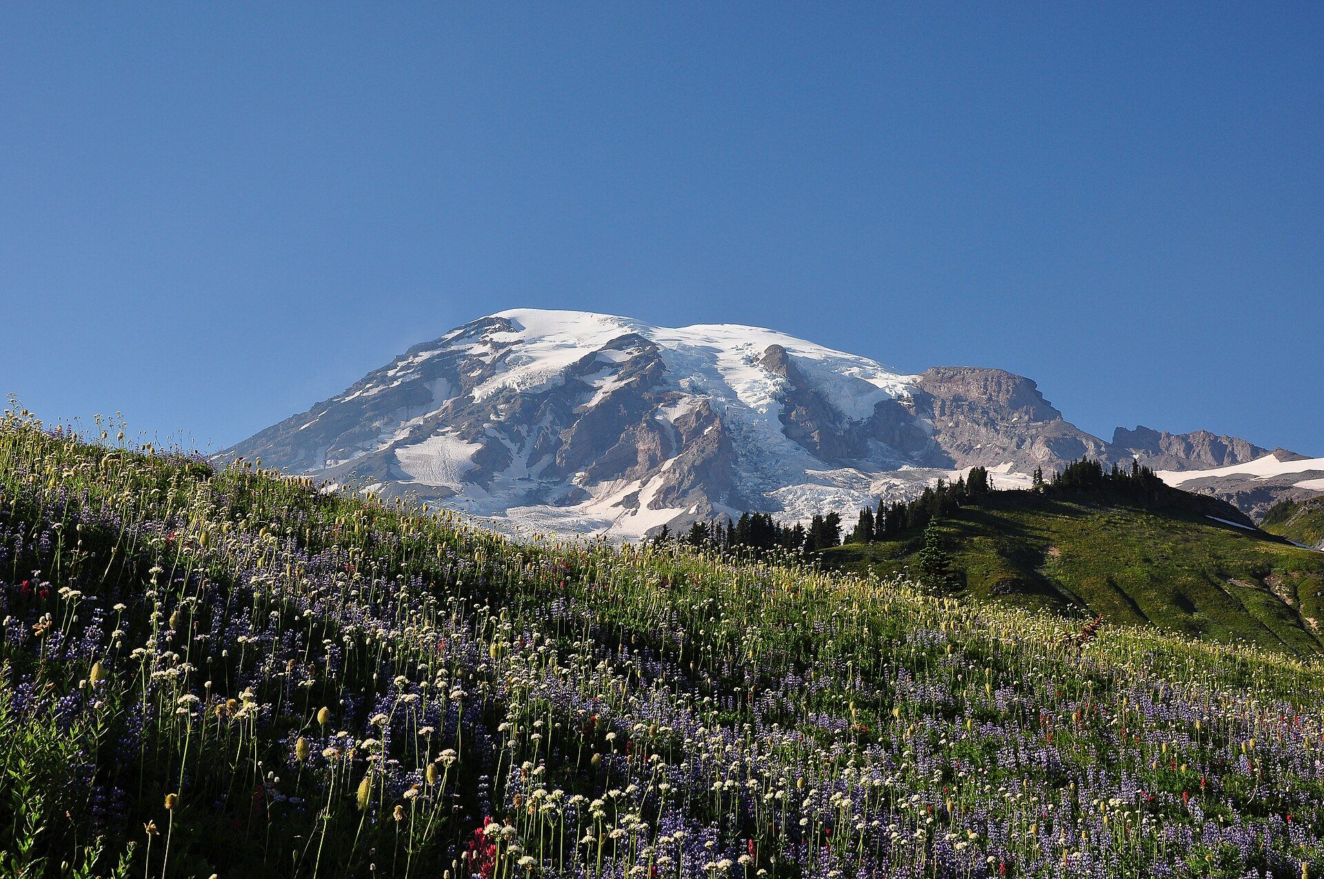
Mount Rainier 28 named glaciers
Cascade Range, western Washington, USA, about 65 miles southeast of the Seattle–Tacoma area
A 14,410 ft (4,392 m) volcano above the Washington Cascades, wrapped in glaciers, old-growth forest and subalpine wildflower meadows, and a national park since 1899. Paradise, 19 miles from the Nisqually Entrance, is open all year; snow can linger on its trails into June or July, so mid- to late summer is best.
-
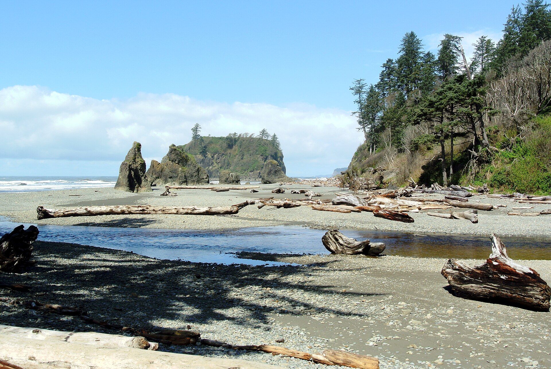
Olympic National Park Three wildernesses in one
Washington State, USA
Moss-draped temperate rainforest, glaciated peaks and a driftwood coast of sea stacks on one peninsula west of Seattle. No road crosses the interior — a loop highway rings it, with spurs to Hurricane Ridge, the Hoh Rainforest and the coast. July to September is driest; winter is very wet.
-
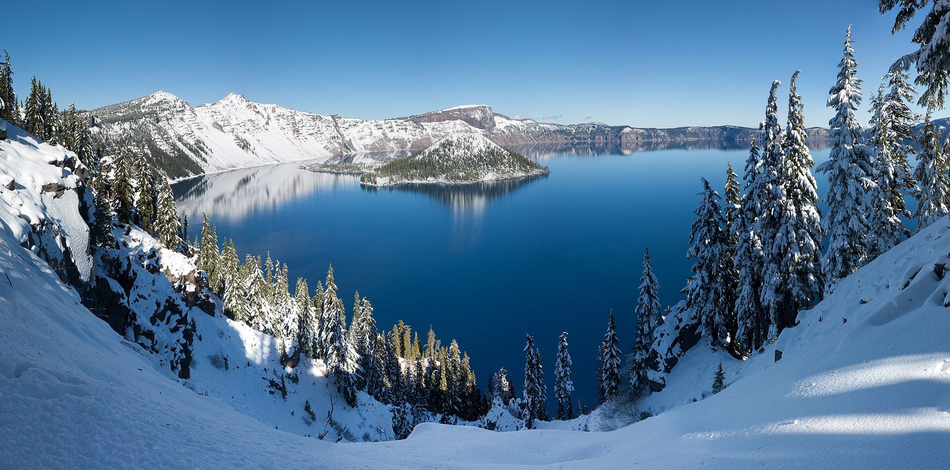
Crater Lake The deepest lake in the US
Oregon, USA
A caldera of luminous blue in southern Oregon, formed when a great volcano collapsed and filled with rain and snow. The Rim Drive circles it in summer and the Cleetwood Cove trail is the only legal route down to the water; for much of the year the caldera is buried in deep snow, so go July to September.
-
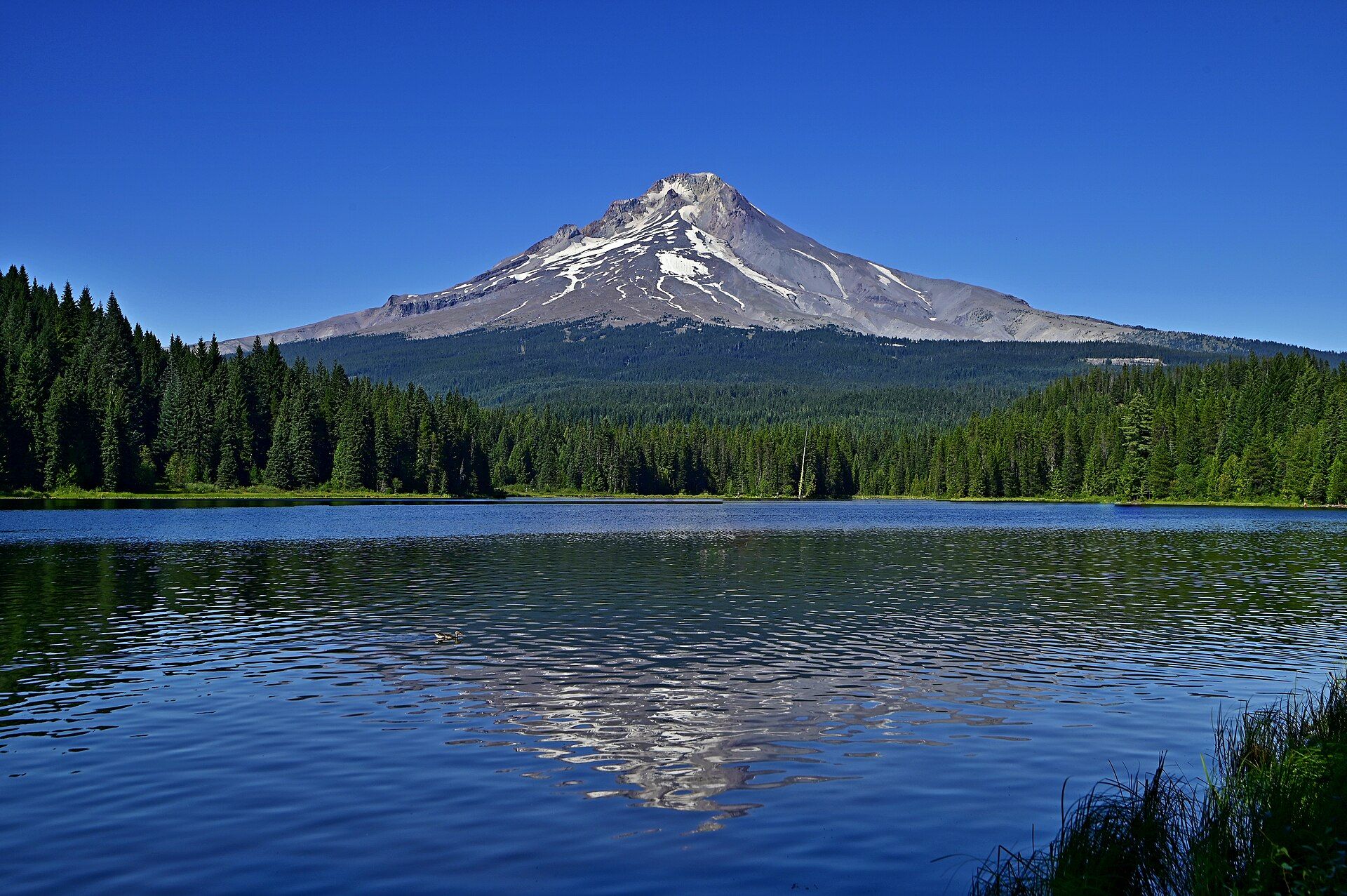
Mount Hood Oregon's highest peak
Northern Oregon Cascades, USA, within Mt. Hood National Forest, east of the Portland metro area
An active 11,239 ft (3,426 m) volcano with 11 glaciers and steaming vents near the summit, close to Portland. The 38-mile Timberline Trail circles it once the snow melts — glacial creeks run high and dangerous in early to mid-summer — and every route to the top is a technical climb, most popular in late spring and early summer.
-
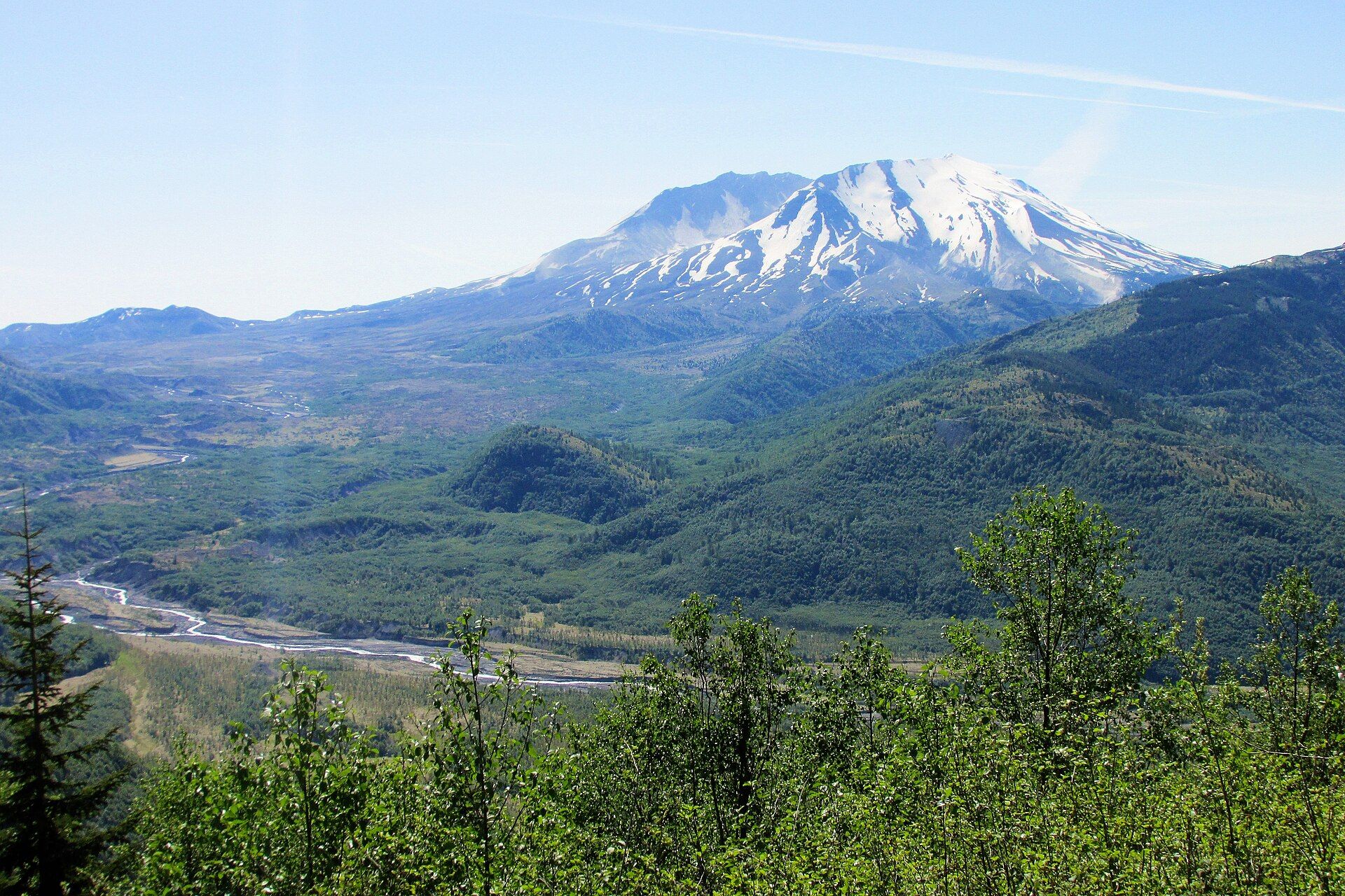
Mount St. Helens The 1980 blast zone
Cascade Range, south-west Washington, USA, about 70 miles north of Portland, Oregon
The volcano that blew open on 18 May 1980, leaving an open crater, a lava dome and a recovering blast zone. Most trails are open June through October. A 2023 landslide cut the road to Johnston Ridge Observatory, which stayed unreachable by car into 2026 — Coldwater Lake and the Hummocks Trail stayed open — and climbing above 4,800 ft needs a permit.
Three of these have head-to-head pages: Mount Hood vs Mount Rainier, Mount Hood vs Mount St. Helens, and Mount St. Helens vs Mount Rainier — plus Mount Rainier vs Olympic for a Seattle base. For the volcanoes further afield, see the most spectacular volcanoes to visit.
Added