Tayrona National Park
📍 Magdalena, Caribbean coast, Colombia
Where the jungled foothills of the Sierra Nevada de Santa Marta tumble straight into the Caribbean — a coast of golden coves, giant granite boulders and rainforest, still lived in and cultivated by the Indigenous peoples who hold it.
What makes it marvelous
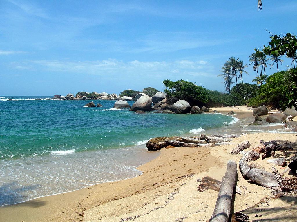
Tayrona protects the meeting point of two extraordinary worlds: the Sierra Nevada de Santa Marta, the highest coastal mountain range on Earth, and the warm Caribbean Sea. Along roughly 30 kilometres of shoreline, rainforest spills down to palm-backed bays where rounded granite boulders the size of houses stand in the surf. The park shelters more than a hundred mammal species and hundreds of birds, and its waters hold coral and seagrass. It remains the ancestral land of the Kogi, Wiwa and other descendants of the Tayrona civilisation, who still live and farm on the slopes above the park.
Why visit
Reaching the famous beaches of Cabo San Juan and Playa Cristal means walking forest paths where howler monkeys call overhead before the trees part onto a perfect crescent of sand. It is a rare place to swim, hike and sleep in a hammock between jungle and sea, and to feel the living presence of the Indigenous communities whose territory this is.
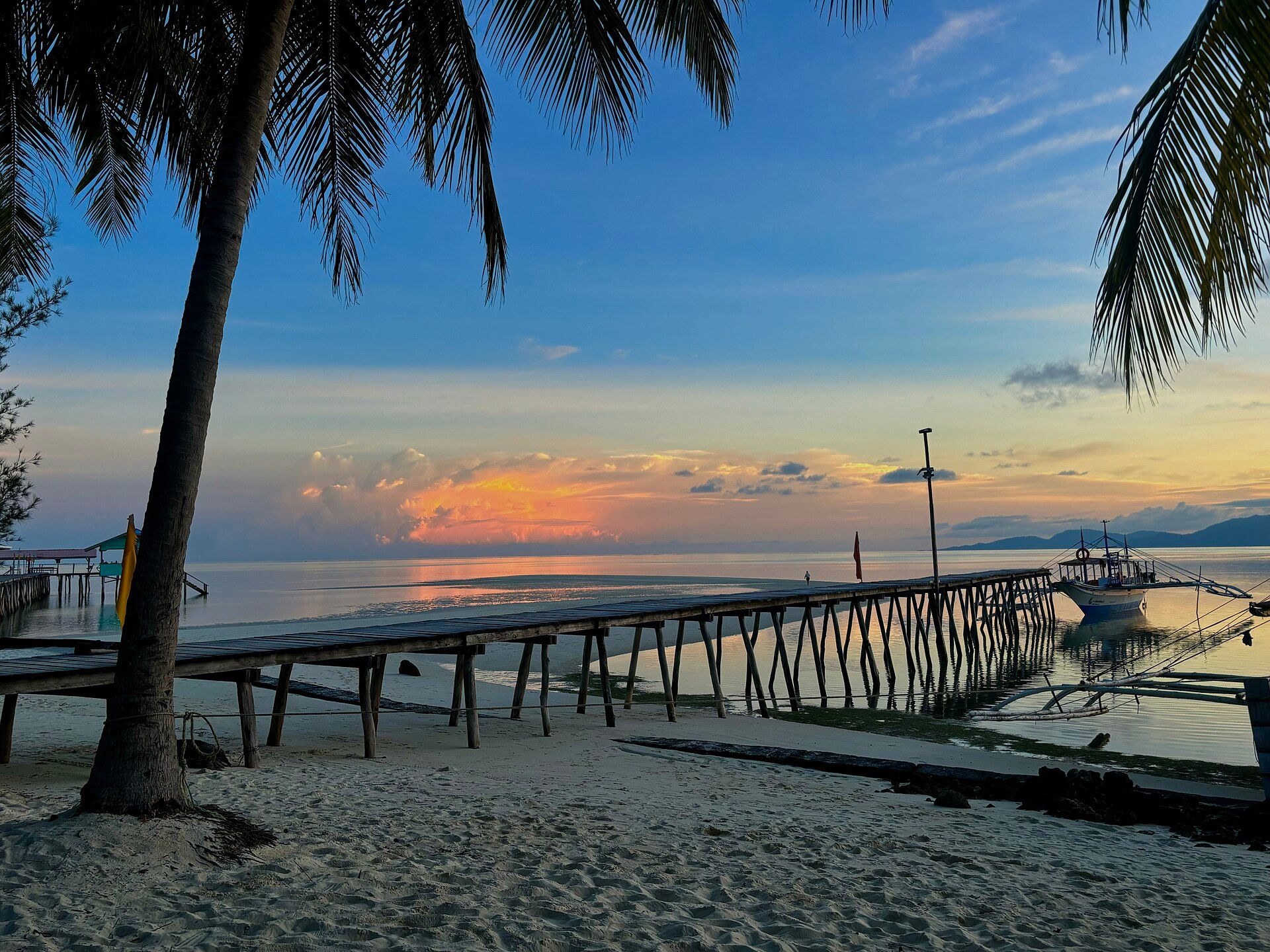
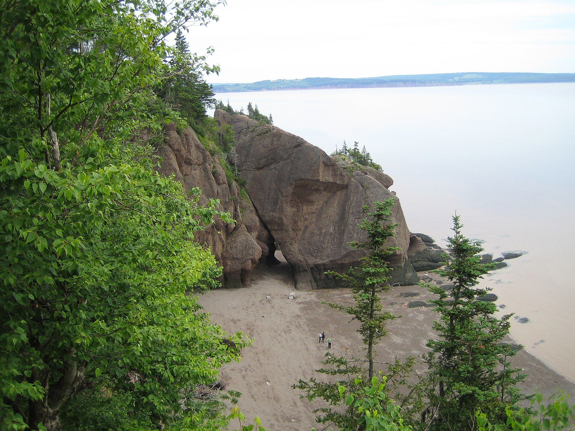
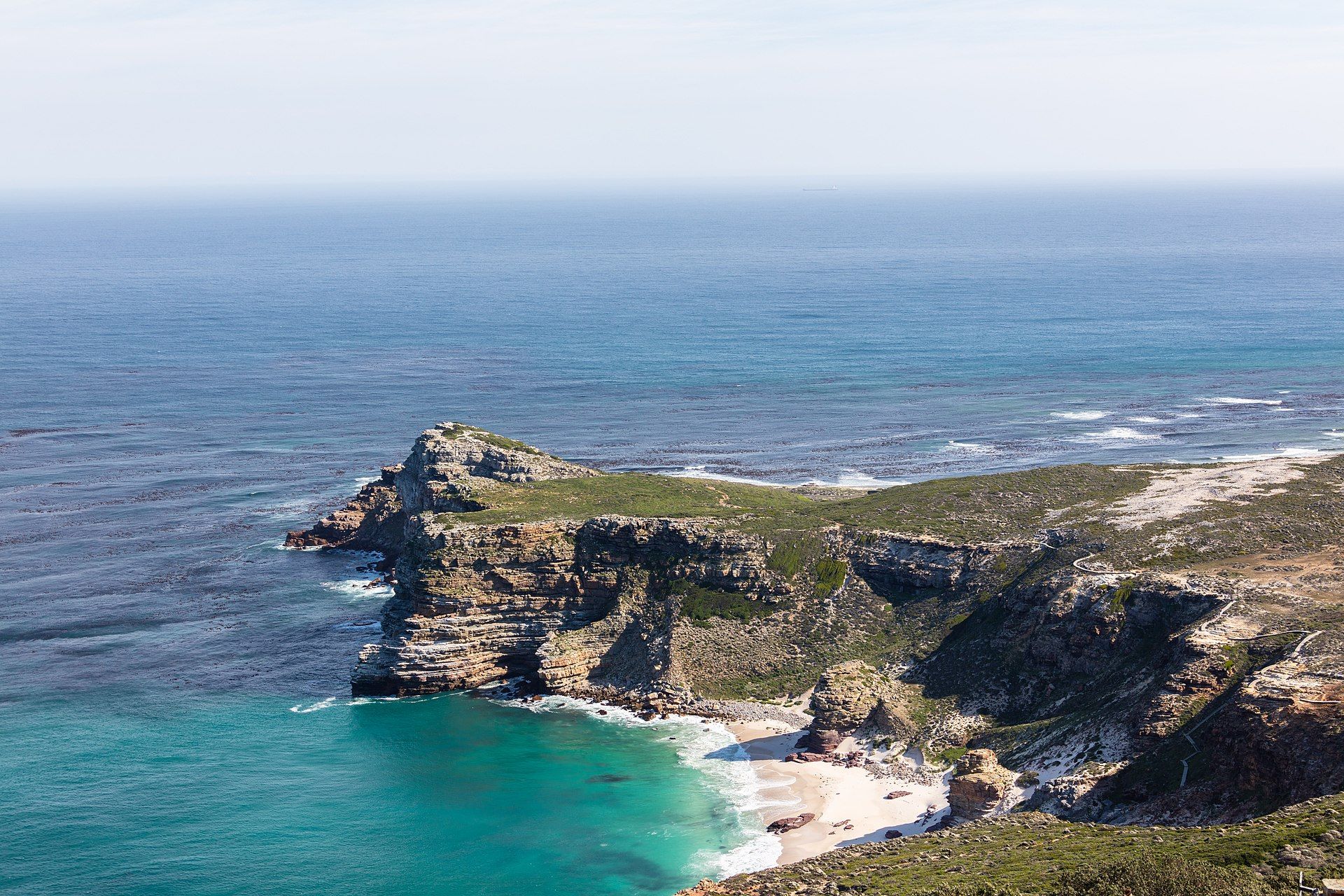
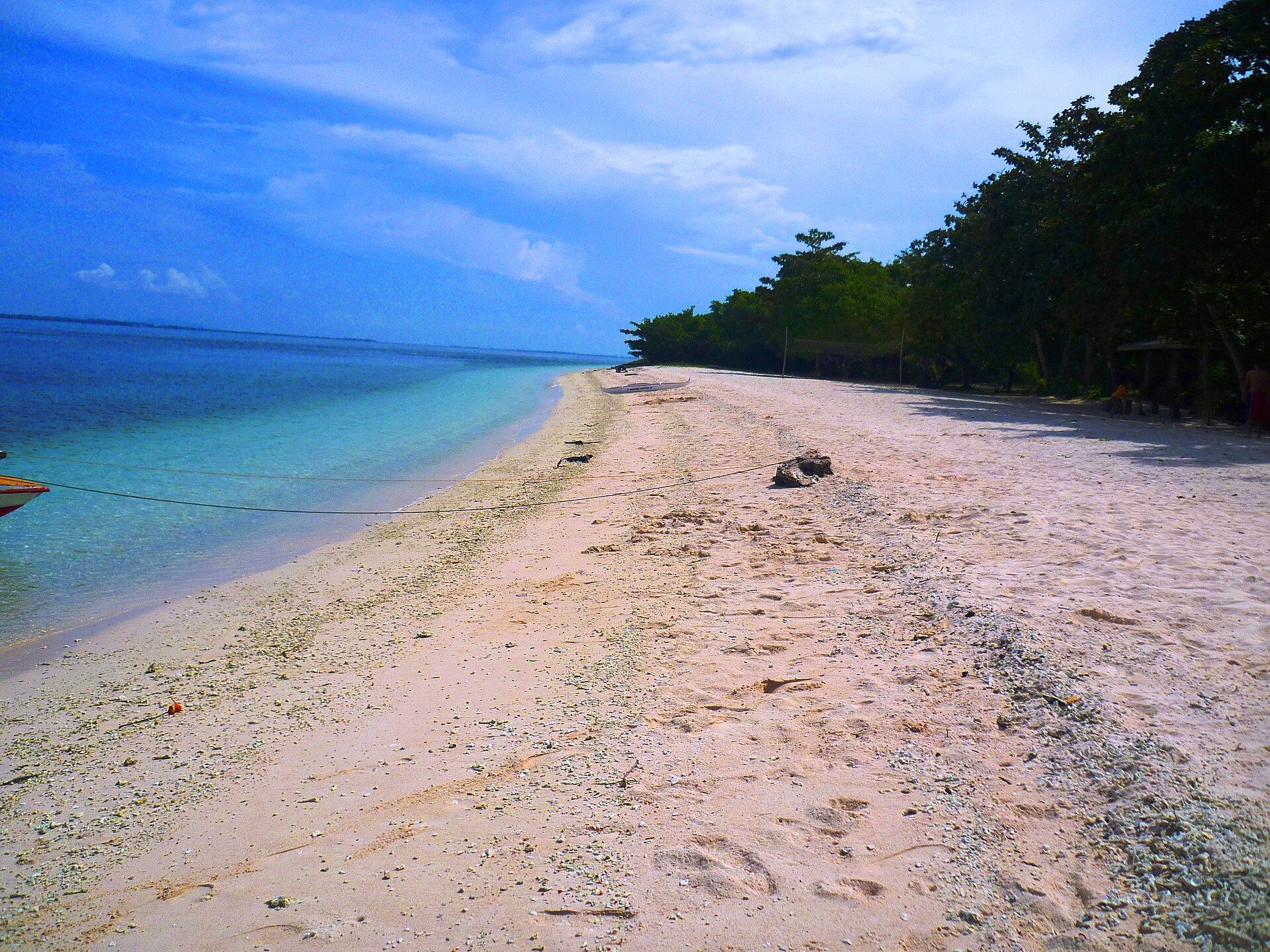
More views of Tayrona National Park
Additional photographs of the actual site — each freely licensed, with its photographer and licence credited.
What to know before you go
🗓️ Best time
The drier months from December to March and again in July and August bring the most reliable beach weather; the park usually closes for several weeks each year for ecological and cultural rest, so check dates before travelling.
🧭 Getting there & access
Reached from the city of Santa Marta by road to the main El Zaino entrance, then a walk or short shuttle and forest trail to the coast; some beaches are closed to swimming because of dangerous currents.
Good to know
- Several beaches, including parts of Cabo San Juan, have deadly rip currents — heed the no-swimming signs.
- Bring cash, water and insect repellent; there are no banks and few facilities inside the park.
- Respect the Indigenous communities and closure periods; the park periodically shuts for cultural rest.
Plan your visit
Moderate🧭 Getting there
From Santa Marta (airport SMR)
- From Santa Marta take a bus or taxi east to the El Zaino park entrance, roughly 1h depending on traffic
- Walk or take the shuttle to Cañaveral, then hike forest trails to Arrecifes and Cabo San Juan
- Total travel
- A long day trip, or better an overnight from Santa Marta
- Time at site
- Half a day minimum; two to three days to explore fully
- Access
- Entry fee and timed opening hours; the park closes for several weeks a year for ecological and cultural rest, so confirm dates with the park authority.
🎒 What to bring & consider
- Sturdy shoes for hot, muddy forest trails
- Plenty of drinking water and cash for inside the park
- Strong insect repellent and sun protection
- A swimsuit, and awareness of which beaches are safe to swim
👁️ What to expect
- Crowds
- Popular in Colombian and international high season; early entry beats the crowds and the midday heat.
- Conditions
- Humid rainforest walking to reach the beaches, with roots, mud and stream crossings.
- Facilities
- Campsites, hammocks and simple food stalls at the main beaches; little else.
- The view
- The boulder-framed cove of Cabo San Juan from the little headland lookout.
Times and requirements are approximate and change with season, weather, and local rules — confirm permits, fares, and schedules with operators before you travel.
Natural riches of the area
- Caribbean coves backed by tropical rainforest
- Giant granite boulders shaping the shoreline
- Coral, seagrass and rich marine life offshore
- The foothills of the Sierra Nevada de Santa Marta
Local food
- Pescado frito
- Whole fried fish served with coconut rice and fried plantain on the coast.
- Arroz con coco
- Caribbean rice cooked in coconut milk, a Santa Marta staple.
- Patacones
- Twice-fried green plantain, salted and eaten with everything.
Tayrona National Natural Park is where the highest coastal mountain range on Earth meets the Caribbean. For about 30 kilometres, the jungled foothills of the Sierra Nevada de Santa Marta drop to a shoreline of golden coves and warm blue water, punctuated by rounded granite boulders as big as houses standing in the surf. Behind the beaches, rainforest hums with howler monkeys, toucans and hundreds of other birds, while coral and seagrass shelter life just offshore.
The park is far more than a beach. It is the ancestral territory of the Kogi, Wiwa and other peoples descended from the Tayrona civilisation, who still live and cultivate within and above the park. Ruined stone terraces and paths hint at the sophisticated society that once flourished here, and the modern communities’ presence gives Tayrona a depth that few coastal parks can match.
Visiting means walking. Forest trails lead from the entrance to celebrated bays such as Arrecifes, La Piscina and Cabo San Juan del Guía, where a thatched lookout crowns a rocky point between two perfect beaches. Some coves are safe for swimming and others hide lethal rip currents, so the signs matter. Many travellers stay a night in a hammock or tent, waking to the sound of the sea and the forest — a reminder that here, mountain, jungle and ocean are all one place.
Tayrona National Park: common questions
How do you get to Tayrona National Park?
From Santa Marta (airport SMR): From Santa Marta take a bus or taxi east to the El Zaino park entrance, roughly 1h depending on traffic; Walk or take the shuttle to Cañaveral, then hike forest trails to Arrecifes and Cabo San Juan. Total travel time: A long day trip, or better an overnight from Santa Marta.
When is the best time to visit Tayrona National Park?
The drier months from December to March and again in July and August bring the most reliable beach weather; the park usually closes for several weeks each year for ecological and cultural rest, so check dates before travelling.
How long should you spend at Tayrona National Park?
Half a day minimum; two to three days to explore fully. Total travel time: A long day trip, or better an overnight from Santa Marta.
What should you bring to Tayrona National Park?
Sturdy shoes for hot, muddy forest trails Plenty of drinking water and cash for inside the park Strong insect repellent and sun protection A swimsuit, and awareness of which beaches are safe to swim
Do you need a permit or guide for Tayrona National Park?
Entry fee and timed opening hours; the park closes for several weeks a year for ecological and cultural rest, so confirm dates with the park authority.
Is Tayrona National Park crowded, and what are conditions like?
Popular in Colombian and international high season; early entry beats the crowds and the midday heat. Humid rainforest walking to reach the beaches, with roots, mud and stream crossings. Facilities: Campsites, hammocks and simple food stalls at the main beaches; little else.
Added Updated