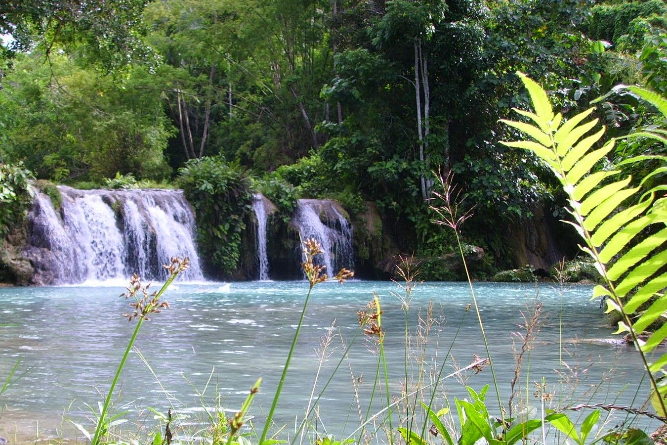
Palaui Island
📍 Santa Ana, Cagayan, Northern Luzon
A wild, protected island off the northeastern tip of Luzon — rolling green headlands, empty beaches, and a Spanish-era lighthouse on the dramatic Cape Engaño cliffs above the meeting of two seas.
What makes it marvelous
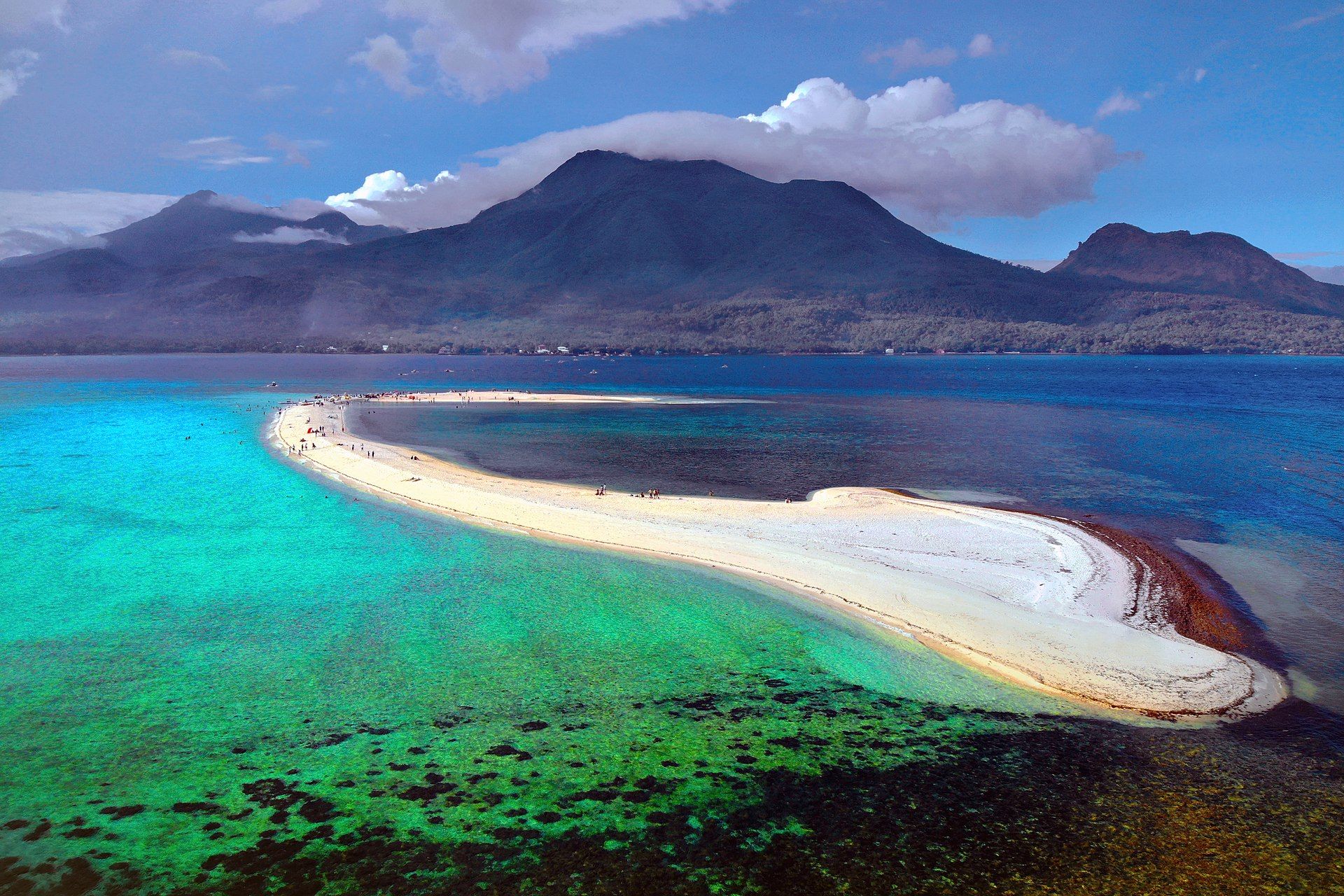
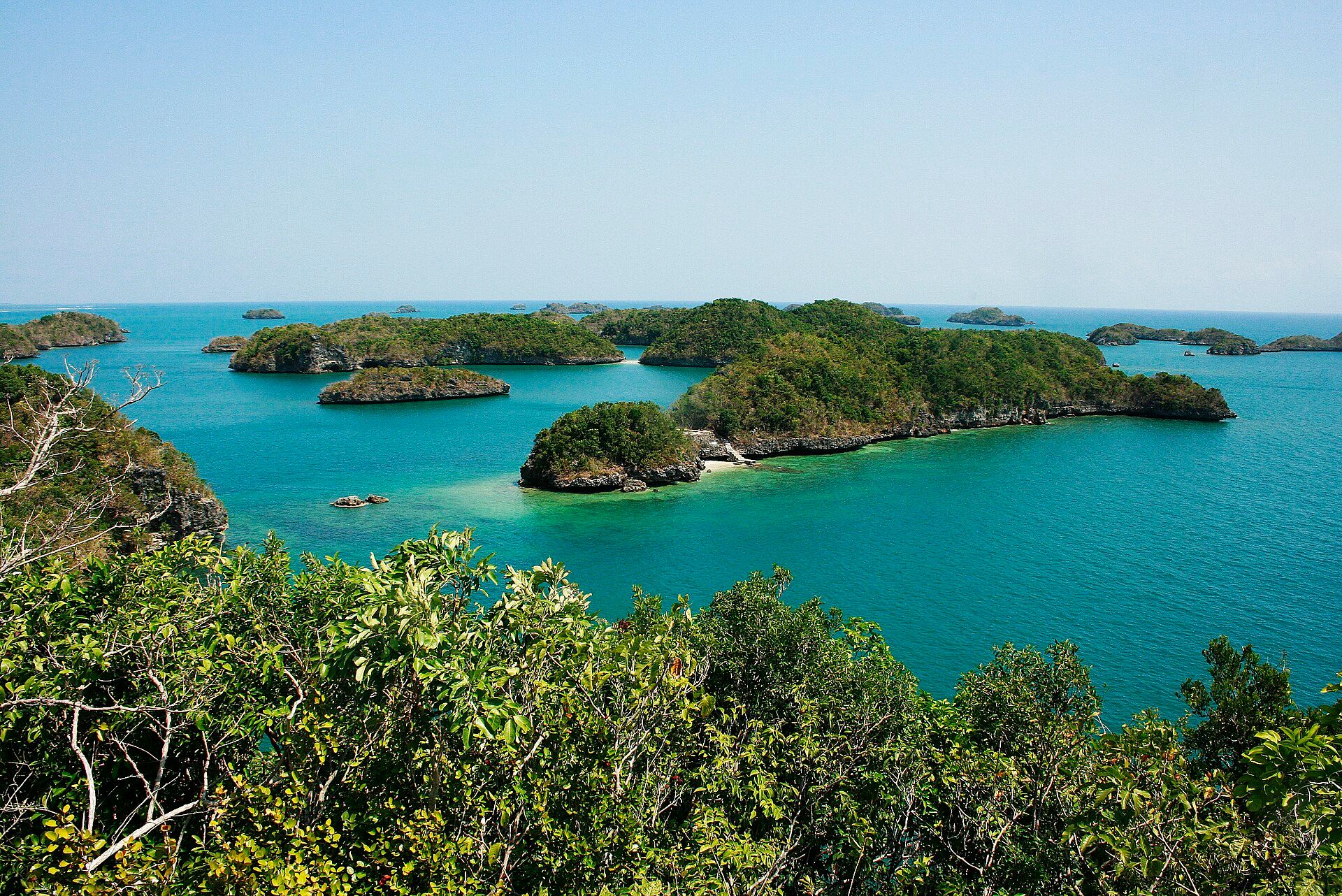
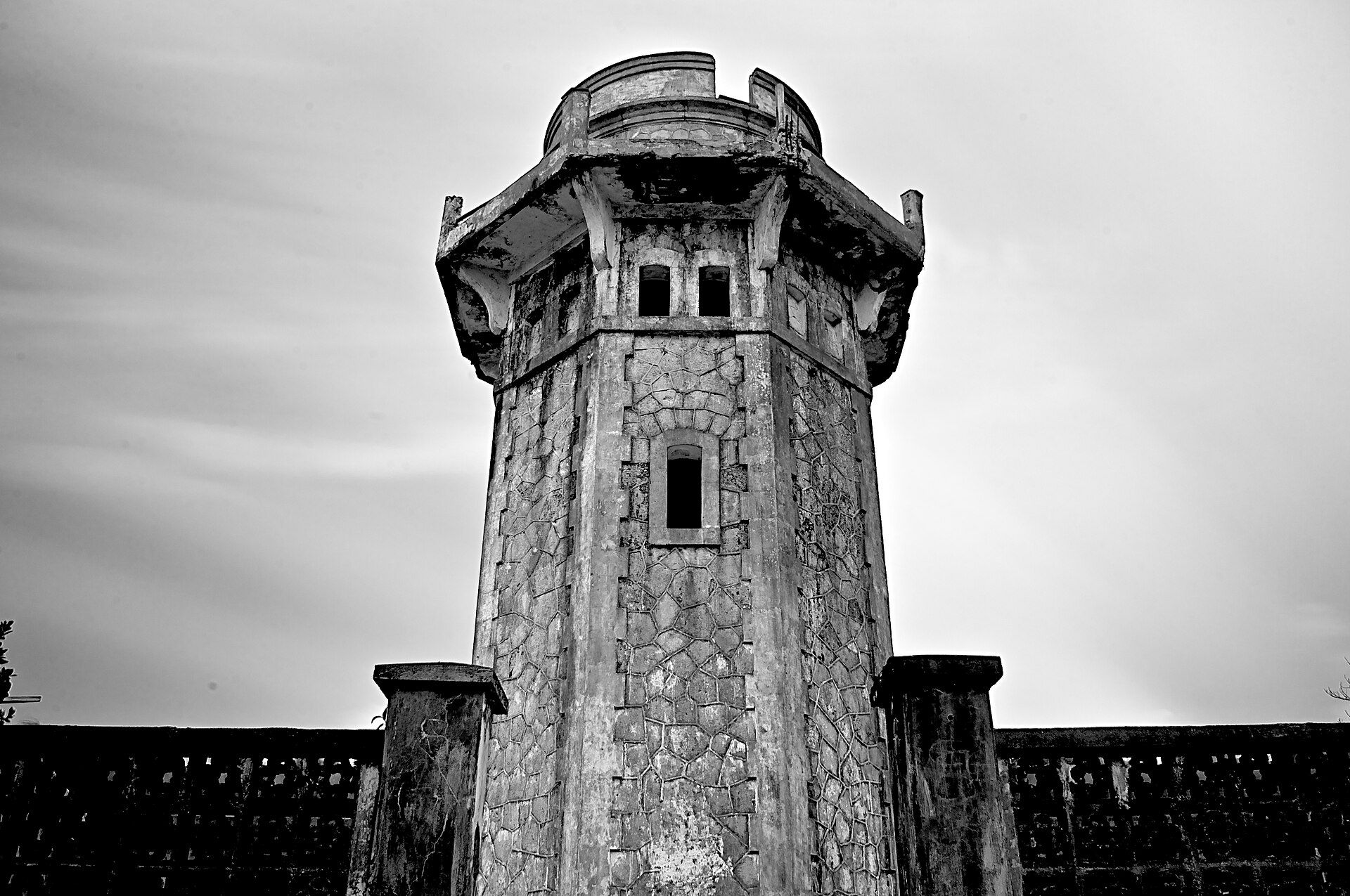
Palaui is a rugged volcanic island cloaked in forest and grassland, ringed by rocky headlands and quiet coves where the Pacific meets the Babuyan Channel. Its emblem is the Cape Engaño lighthouse (1892), perched on a bluff with sweeping views over offshore islets and churning seas. As a protected landscape and seascape with no resorts, Palaui has stayed refreshingly untamed — a place of hiking trails, coral coves, and community-run tourism.
Why visit
It's the raw, end-of-the-country feel: trekking across rolling headlands to a historic lighthouse above wild coastline, snorkelling in clear coves, and camping under dark skies far from development. Its untouched beauty even made it a filming location for an international TV series.
What to know before you go
🗓️ Best time
The dry months (roughly March–May) for calm crossings and clear trails; the north can be rough and typhoon-prone later in the year.
🧭 Getting there & access
From Santa Ana, Cagayan (reached via Tuguegarao), by boat to Palaui. Trips are arranged through the local community; guides and modest fees apply. Facilities are basic.
Good to know
- Hike to the Cape Engaño lighthouse for the island's signature view.
- Bring your own supplies and camp gear; there are no resorts.
- Support the community-run tourism and pack out all waste.
Plan your visit
Moderate🧭 Getting there
From Santa Ana, Cagayan
- Fly Manila → Tuguegarao (TUG) — roughly 1h
- Van Tuguegarao → Santa Ana — about 3h–4h
- Boat San Vicente port → Palaui — roughly 30–45 minutes
- Trek or boat to Cape Engaño lighthouse — about 2h on foot from Punta Verde
- Total travel
- A long day from Manila
- Time at site
- An overnight in a homestay is the way to do it
- Access
- A protected landscape and seascape, with registration, fees and a mandatory guide arranged at the Santa Ana tourism office before you sail. The crossing is exposed to the northeast monsoon and is routinely cancelled from around November through February — the sea, not the office, decides whether you go. Confirm the current position with Santa Ana tourism and the coastguard on the day.
🎒 What to bring & consider
- Spare days, since the amihan swell can close the crossing for a week and there is no alternative route
- A torch and a power bank — Palaui has no grid electricity and homestay generators run for a few hours only
- Sturdy shoes for the Leonardo trail, which is muddy, root-laced and steeper than its length suggests
- Cash for everything, brought from Tuguegarao
- Repellent for a trail that runs through dense coastal forest
👁️ What to expect
- Crowds
- Few people. Weekend groups from Tuguegarao, and very little else.
- Conditions
- Humid forest walking, exposed grassland at the cape, and a windy headland. Rough seas for much of the year.
- Facilities
- Homestays at Punta Verde with simple meals. Nothing at the cape.
- The view
- The ruined Spanish lighthouse on the grass headland at Cape Engaño with the Babuyan Channel behind. Late afternoon light and a clear day are the whole trick, and the wind up there is constant.
Times and requirements are approximate and change with season, weather, and local rules — confirm permits, fares, and schedules with operators before you travel.
Natural riches of the area
- Volcanic headlands, forest, and grassland
- Coral coves and clear coastal waters
- Seabird and marine life at the meeting of two seas
- Community-managed protected landscape and seascape
Local food
- Fresh seafood
- Crab, fish, and shellfish from the rich northern waters.
- Ludong (when in season)
- The prized 'president's fish' of the Cagayan River region.
- Carabao-milk sweets
- Pastillas and dairy treats from the Cagayan Valley.
Palaui feels like the edge of the country, because it very nearly is — a wild island off the northeastern tip of Luzon where the Pacific meets the Babuyan Channel. Rolling green headlands drop to rocky coves and empty beaches, and on a windswept bluff stands the Cape Engaño lighthouse, built by the Spanish in 1892, gazing out over offshore islets and restless seas.
What makes Palaui special is what it lacks: there are no resorts, no crowds, just a protected landscape managed with the local community. You reach it by boat, hike its trails to the lighthouse, snorkel its coral coves, and camp under genuinely dark skies. Its untouched beauty has drawn filmmakers, but it remains, at heart, one of the last truly wild corners of northern Luzon — best visited slowly, and left exactly as you found it.
Palaui Island: common questions
How do you get to Palaui Island?
From Santa Ana, Cagayan: Fly Manila → Tuguegarao (TUG) — roughly 1h; Van Tuguegarao → Santa Ana — about 3h–4h; Boat San Vicente port → Palaui — roughly 30–45 minutes; Trek or boat to Cape Engaño lighthouse — about 2h on foot from Punta Verde. Total travel time: A long day from Manila.
When is the best time to visit Palaui Island?
The dry months (roughly March–May) for calm crossings and clear trails; the north can be rough and typhoon-prone later in the year.
How long should you spend at Palaui Island?
An overnight in a homestay is the way to do it. Total travel time: A long day from Manila.
What should you bring to Palaui Island?
Spare days, since the amihan swell can close the crossing for a week and there is no alternative route A torch and a power bank — Palaui has no grid electricity and homestay generators run for a few hours only Sturdy shoes for the Leonardo trail, which is muddy, root-laced and steeper than its length suggests Cash for everything, brought from Tuguegarao Repellent for a trail that runs through dense coastal forest
Do you need a permit or guide for Palaui Island?
A protected landscape and seascape, with registration, fees and a mandatory guide arranged at the Santa Ana tourism office before you sail. The crossing is exposed to the northeast monsoon and is routinely cancelled from around November through February — the sea, not the office, decides whether you go. Confirm the current position with Santa Ana tourism and the coastguard on the day.
Is Palaui Island crowded, and what are conditions like?
Few people. Weekend groups from Tuguegarao, and very little else. Humid forest walking, exposed grassland at the cape, and a windy headland. Rough seas for much of the year. Facilities: Homestays at Punta Verde with simple meals. Nothing at the cape.
Added Updated
More wonders to explore