Isalo National Park
📍 Ihorombe Region, southwestern Madagascar, near Ranohira
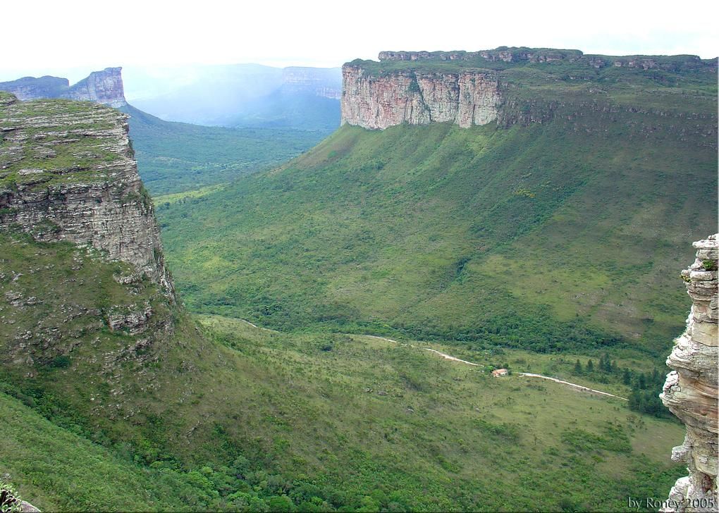
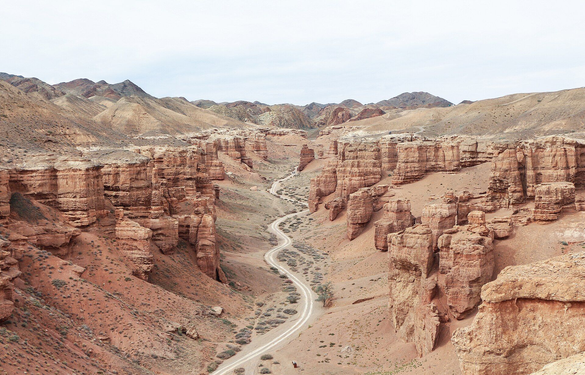
A sandstone massif carved into canyons up to 200 m deep, plateaus and natural swimming pools in southwestern Madagascar — home to ring-tailed lemurs and plants found nowhere else.
What makes it marvelous
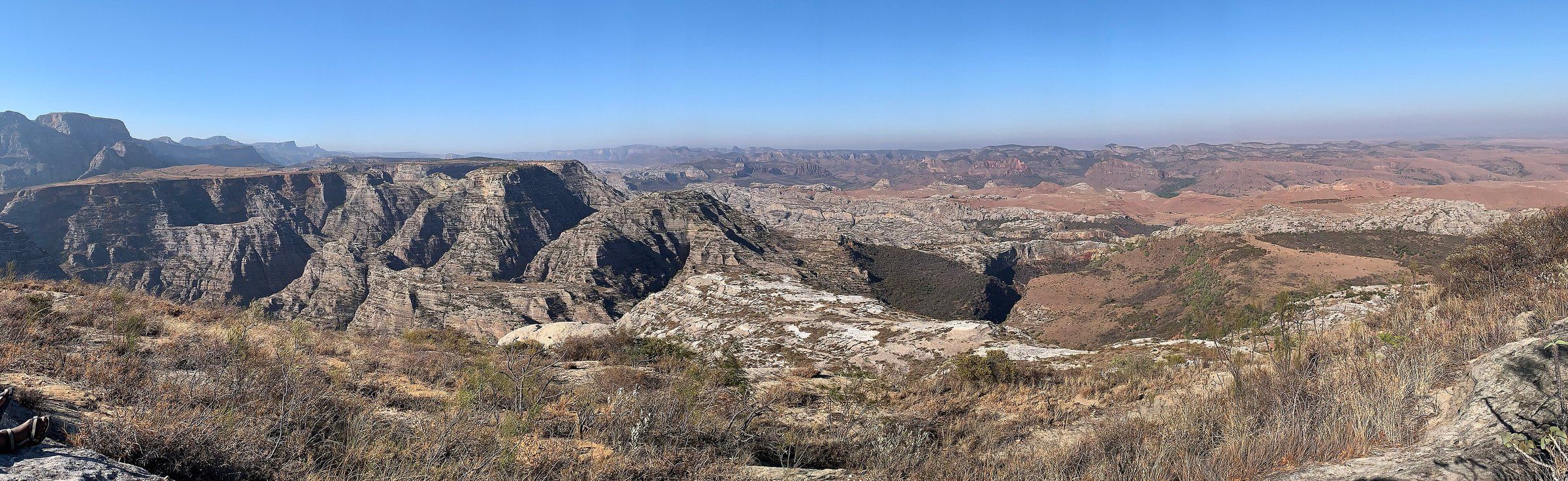
Isalo protects about 815 km² of the Isalo Group sandstone, laid down in the Triassic to early Jurassic and since carved by wind and water into canyons up to 200 m deep, ridges and eroded plateaus. Elevations range from about 510 to 1,268 m, and thirteen of the park's plants grow nowhere else on Earth, among them the elephant's foot (Pachypodium).
Why visit
Hikes lead from dry, sculpted plateaus down into green canyons with waterfalls and natural pools you can swim in. Along the way, ring-tailed lemurs and Verreaux's sifakas are active by day.
What to know before you go
🗓️ Best time
The cooler, drier months of the southern winter; June is the driest month.
🧭 Getting there & access
Ranohira, beside the park, is the base. The nearest cities are Toliara and Ihosy. The park is managed by Madagascar National Parks, and walks are made with local guides.
Good to know
- Bring swimwear for the natural pools.
- Start hikes early to avoid the midday heat on the plateaus.
- Look for ring-tailed lemurs in the canyons.
Plan your visit
Moderate🧭 Getting there
From Toliara (TLE), Madagascar
- Fly to Toliara, or travel overland from Antananarivo
- Drive to Ranohira, beside the park
- Hike with a local guide into the canyons and pools
- Total travel
- A long day by road from Toliara
- Time at site
- 2–3 days
- Access
- Park entry fees apply and walks are made with local guides from Ranohira.
🎒 What to bring & consider
- Good walking shoes
- Swimwear for the natural pools
- Sun protection and plenty of water
- A local guide
👁️ What to expect
- Crowds
- Moderate on the popular canyon-and-pool circuits.
- Conditions
- Hot and dry by day; cool nights in winter.
- Facilities
- Lodges and campsites around Ranohira.
- The view
- The eroded sandstone massif from a plateau viewpoint, layered ridges fading into haze.
Times and requirements are approximate and change with season, weather, and local rules — confirm permits, fares, and schedules with operators before you travel.
Natural riches of the area
- Sandstone canyons up to 200 m deep
- Natural swimming pools and waterfalls
- Thirteen plant species found only in Isalo
- Ring-tailed lemurs and Verreaux's sifakas
Local food
- Romazava
- Madagascar's national dish — a broth of meat and greens served with rice.
- Zebu skewers
- Grilled meat of the humped cattle that graze southern Madagascar.
Isalo is Madagascar’s Wild West: a sandstone massif in the southwest of the island, cut by wind and water into canyons, ridges and flat-topped plateaus. Protected since 1962 and covering about 815 km², it shows rock laid down in the Triassic and early Jurassic, now worn into gorges up to 200 m deep.
The contrast is what makes it. On the plateaus the land is dry and open, dotted with the stubby elephant’s foot plant — one of thirteen species that grow only here. Drop into the canyons and you find streams, waterfalls and clear natural pools shaded by greenery, perfect for a swim after a hot walk. Ring-tailed lemurs and Verreaux’s sifakas move through by day.
Ranohira, at the edge of the park, is the base for guided hikes. Start early, carry water, and pack something to swim in.
Isalo National Park: common questions
How do you get to Isalo National Park?
From Toliara (TLE), Madagascar: Fly to Toliara, or travel overland from Antananarivo; Drive to Ranohira, beside the park; Hike with a local guide into the canyons and pools. Total travel time: A long day by road from Toliara.
When is the best time to visit Isalo National Park?
The cooler, drier months of the southern winter; June is the driest month.
How long should you spend at Isalo National Park?
2–3 days. Total travel time: A long day by road from Toliara.
What should you bring to Isalo National Park?
Good walking shoes Swimwear for the natural pools Sun protection and plenty of water A local guide
Do you need a permit or guide for Isalo National Park?
Park entry fees apply and walks are made with local guides from Ranohira.
Is Isalo National Park crowded, and what are conditions like?
Moderate on the popular canyon-and-pool circuits. Hot and dry by day; cool nights in winter. Facilities: Lodges and campsites around Ranohira.
Added
More wonders to explore