El Nido & the Bacuit Archipelago
📍 El Nido, Palawan, Philippines
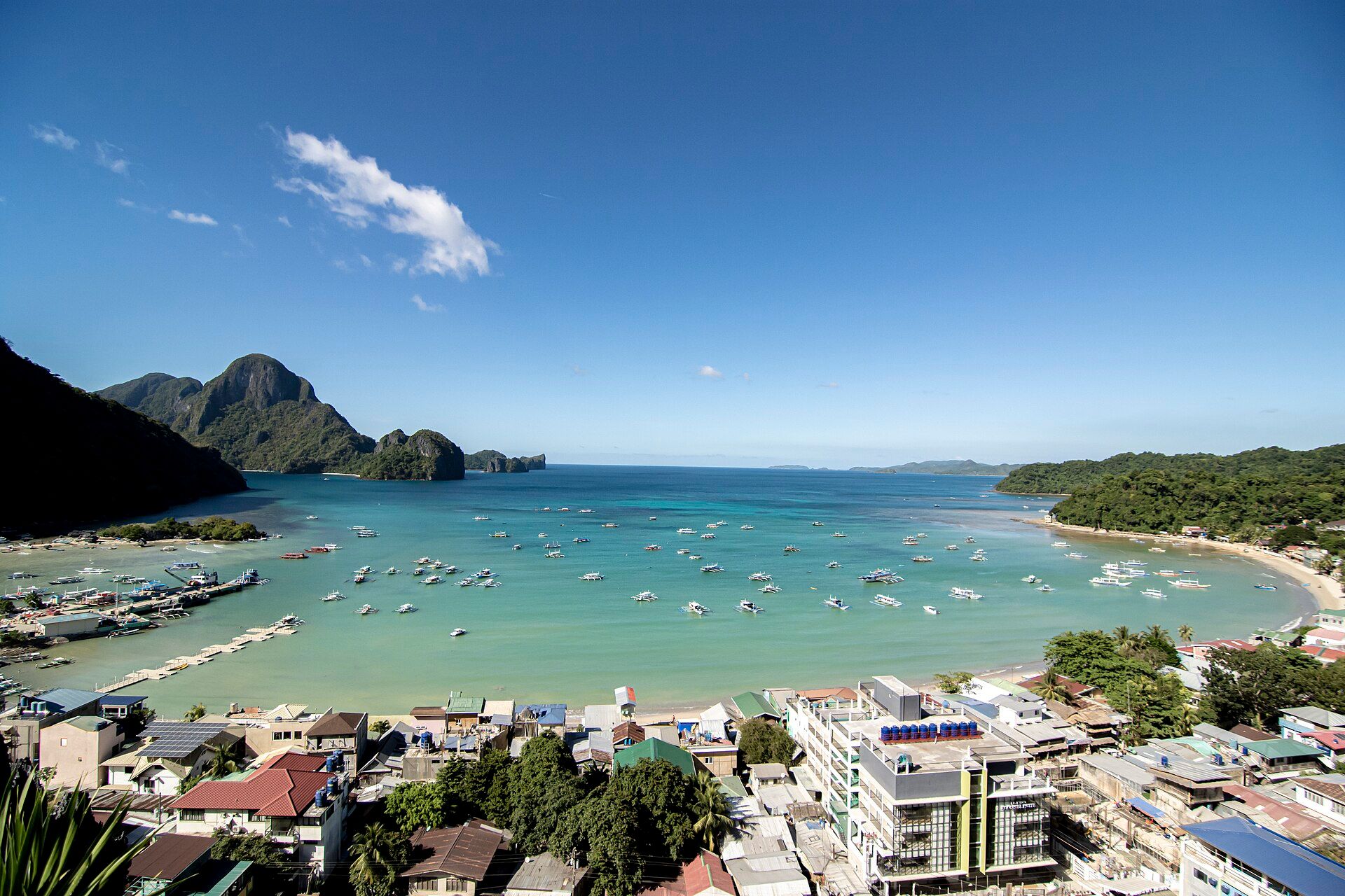
A bay scattered with dozens of jagged limestone islands, hidden lagoons reached through narrow rock gaps, white beaches, and clear turquoise water — one of the most spectacular karst seascapes in the world.
What makes it marvelous
The towering black-and-grey cliffs of the Bacuit Archipelago are Permian limestone, more than 250 million years old, sculpted by rain and sea into razor ridges, sea caves, and enclosed lagoons. Sheer walls rise straight from the water; inside some islands, hidden lagoons open only through gaps you swim or paddle through at the right tide.
Why visit
Island-hopping here is a sequence of reveals: a boat noses through a crack in a cliff and a silent emerald lagoon opens up; a beach appears with no way in but the sea. Add coral reefs, sea turtles, and sunsets behind the karst towers, and it is a place that rearranges your sense of what a coastline can be.
Still deciding?
El Nido & the Bacuit Archipelago comes up most often against one other place — each one weighs cost, effort, season and crowds side by side.
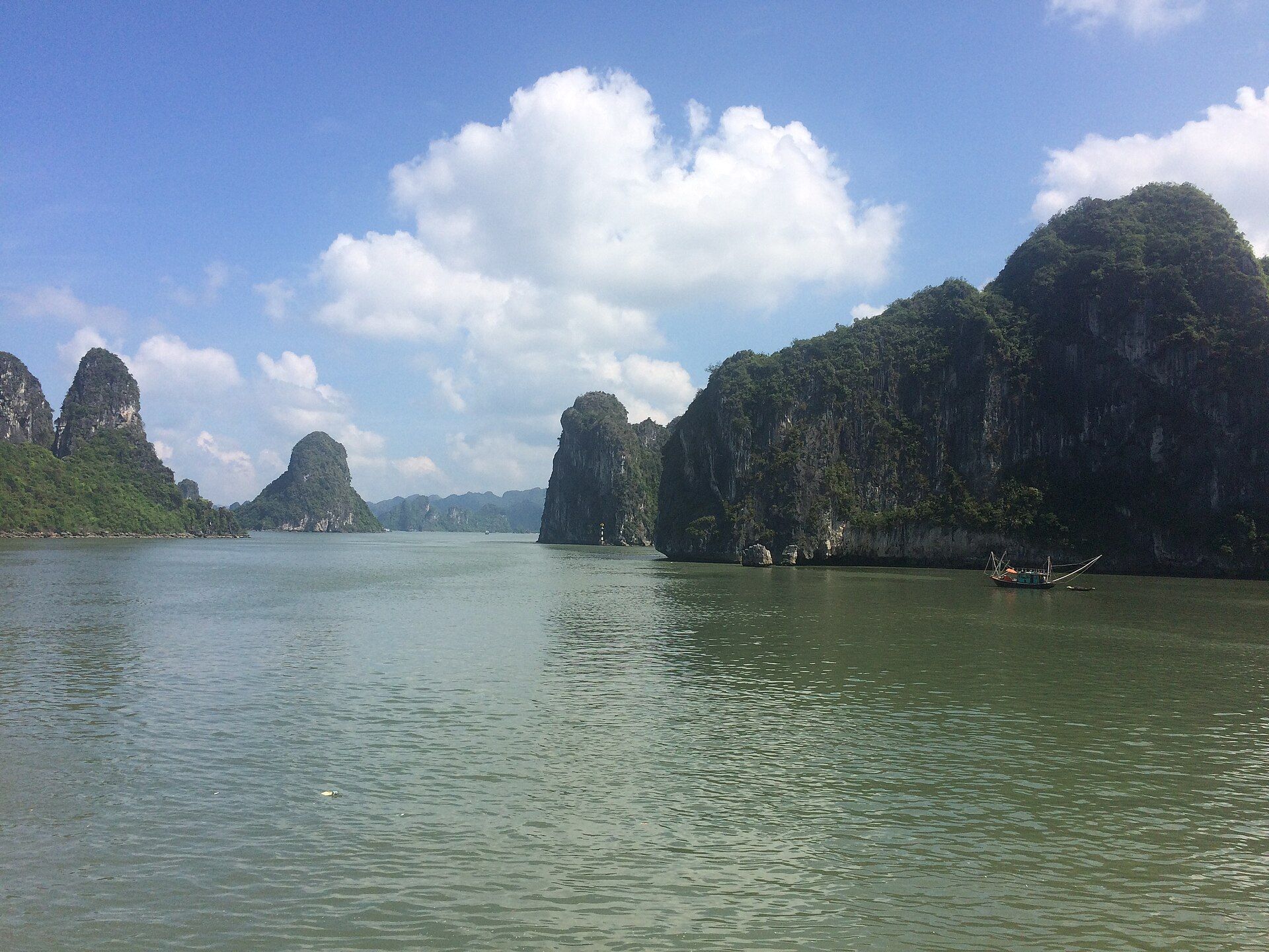
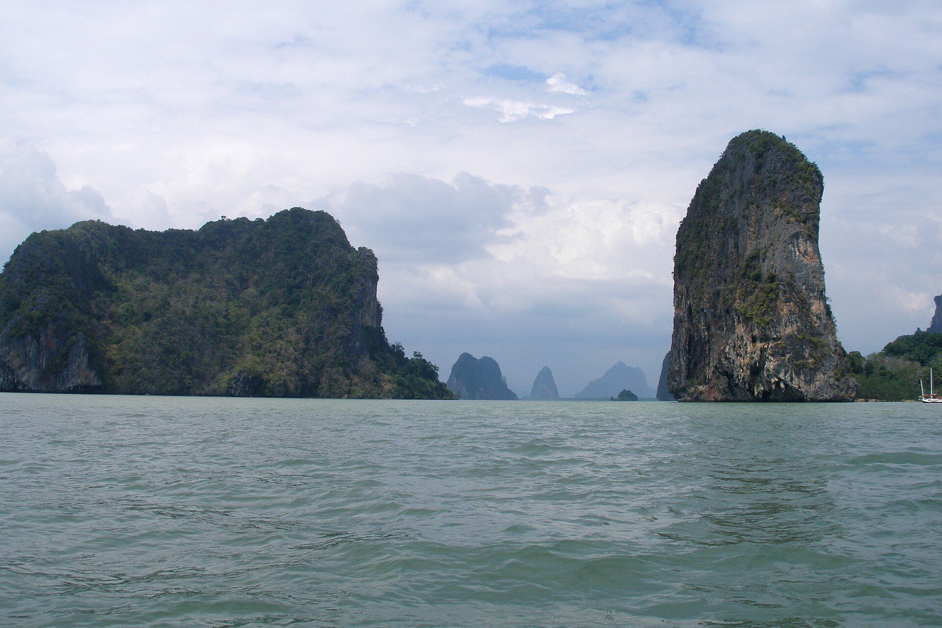
More views of El Nido & the Bacuit Archipelago
Additional photographs of the actual site — each freely licensed, with its photographer and licence credited.
What to know before you go
🗓️ Best time
December to May, the dry season, for calm water and clear lagoons. Peak visibility and weather are typically March–May. June–October brings rain and rougher seas.
🧭 Getting there & access
Fly to El Nido (small airport) or Puerto Princesa (then a 5–6 hour van north). Standardised island-hopping tours (A, B, C, D) run daily by boat from El Nido town; environmental and lagoon-entry fees apply.
Good to know
- Book the Big and Small Lagoon early — entry is limited and timed to protect them.
- Bring reef-safe sunscreen; regular sunscreen is discouraged and sometimes banned.
- Go by kayak in the lagoons where motorboats aren't allowed — it's quieter and gentler on the reef.
Plan your visit
Easy🧭 Getting there
From El Nido (ENI) or Puerto Princesa (PPS), Palawan
- Fly Manila to El Nido direct — about 1h20 — or Manila to Puerto Princesa
- If via Puerto Princesa: van north to El Nido — roughly 5–6h on a long, winding road
- Island-hopping boats depart from the El Nido town beach
- Total travel
- Half a day flying direct; a full day via Puerto Princesa
- Time at site
- Minimum 2–3 days to cover the main island-hopping tours
- Access
- An El Nido environmental fee is required and is checked on tours. Island-hopping runs as standardised Tour A/B/C/D packages; some lagoons carry separate fees and capacity limits.
🎒 What to bring & consider
- Reef-safe sunscreen plus a rash guard — you are on open boats for hours with little shade
- Dry bag for phone and cash; boats are wet and you wade ashore
- Water shoes for sharp limestone and coral fragments
- Plenty of cash — ATMs in town are few and often out of service
- Motion-sickness tablets; afternoon seas are frequently rough
👁️ What to expect
- Crowds
- Very busy at the famous lagoons in peak season, especially midday when all the boats converge. Early tours are markedly quieter.
- Conditions
- Wet landings, strong sun, and open bangka boats. Some lagoons require kayaking in, which is an extra fee and effort.
- Facilities
- Good in El Nido town; minimal on the islands beyond basic toilets and lunch cooked aboard.
- The view
- Big Lagoon at slack water on a clear morning is the classic. Weather dictates everything — tours are cancelled outright in bad seas, so build in spare days.
Times and requirements are approximate and change with season, weather, and local rules — confirm permits, fares, and schedules with operators before you travel.
Natural riches of the area
- 250-million-year-old Permian limestone karst cliffs and sea caves
- Fringing coral reefs and seagrass beds
- Green and hawksbill sea turtles, and dugong in nearby waters
- Swiftlets nesting in the cliffs — the source of the town's name (el nido, 'the nest')
Local food
- Grilled fresh fish
- Whatever the boats landed that morning — tuna, grouper, squid — grilled over coconut husk.
- Kinilaw na tanigue
- Spanish mackerel cured in vinegar, calamansi, ginger, and chilli.
- Halo-halo
- Shaved ice layered with sweet beans, fruit, leche flan, and ube — the Filipino answer to tropical heat.
The Bacuit Archipelago is what happens when an ancient reef becomes a mountain range and then meets the sea. The islands are limestone laid down over 250 million years ago, later uplifted and carved by rain and waves into blade-thin ridges, caves, and enclosed lagoons. From a boat they look like a drowned mountain range, cliffs dropping sheer into impossibly clear water.
The joy of El Nido is discovery. Tours thread between islands to beaches with no land access and lagoons hidden inside the rock, some reached only by swimming or paddling through a narrow gap when the tide is right. Beneath the surface, reefs and seagrass support turtles and a wealth of fish.
The area is a managed protected zone, and it needs the care: its popularity is real. Visited gently — reef-safe sunscreen, kayaks in the lagoons, fees that fund protection — it remains one of the great seascapes on Earth.
The island-hopping trips are standardised by letter, which makes planning simple: Tour A typically takes in the Big and Small Lagoons, the Secret Lagoon, and Seven Commandos Beach; Tour C runs to Hidden Beach, the Matinloc Shrine, and Helicopter Island. The Big and Small Lagoons are the headline stops and are now entered by kayak with a daily cap, so an early-morning slot is worth the earlier start — by mid-morning the boats stack up at the narrow entrance. Whichever tour you pick, the limestone here is razor-sharp and the reefs are shallow, so water shoes and reef-safe sunscreen do double duty for your feet and the coral.
El Nido & the Bacuit Archipelago: common questions
How do you get to El Nido & the Bacuit Archipelago?
From El Nido (ENI) or Puerto Princesa (PPS), Palawan: Fly Manila to El Nido direct — about 1h20 — or Manila to Puerto Princesa; If via Puerto Princesa: van north to El Nido — roughly 5–6h on a long, winding road; Island-hopping boats depart from the El Nido town beach. Total travel time: Half a day flying direct; a full day via Puerto Princesa.
When is the best time to visit El Nido & the Bacuit Archipelago?
December to May, the dry season, for calm water and clear lagoons. Peak visibility and weather are typically March–May. June–October brings rain and rougher seas.
How long should you spend at El Nido & the Bacuit Archipelago?
Minimum 2–3 days to cover the main island-hopping tours. Total travel time: Half a day flying direct; a full day via Puerto Princesa.
What should you bring to El Nido & the Bacuit Archipelago?
Reef-safe sunscreen plus a rash guard — you are on open boats for hours with little shade Dry bag for phone and cash; boats are wet and you wade ashore Water shoes for sharp limestone and coral fragments Plenty of cash — ATMs in town are few and often out of service Motion-sickness tablets; afternoon seas are frequently rough
Do you need a permit or guide for El Nido & the Bacuit Archipelago?
An El Nido environmental fee is required and is checked on tours. Island-hopping runs as standardised Tour A/B/C/D packages; some lagoons carry separate fees and capacity limits.
Is El Nido & the Bacuit Archipelago crowded, and what are conditions like?
Very busy at the famous lagoons in peak season, especially midday when all the boats converge. Early tours are markedly quieter. Wet landings, strong sun, and open bangka boats. Some lagoons require kayaking in, which is an extra fee and effort. Facilities: Good in El Nido town; minimal on the islands beyond basic toilets and lunch cooked aboard.
Added Updated
More wonders to explore