Vang Vieng
📍 Vientiane Province, central Laos
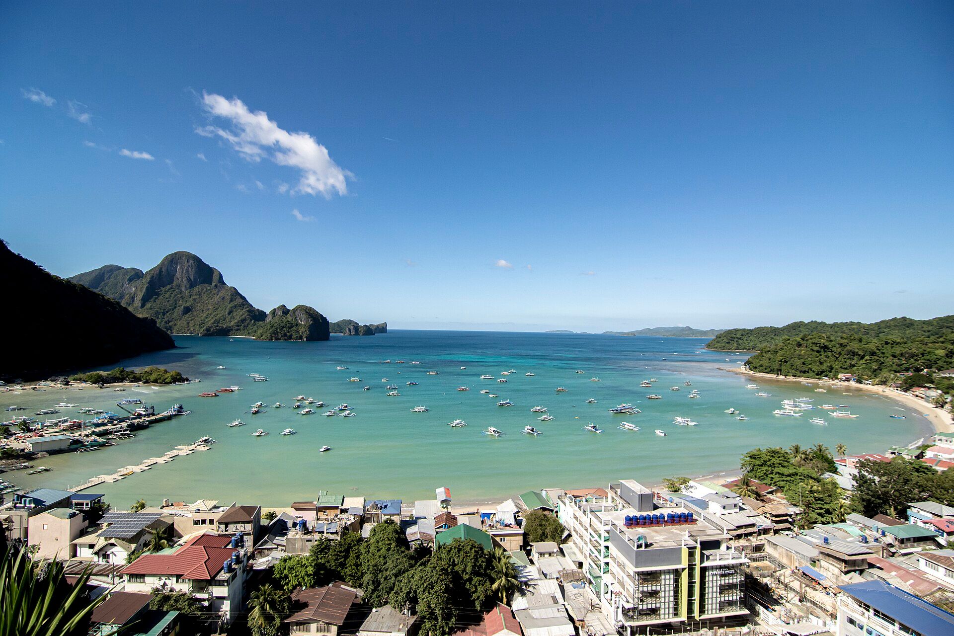
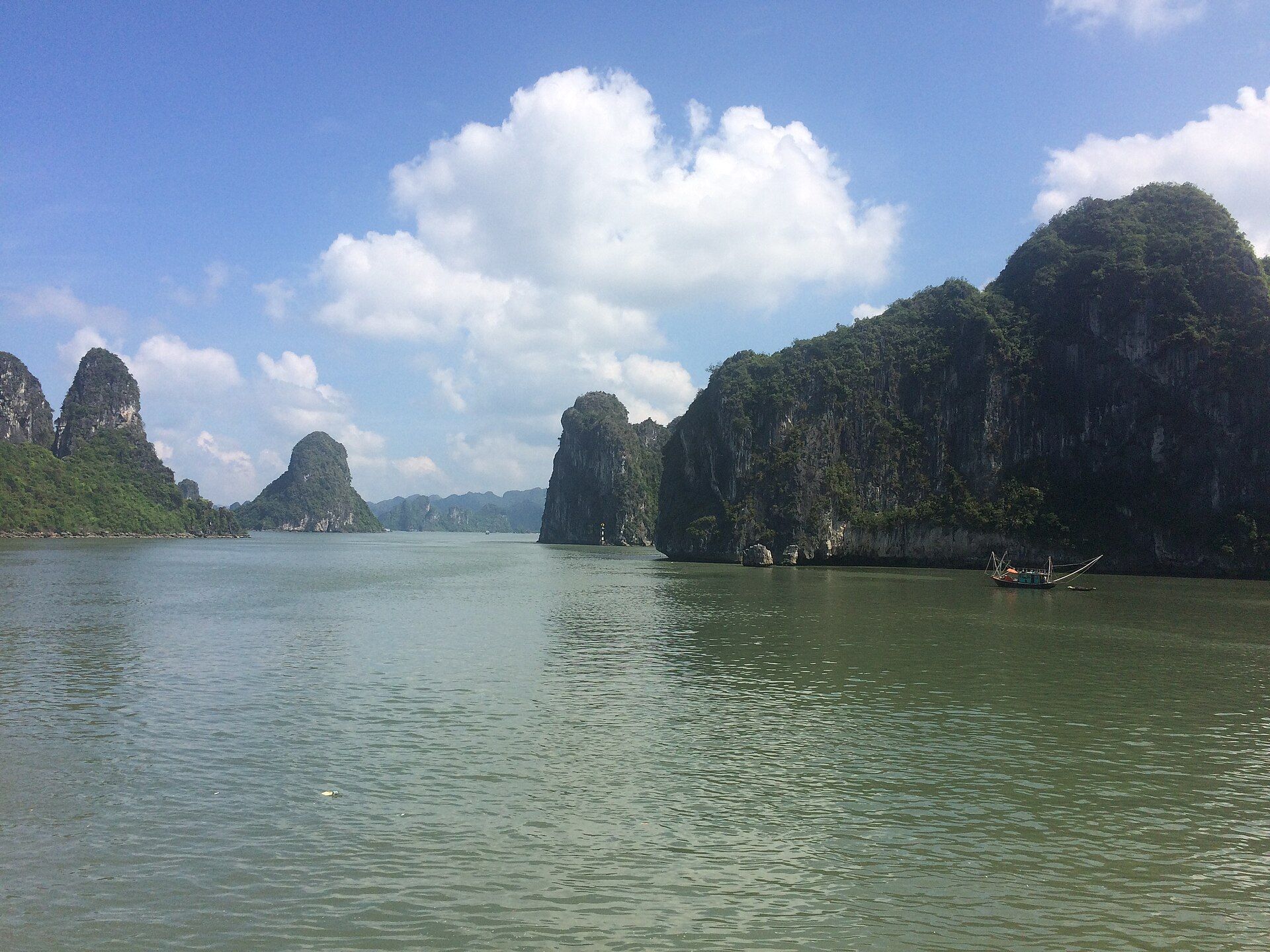
A dramatic landscape of sheer limestone karst peaks rising above the Nam Song river and green rice fields, riddled with caves and blue lagoons, in the hills north of Vientiane.
What makes it marvelous
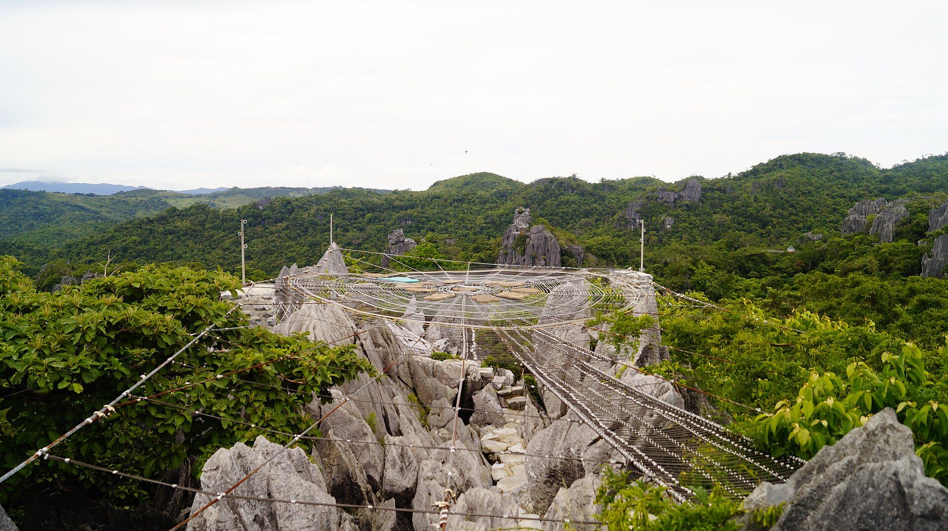
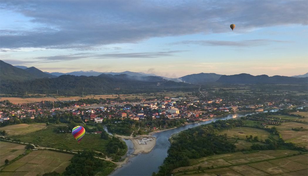
Vang Vieng sits in a bowl of classic tropical karst — towers and ridges of limestone, more than 200 million years old, that rise abruptly from the flat valley of the Nam Song river. Rain and groundwater have dissolved the rock over eons into a honeycomb of caves and passages, some holding underground rivers, while spring-fed 'blue lagoons' pool an intense turquoise at the base of the cliffs. Rice fields and the winding river fill the valley floor beneath the jagged skyline.
Why visit
The scenery is the draw: mist-wrapped karst peaks at dawn, hot-air balloons drifting over the valley, and viewpoints reached by short, steep climbs that reward you with the river curling between limestone towers. You can swim in the turquoise lagoons, explore caves by lamplight, kayak or float the Nam Song, and cycle through the fields — an adventurous, laid-back base amid some of the finest karst scenery in Laos.
What to know before you go
🗓️ Best time
November to March, the cool dry season, for clear skies, firm trails, and the bluest lagoons; the rainy months green the valley but cloud the water and swell the river.
🧭 Getting there & access
About 3–4 hours by road north of Vientiane, or a short hop on the fast train. The town sits right among the karst; caves, lagoons, and viewpoints lie a short cycle, tuk-tuk, or scooter ride into the surrounding countryside.
Good to know
- Climb a viewpoint like Nam Xay or Pha Ngern at dawn for the balloons and mist.
- Rent a bicycle or scooter to reach the quieter lagoons and caves beyond town.
- Bring a torch and grippy shoes for the caves, and swimwear for the lagoons.
Plan your visit
Easy🧭 Getting there
From Vientiane (VTE), central Laos
- Fly to Vientiane
- Road or the fast train north to Vang Vieng — roughly 1h by train, 3–4h by road
- Bicycle, scooter, or tuk-tuk out to the caves, lagoons, and viewpoints
- Total travel
- Half a day to reach from Vientiane
- Time at site
- 2–3 days to enjoy the viewpoints, caves, lagoons, and river
- Access
- The town and countryside are freely explored; individual caves and blue lagoons charge small local entry fees. Viewpoint climbs are steep and unregulated; river and balloon activities run through local operators.
🎒 What to bring & consider
- Grippy shoes for steep viewpoint climbs and cave floors
- A torch for the caves and swimwear for the lagoons
- Sun protection, water, and insect repellent
- Small cash for the many local entry fees
👁️ What to expect
- Crowds
- A popular travellers' hub; the town is lively, but the caves, fields, and further lagoons stay relatively quiet.
- Conditions
- Hot and humid; short but steep, rough climbs to viewpoints, and dark, muddy caves.
- Facilities
- Full range in town — guesthouses, cafés, rentals, and tour operators; basic in the countryside.
- The view
- Karst peaks and hot-air balloons over the Nam Song at sunrise from a viewpoint like Nam Xay. Dry-season mornings deliver the mist and the clearest air.
Times and requirements are approximate and change with season, weather, and local rules — confirm permits, fares, and schedules with operators before you travel.
Natural riches of the area
- Tropical limestone karst towers over 200 million years old
- Cave systems and underground rivers
- Spring-fed turquoise 'blue lagoons'
- The Nam Song river and its valley rice fields
Local food
- Larb
- A zesty Lao salad of minced meat, herbs, lime, and toasted rice.
- Khao piak sen
- A comforting Lao rice-noodle soup, a popular breakfast.
Vang Vieng has some of the most spectacular karst scenery in Laos, and after years as a rowdy party stop it has grown into a genuine outdoor-adventure base. Sheer limestone towers, more than 200 million years old, rise straight out of the flat valley of the Nam Song river, their flanks dissolved over eons into caves and passages — some carrying underground rivers — while spring-fed lagoons pool an electric turquoise at their feet.
The reward here is to get among it: climb a steep viewpoint at dawn as mist clings to the peaks and hot-air balloons drift over the rice fields, swim in a blue lagoon, explore a cave by lamplight, or float and kayak the river between the cliffs. The town itself is lively, but a short ride into the countryside brings quiet fields and villages beneath the jagged skyline — a laid-back gateway to classic tropical karst.
Vang Vieng: common questions
How do you get to Vang Vieng?
From Vientiane (VTE), central Laos: Fly to Vientiane; Road or the fast train north to Vang Vieng — roughly 1h by train, 3–4h by road; Bicycle, scooter, or tuk-tuk out to the caves, lagoons, and viewpoints. Total travel time: Half a day to reach from Vientiane.
When is the best time to visit Vang Vieng?
November to March, the cool dry season, for clear skies, firm trails, and the bluest lagoons; the rainy months green the valley but cloud the water and swell the river.
How long should you spend at Vang Vieng?
2–3 days to enjoy the viewpoints, caves, lagoons, and river. Total travel time: Half a day to reach from Vientiane.
What should you bring to Vang Vieng?
Grippy shoes for steep viewpoint climbs and cave floors A torch for the caves and swimwear for the lagoons Sun protection, water, and insect repellent Small cash for the many local entry fees
Do you need a permit or guide for Vang Vieng?
The town and countryside are freely explored; individual caves and blue lagoons charge small local entry fees. Viewpoint climbs are steep and unregulated; river and balloon activities run through local operators.
Is Vang Vieng crowded, and what are conditions like?
A popular travellers' hub; the town is lively, but the caves, fields, and further lagoons stay relatively quiet. Hot and humid; short but steep, rough climbs to viewpoints, and dark, muddy caves. Facilities: Full range in town — guesthouses, cafés, rentals, and tour operators; basic in the countryside.
Added
More wonders to explore