Hpa-An Karst
📍 Kayin State, southeastern Myanmar
A landscape of sheer limestone karst mountains rising straight from emerald rice paddies in southeastern Myanmar, riddled with vast caves full of Buddha images and roosting bats.
What makes it marvelous
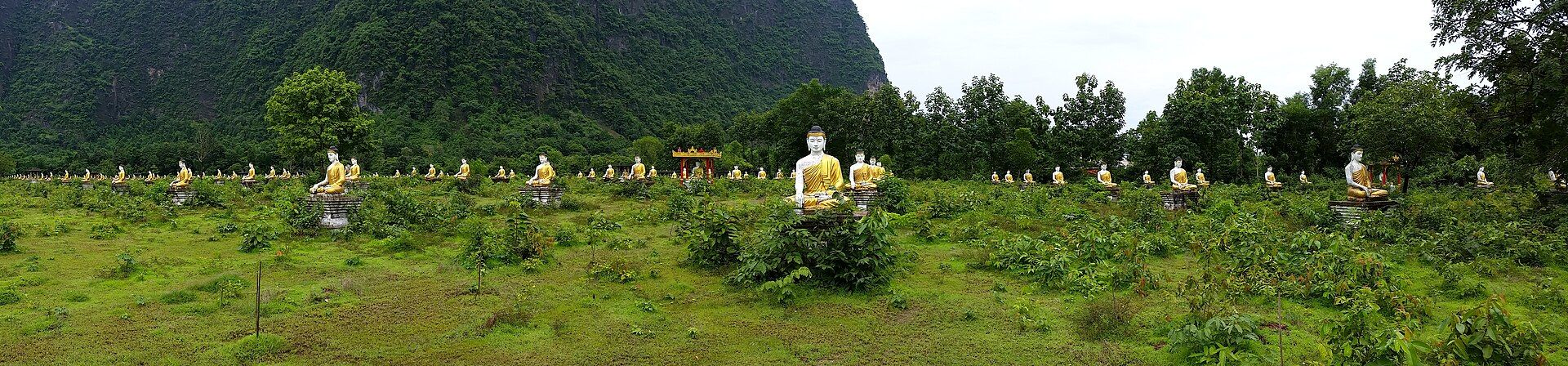
Around the quiet riverside town of Hpa-An, the capital of Kayin State, jagged limestone mountains erupt from a flat green plain of rice fields — a classic tropical karst landscape, more than 250 million years in the making, dissolved by rain and time into towers, cliffs, and a honeycomb of caves. The most striking peak, Mount Zwegabin, rises like a fang above the paddies, while beneath the surrounding hills spread enormous caverns such as Sadan and Kawgun, their walls and floors crowded with thousands of Buddha statues and ancient clay votive tablets.
Why visit
Hpa-An offers dramatic scenery with few crowds: paddy fields glowing under karst peaks, sunrise from the summit of Mount Zwegabin, and caves you can walk clean through the mountain, emerging to hidden lakes crossed by boat. At dusk, a river of bats streams for miles out of a cave mouth to feed. It is one of the most beautiful and least-visited corners of Myanmar.
More views of Hpa-An Karst
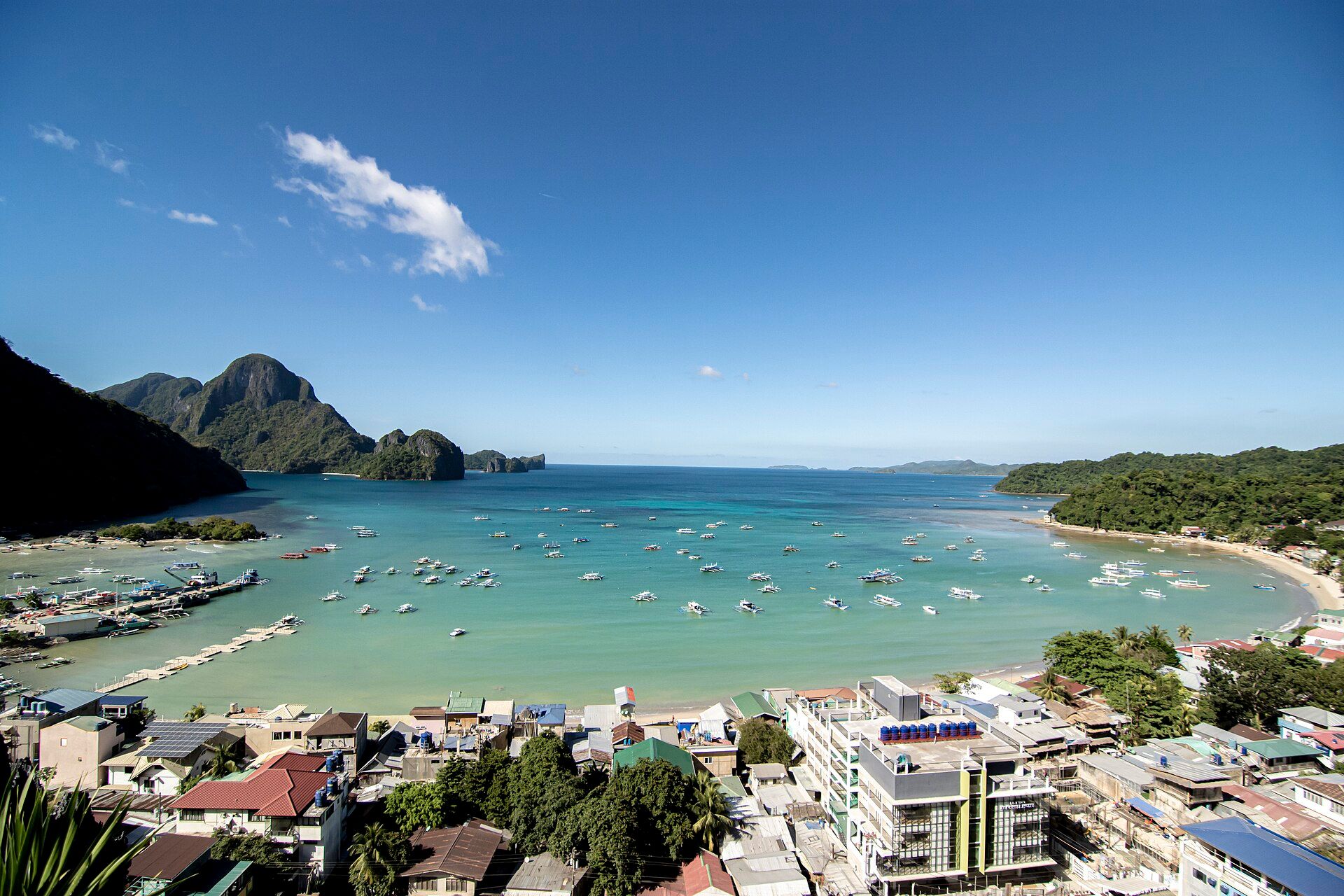
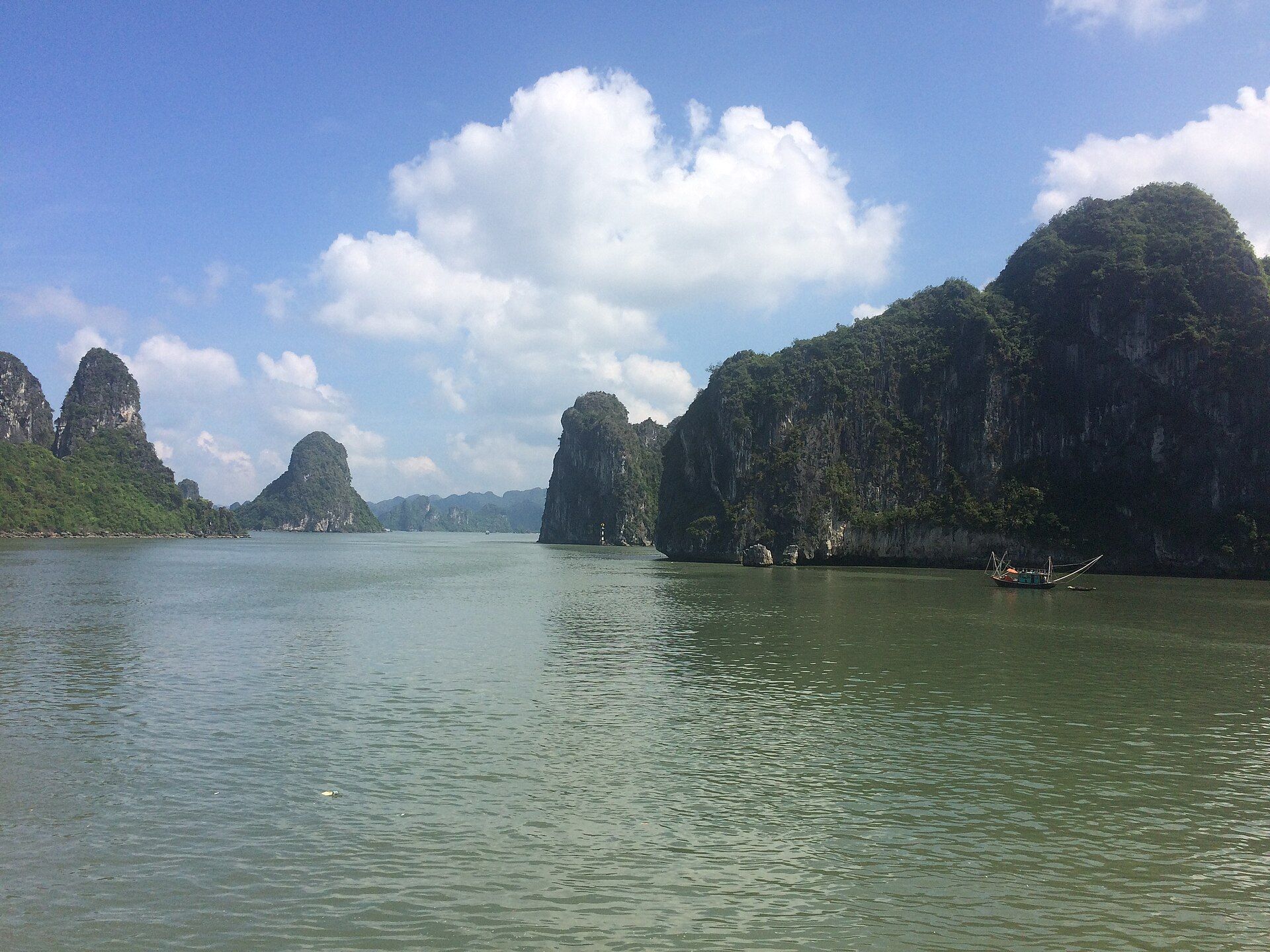
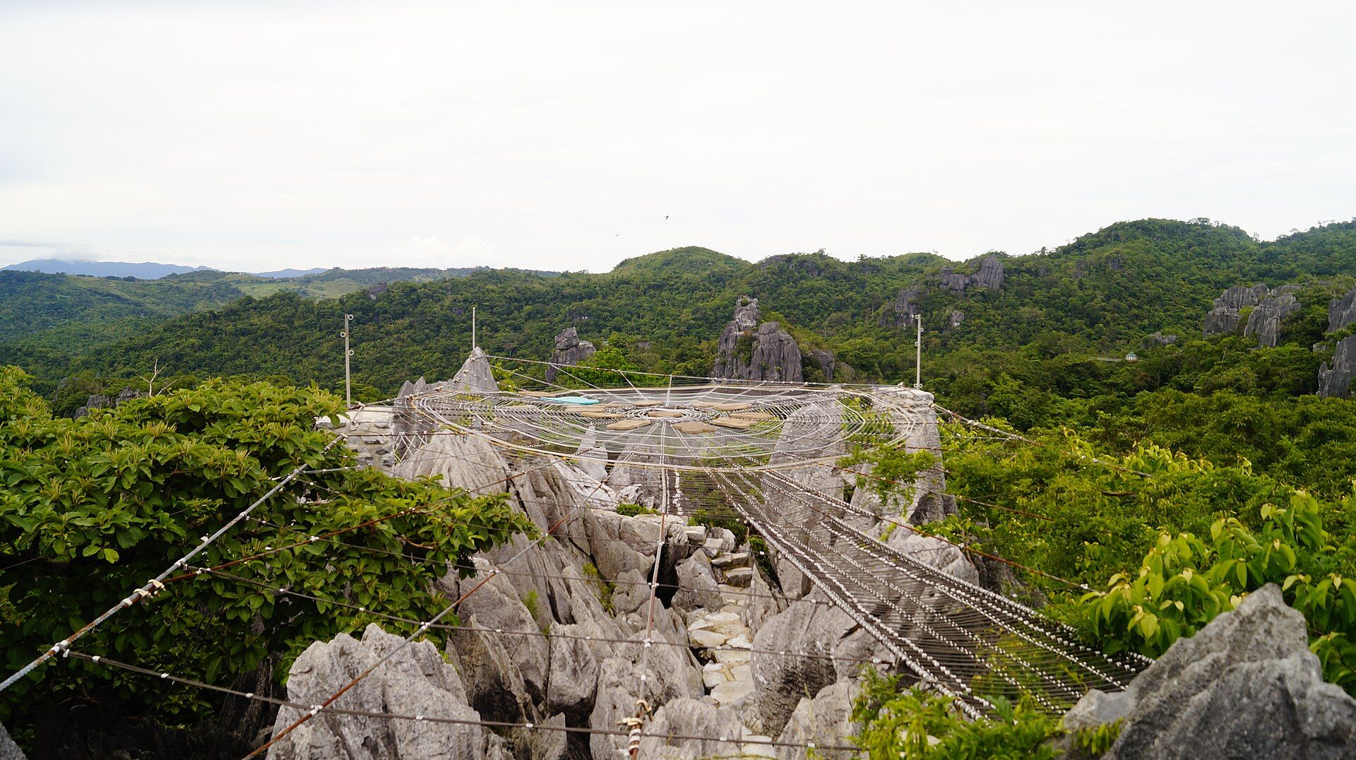
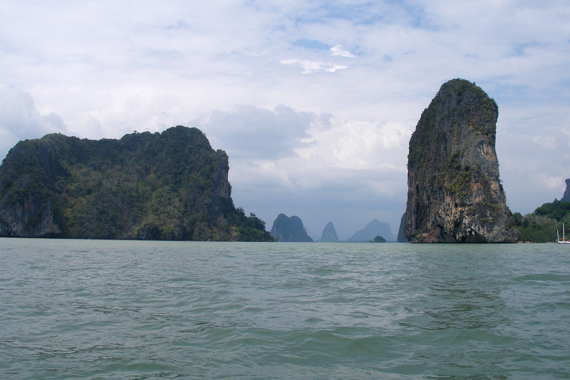
Additional photographs of the actual site — each freely licensed, with its photographer and licence credited.
What to know before you go
🗓️ Best time
The cool, dry season of roughly November to February for pleasant weather, firm cave floors, and clear views; the monsoon floods the fields and caves but greens the whole plain.
🧭 Getting there & access
Reached by road or river from Yangon or Mawlamyine to the town of Hpa-An. The caves, mountains, and viewpoints lie in the surrounding countryside, explored by hired motorbike, tuk-tuk, or car, often as a looping day tour.
Good to know
- Time a late-afternoon visit to a bat cave to see the evening exodus.
- Wear grippy shoes for slick, sometimes flooded cave floors.
- Hire a local driver for the loop of caves, peaks, and viewpoints.
Plan your visit
Moderate🧭 Getting there
From Yangon (RGN), then Hpa-An
- Fly to Yangon
- Road or river to Hpa-An via Mawlamyine — several hours
- Explore the caves, peaks, and viewpoints by motorbike, tuk-tuk, or car
- Total travel
- A long day's travel from Yangon; best as an overnight base
- Time at site
- 2–3 days for the caves, Mount Zwegabin, and countryside
- Access
- The caves and viewpoints charge small local fees; some are active shrines requiring shoes off and modest dress. A hired driver or motorbike is the practical way to loop the sites. Check current travel advice for Myanmar.
🎒 What to bring & consider
- Grippy shoes for wet, uneven cave floors and the Zwegabin climb
- A torch for the darker caves
- Sun protection, water, and insect repellent
- Cash for local fees and modest dress for shrines
👁️ What to expect
- Crowds
- Quiet by Myanmar standards; local pilgrims at the shrine-caves, few foreign visitors.
- Conditions
- Hot, humid plains and cool, dark, sometimes slippery caves; a steep climb up Zwegabin.
- Facilities
- Guesthouses and eateries in Hpa-An town; basic at the caves.
- The view
- Mount Zwegabin rising above the paddies, or a river of bats pouring from a cave at dusk. Cool-season light and clear skies are best.
Times and requirements are approximate and change with season, weather, and local rules — confirm permits, fares, and schedules with operators before you travel.
Natural riches of the area
- Tropical limestone karst mountains and towers
- Vast caves and underground passages
- Emerald rice-paddy plains between the peaks
- Huge bat colonies and cave ecosystems
Local food
- Mohinga
- The fish-and-noodle soup eaten across Myanmar, often for breakfast.
- Karen-style dishes
- The rice, greens, and chilli-forward cooking of the local Karen people.
Hpa-An is one of Myanmar’s most beautiful and overlooked landscapes — a place where sheer limestone mountains rise straight out of a flat plain of emerald rice fields. This is classic tropical karst: reef limestone laid down over 250 million years ago, uplifted and then slowly dissolved by rain into towers, cliffs, and an underworld of caves. The fang-like peak of Mount Zwegabin dominates the plain, while beneath the surrounding hills lie enormous caverns like Sadan and Kawgun, their chambers filled with thousands of Buddha images and centuries-old clay votive tablets.
The rewards here are scenery and stillness in equal measure: paddy fields glowing beneath the karst, a sunrise scramble up Mount Zwegabin, and caves so large you can walk right through a mountain and emerge at a hidden lake to be paddled across by boat. At dusk, a seemingly endless stream of bats pours from a cave mouth to feed over the fields. Dramatic, barely developed and drawing few visitors, Hpa-An is one of the quiet gems of Southeast Asia.
Hpa-An Karst: common questions
How do you get to Hpa-An Karst?
From Yangon (RGN), then Hpa-An: Fly to Yangon; Road or river to Hpa-An via Mawlamyine — several hours; Explore the caves, peaks, and viewpoints by motorbike, tuk-tuk, or car. Total travel time: A long day's travel from Yangon; best as an overnight base.
When is the best time to visit Hpa-An Karst?
The cool, dry season of roughly November to February for pleasant weather, firm cave floors, and clear views; the monsoon floods the fields and caves but greens the whole plain.
How long should you spend at Hpa-An Karst?
2–3 days for the caves, Mount Zwegabin, and countryside. Total travel time: A long day's travel from Yangon; best as an overnight base.
What should you bring to Hpa-An Karst?
Grippy shoes for wet, uneven cave floors and the Zwegabin climb A torch for the darker caves Sun protection, water, and insect repellent Cash for local fees and modest dress for shrines
Do you need a permit or guide for Hpa-An Karst?
The caves and viewpoints charge small local fees; some are active shrines requiring shoes off and modest dress. A hired driver or motorbike is the practical way to loop the sites. Check current travel advice for Myanmar.
Is Hpa-An Karst crowded, and what are conditions like?
Quiet by Myanmar standards; local pilgrims at the shrine-caves, few foreign visitors. Hot, humid plains and cool, dark, sometimes slippery caves; a steep climb up Zwegabin. Facilities: Guesthouses and eateries in Hpa-An town; basic at the caves.
Added Updated
More wonders to explore