🇹🇯 Natural wonders of Tajikistan
Ninety-three per cent mountain — the Pamirs in the east above 7,000 metres, the Fann Mountains in the west with their turquoise landslide lakes, and glaciers that feed most of Central Asia's water.
🗓️ Best time for nature: Late June to mid-September is the window for the high country, when the passes are clear and the trekking routes are open. July and August suit mountaineering. Outside that, snow closes the high ground and the Pamir Highway becomes serious.
The lay of the land
Around ninety-three per cent of Tajikistan is mountain, and the country is essentially the western end of the Pamir knot where several of Asia's great ranges converge. The east is the Pamir plateau proper — cold, high, treeless, rising above 7,000 metres and carrying the Fedchenko Glacier, one of the longest glaciers outside the polar regions. The west holds the Pamir-Alay: the Zarafshan and Gissar ranges, and between them the Fann Mountains, a compact block of around a hundred peaks with a dozen above 5,000 metres and a series of intensely coloured lakes, several of them dammed by landslides. Meltwater from these mountains feeds the Amu Darya and the Syr Darya and, through them, most of Central Asia — which makes Tajikistan the water tower of the region.
Where to begin
-
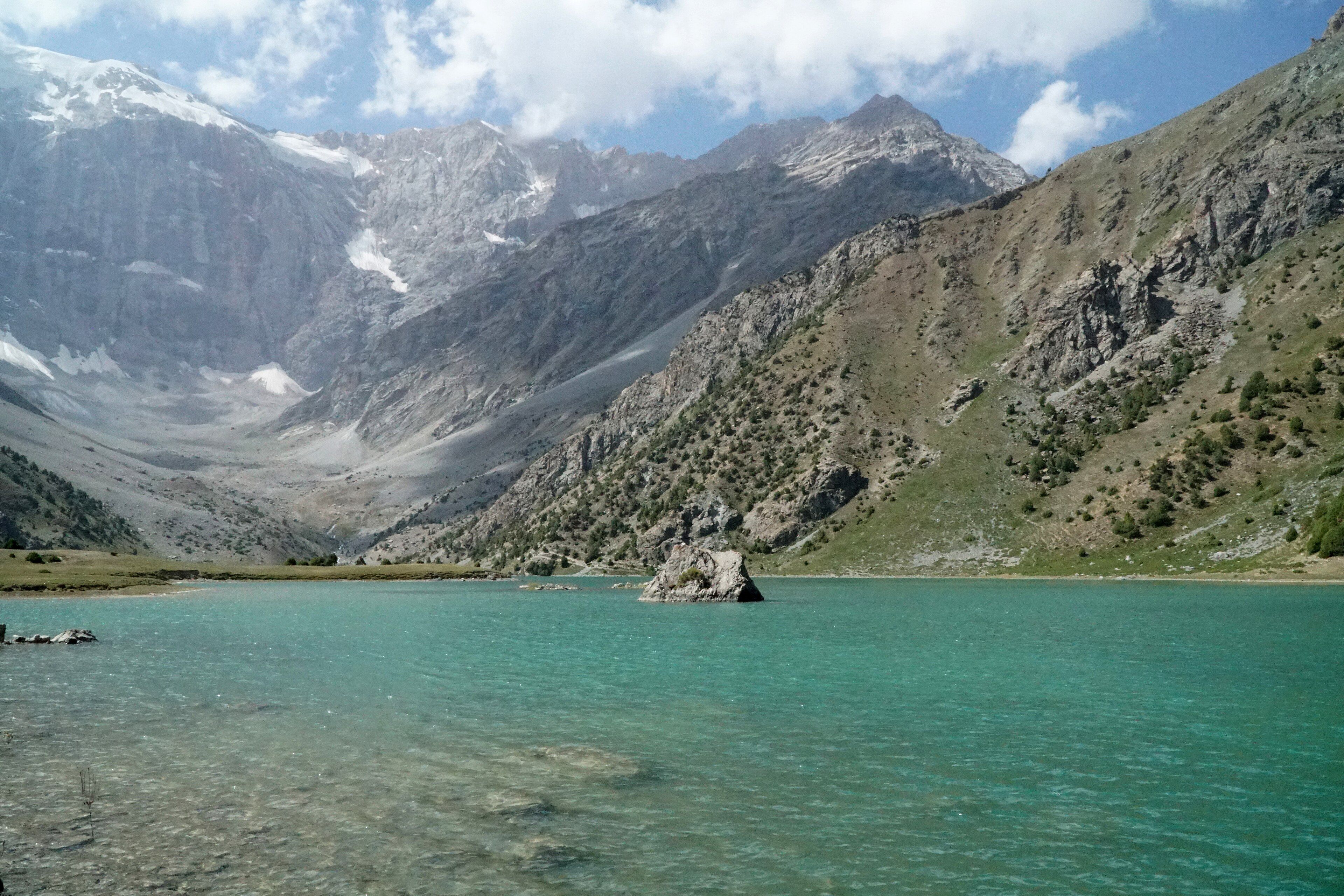
The Fann Mountains
About a hundred peaks in a compact block, with turquoise landslide-dammed lakes beneath the walls.
A taste of the place
Tajik cooking is Persian-inflected Central Asian: osh, the rice pilaf cooked in a kazan with mutton and carrot; qurutob, flatbread torn into dried yoghurt with onion and herbs, and the national dish; tandoor-baked non; and chakka, strained sour yoghurt eaten with almost everything.
Traveling responsibly
- The Fann Mountains need no special permit; the Pamir corridor in the east does — check current requirements.
- Panjakent, the gateway to the Fanns, is closer to Samarkand in Uzbekistan than to Dushanbe.
- Roads to trailheads are rough and river crossings close them after rain. Allow spare days.
Tajikistan is about ninety-three per cent mountain, which is a higher proportion than almost anywhere. It sits on the western side of the Pamir knot, the point where the Himalaya, Karakoram, Hindu Kush, Kunlun and Tian Shan all converge, and the country is essentially what that collision left behind.
The east is the Pamir plateau: high, cold, dry and treeless, rising above 7,000 metres, with the Fedchenko Glacier — one of the longest glaciers anywhere outside the polar regions — running down its spine. It is spectacular and it is difficult; travel there needs permits and time.
The west is more approachable and, for a lot of people, more rewarding. The Pamir-Alay throws up the Zarafshan and Gissar ranges, and between them sits the Fann Mountains: around a hundred peaks in a block small enough to cross on foot in a week, at least eight of them over 5,000 metres, with Chimtarga highest at 5,489. What the Fanns are known for is water — a series of lakes in an improbable mineral turquoise, several of them formed when landslides fell across rivers and stopped them. Iskanderkul is the largest.
All of that ice matters far beyond the borders. Meltwater from these ranges feeds the Amu Darya and the Syr Darya, and those two rivers supply most of Central Asia. Tajikistan is the region’s water tower, which is why what happens to its glaciers is a question for five countries rather than one.
Added
All wonders in Tajikistan
1 places