🇩🇿 Natural wonders of Algeria
Africa's largest country, and about four-fifths Sahara — sandstone plateaus eroded into rock forests, volcanic peaks in the Hoggar, and a Mediterranean coastline behind the Atlas ranges.
🗓️ Best time for nature: October to March for the Sahara, when nights are cold but days are workable; the deep south is dangerously hot from May to September. The Mediterranean coast and the Atlas are best from April to June and September to October.
The lay of the land
Algeria divides sharply. A narrow Mediterranean coastal strip and the Tell Atlas hold most of the population and almost all the cultivation; behind them the High Plateaus and the Saharan Atlas mark the transition; and south of that, some four-fifths of the country is desert. The Sahara here is not uniform. There are the great sand seas — the Grand Erg Oriental and Occidental — but also the Hoggar, a volcanic massif of basalt plugs and spires rising above 2,900 metres, and Tassili n'Ajjer, an enormous sandstone plateau in the southeast eroded into freestanding towers and nearly three hundred natural arches. Both hold relict populations left over from a wetter Sahara, including the endangered Saharan cypress. Northern gorges on the Tassili keep permanent pools of water in the middle of the driest ground on the continent.
Where to begin
-
Tassili n'Ajjer
72,000 km² of sandstone plateau eroded into rock forests, with nearly 300 natural arches.
A taste of the place
Algerian cooking is Maghrebi with Ottoman and French layers: couscous steamed over stew, chorba soup, merguez and grilled meats, and mechoui for occasions. In the far south the Tuareg bake taguella, a flatbread cooked in the sand under a fire, and pour green tea three times, each round stronger.
Traveling responsibly
- Travel in the deep south is by authorised agency with guides, not independent — and advisories apply near the Libyan, Nigerien and Malian borders.
- Djanet and Tamanrasset are the Saharan gateways, both reached by air from Algiers.
- Desert nights in winter drop below freezing. Pack for both extremes.
Algeria is the largest country in Africa, and roughly four-fifths of it is Sahara. The habitable part is a strip: a Mediterranean coast, the Tell Atlas behind it, then the High Plateaus and the Saharan Atlas marking the edge. South of that line the country becomes desert and stays desert for well over a thousand kilometres.
That desert is far more varied than the word suggests. There are the classic sand seas, the Grand Erg Oriental and Occidental, dune fields on a scale that is difficult to photograph honestly. There is the Hoggar in the south, a volcanic massif where erosion has stripped away the softer rock and left basalt plugs and spires standing above 2,900 metres. And in the southeast, up against the Libyan and Nigerien borders, there is Tassili n’Ajjer — more than 72,000 square kilometres of sandstone plateau that wind and heat have worked into dense stands of freestanding towers, with nearly three hundred natural arches cut through the southeastern sector.
The Tassili also holds a reminder that the Sahara has not always been this. Its northern gorges keep permanent pools of water; relict populations of plants and animals from a wetter climate survive in pockets, including the endangered Saharan cypress; and the layers of the plateau itself record an ice sheet that covered northern Africa 443 million years ago. The name means “plateau of rivers”, and it was accurate once.
Practically, the deep south is not a self-drive destination. Travel there runs through authorised Algerian agencies with local guides, advisories apply along the southern borders, and the rules change — all of which is worth checking before building a trip around it.
Added
All wonders in Algeria
1 places
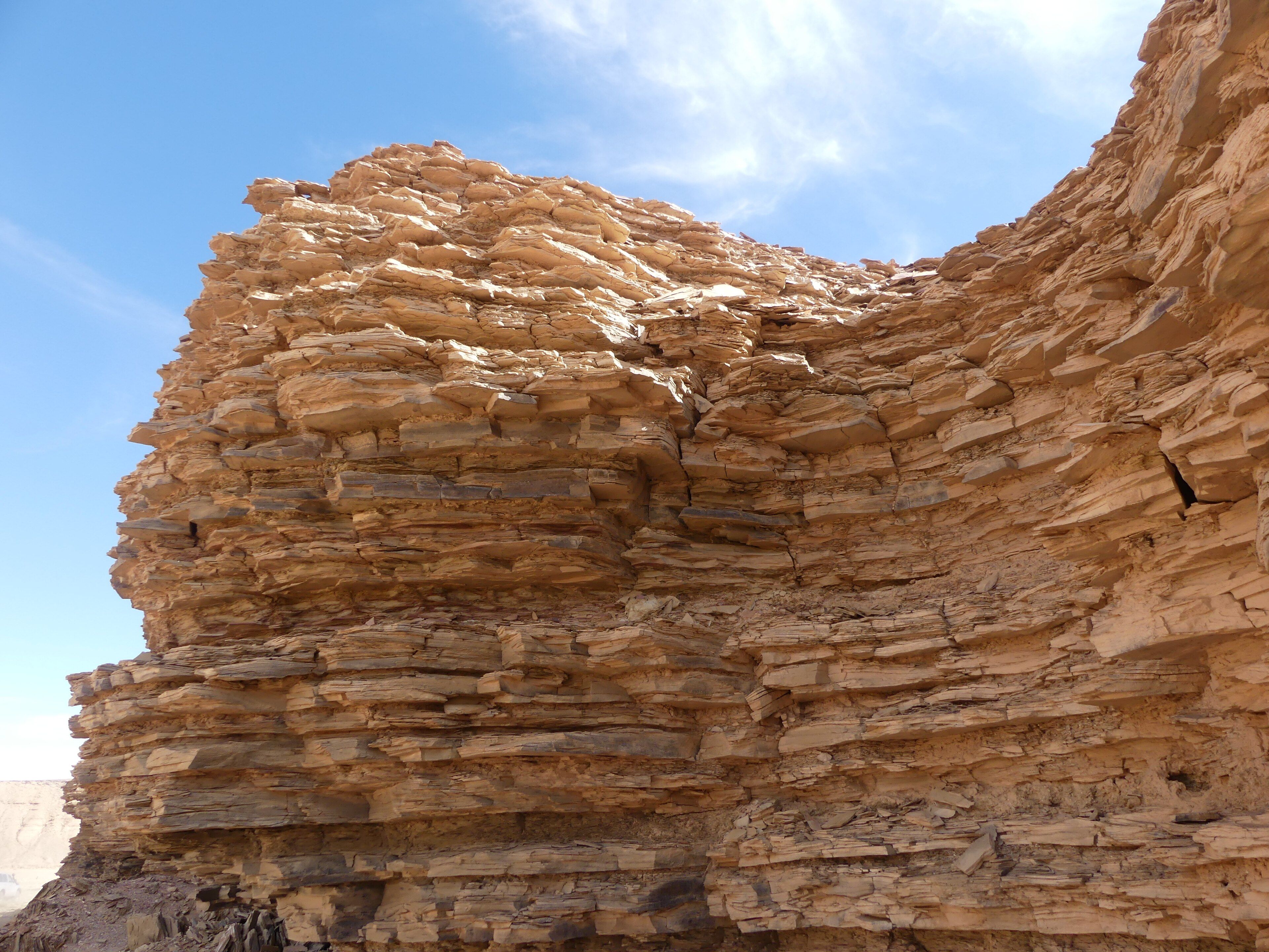
Tassili n'Ajjer
Illizi and Djanet, southeastern Algeria, at the Libyan and Nigerien borders